Explore Bangkok
Bangkok's 50 Districts
From the royal old city and dense shopping core to canal communities, suburban centres, and the Gulf coast, every district reveals a different Bangkok.
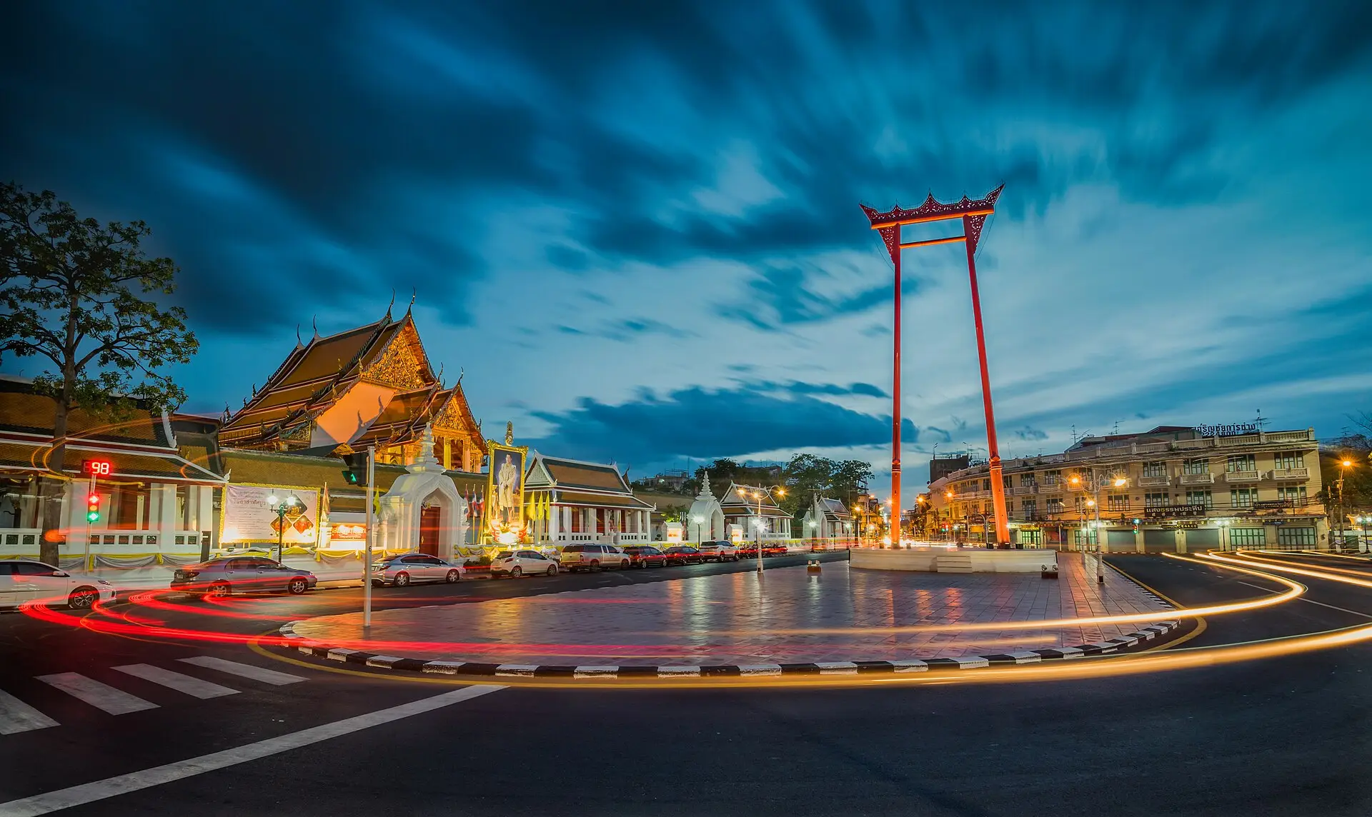
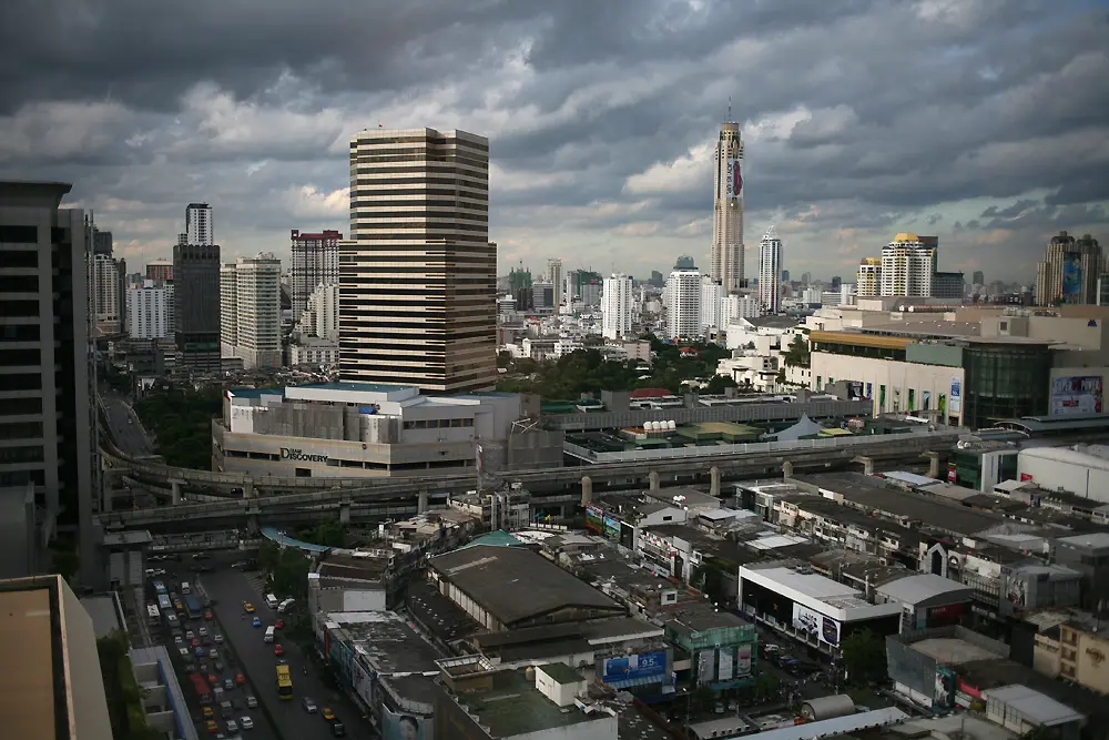
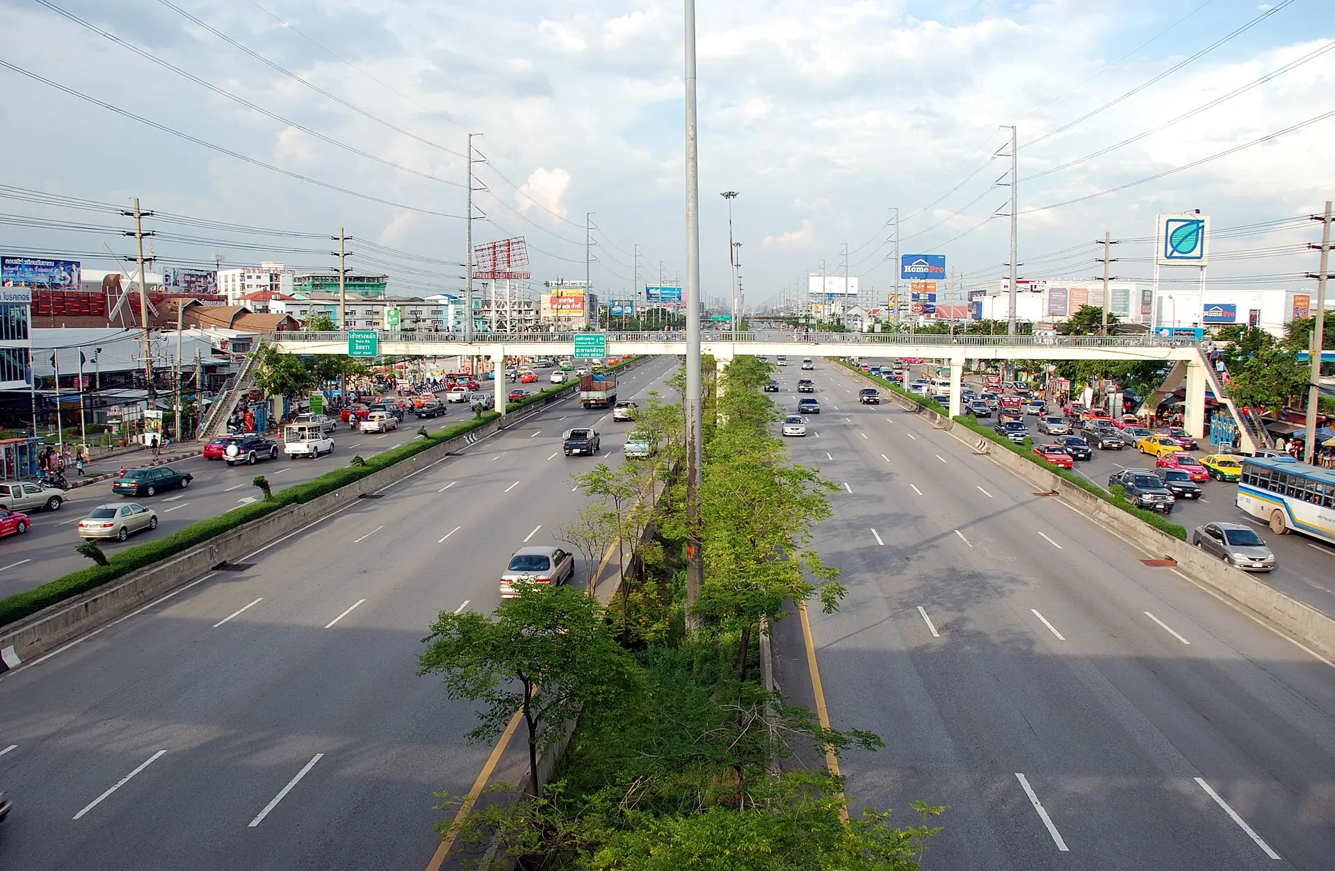
One city, 50 different pieces
Bangkok's 50 districts (เขต, khet) range from the compact old-city streets of Phra Nakhon to vast outer districts shaped by canals, highways, industry, farmland, and the coast. Each is divided into subdistricts (แขวง, khwaeng) and used in addresses, public services, schools, hospitals, and property records.
Districts are not the same as the neighbourhood names people use in daily life. Sukhumvit is a long road corridor, Ari is a neighbourhood, Yaowarat is a street and cultural area, and Khao San Road is a destination; none is one of Bangkok's 50 khet. If you are choosing where to stay or spend time, begin with the Bangkok areas directory. Use this page when you need the formal district behind an address or want to understand the wider part of the city around it.
How to use the map and table
The numbers on the map match the first column in the table. They identify districts; they are not a ranking. Search the table visually by number, English name, Thai name, or postcode, then open a district guide for its khwaeng, boundaries, transport links, places, and practical tradeoffs.
Names can be misleading. Phaya Thai station is in Ratchathewi district, while Phra Khanong BTS station is in Watthana rather than Phra Khanong district. The everyday Sathorn area also extends beyond Sathon district into Bang Rak. Checking the district page before booking accommodation or planning a commute can prevent mistakes caused by a familiar station, road, or neighbourhood name.
Use the address, not the district's reputation
Large districts can contain several very different settings, and two addresses in the same district may have completely different access to rail, expressways, schools, markets, and riverside crossings. For a move, compare the exact home-to-work or home-to-school journey with the Where to Live in Bangkok guide. For a visit, check the nearest usable station and the final walk or taxi leg with Getting Around Bangkok.
All 50 Bangkok districts
The numbered map and table follow the official 50-district structure. Select a district for its Thai name, postal context, practical character, transport relationships, and connected places.
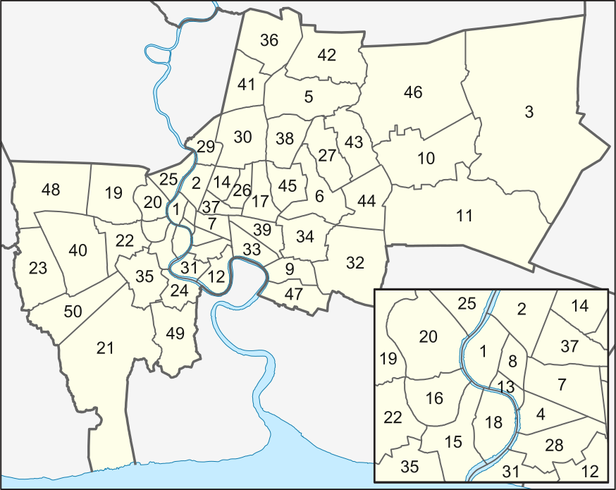
Map: Wikimedia Commons, CC BY-SA 3.0
| # | District | เขต | Postal |
|---|---|---|---|
| 1 | Phra Nakhon | พระนคร | 10200 |
| 2 | Dusit | ดุสิต | 10300 |
| 3 | Nong Chok | หนองจอก | 10530 |
| 4 | Bang Rak | บางรัก | 10500 |
| 5 | Bang Khen | บางเขน | 10220 |
| 6 | Bang Kapi | บางกะปิ | 10240 |
| 7 | Pathum Wan | ปทุมวัน | 10330 |
| 8 | Pom Prap Sattru Phai | ป้อมปราบศัตรูพ่าย | 10100 |
| 9 | Phra Khanong | พระโขนง | 10260 |
| 10 | Min Buri | มีนบุรี | 10510 |
| 11 | Lat Krabang | ลาดกระบัง | 10520 |
| 12 | Yan Nawa | ยานนาวา | 10120 |
| 13 | Samphanthawong | สัมพันธวงศ์ | 10100 |
| 14 | Phaya Thai | พญาไท | 10400 |
| 15 | Thon Buri | ธนบุรี | 10600 |
| 16 | Bangkok Yai | บางกอกใหญ่ | 10600 |
| 17 | Huai Khwang | ห้วยขวาง | 10310 |
| 18 | Khlong San | คลองสาน | 10600 |
| 19 | Taling Chan | ตลิ่งชัน | 10170 |
| 20 | Bangkok Noi | บางกอกน้อย | 10700 |
| 21 | Bang Khun Thian | บางขุนเทียน | 10150 |
| 22 | Phasi Charoen | ภาษีเจริญ | 10160 |
| 23 | Nong Khaem | หนองแขม | 10160 |
| 24 | Rat Burana | ราษฏร์บูรณะ | 10140 |
| 25 | Bang Phlat | บางพลัด | 10700 |
| 26 | Din Daeng | ดินแดง | 10400 |
| 27 | Bueng Kum | บึงกุ่ม | 10240 |
| 28 | Sathon | สาทร | 10120 |
| 29 | Bang Sue | บางซื่อ | 10800 |
| 30 | Chatuchak | จตุจักร | 10900 |
| 31 | Bang Kho Laem | บางคอแหลม | 10120 |
| 32 | Prawet | ประเวศ | 10250 |
| 33 | Khlong Toei | คลองเตย | 10110 |
| 34 | Suan Luang | สวนหลวง | 10250 |
| 35 | Chom Thong | จอมทอง | 10150 |
| 36 | Don Mueang | ดอนเมือง | 10210 |
| 37 | Ratchathewi | ราชเทวี | 10400 |
| 38 | Lat Phrao | ลาดพร้าว | 10230 |
| 39 | Watthana | วัฒนา | 10110 |
| 40 | Bang Khae | บางแค | 10160 |
| 41 | Lak Si | หลักสี่ | 10210 |
| 42 | Sai Mai | สายไหม | 10220 |
| 43 | Khan Na Yao | คันนายาว | 10230 |
| 44 | Saphan Sung | สะพานสูง | 10240 |
| 45 | Wang Thonglang | วังทองหลาง | 10310 |
| 46 | Khlong Sam Wa | คลองสามวา | 10510 |
| 47 | Bang Na | บางนา | 10260 |
| 48 | Thawi Watthana | ทวีวัฒนา | 10170 |
| 49 | Thung Khru | ทุ่งครุ | 10140 |
| 50 | Bang Bon | บางบอน | 10150 |