Wikimedia Commons, CC BY-SA 3.0
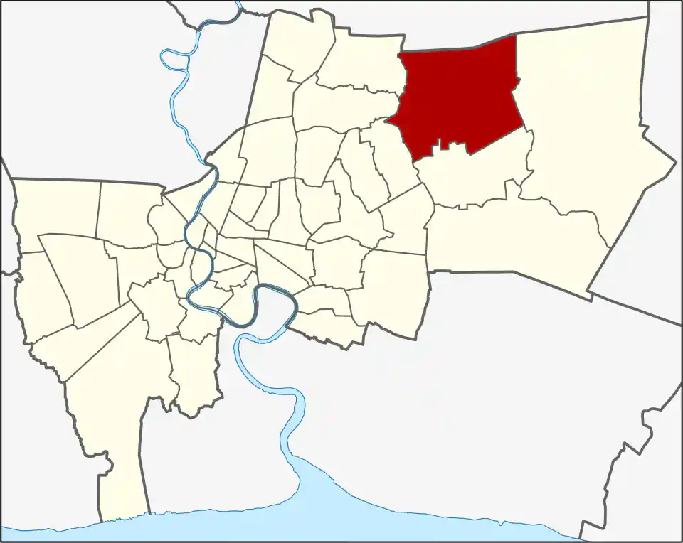
Khlong Sam Wa is one of Bangkok’s largest districts by area: 110.686 km² divided across Sam Wa Tawan Tok (24.249 km²), Sam Wa Tawan Ok (40.574 km²), Bang Chan (18.644 km²), Sai Kong Din (11.396 km²), and Sai Kong Din Tai (15.823 km²). The five khwaeng are broad residential and local-service areas as well as administrative divisions. Safari World is in Sam Wa Tawan Tok; it is a long road journey from rail, so visitors should check the entrance and return route before setting out. Bang Chan Pink Line station serves only one part of the district, while the two Sam Wa khwaeng together cover almost three-fifths of its land. The district was established in 1997 from Min Buri. Its name refers to a canal at least three wa wide, an old measurement of about 5.94 metres.
The area has a rural history that is still visible in its scale and layout. Bang Chan became a centre for Thai studies in the 1940s, when the surrounding area was still predominantly rural. The district now combines residential communities, local commercial roads, institutional land, and large destinations. It recorded 209,120 residents in 2022, the highest population of any Bangkok district in that year’s data; the figure is a dated snapshot and should not be read as a current count. High population and low density relative to inner Bangkok reflect the district’s unusually large footprint.
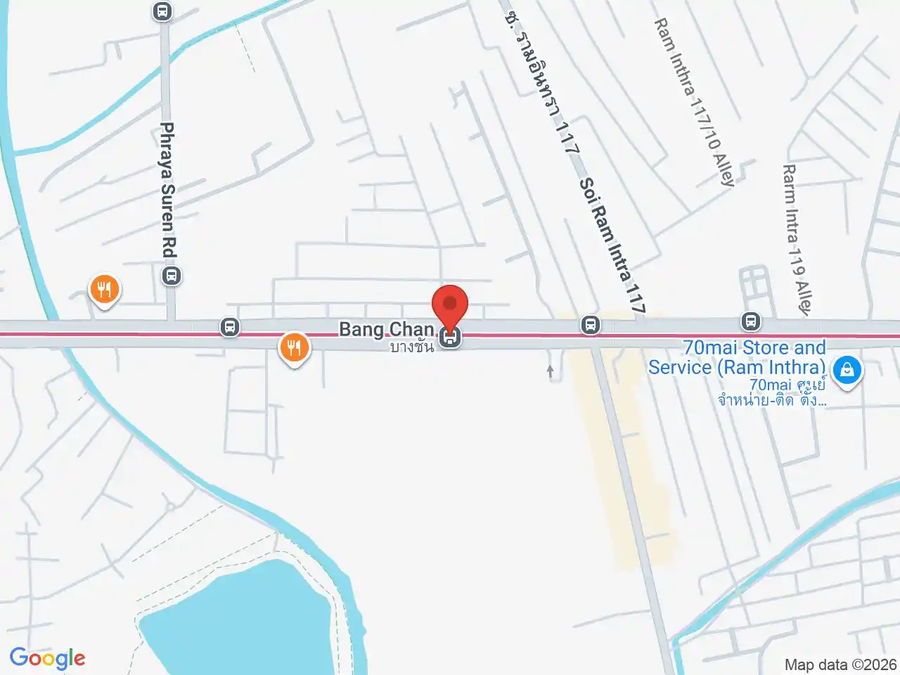
Bang Chan MRT serves one part of the district, but will not solve every commute or cross-district trip. Rattanapracharak Hospital is another useful local reference for residents. Waree Phirom Park and Bueng Phraya Floating Market are local recreation destinations; Safari World draws visitors from elsewhere in Bangkok. Residents and visitors alike should check the road route from the exact address and time of day, since buses, taxis, and private vehicles serve a much wider area than the single rail corridor.
For more information on Khlong Sam Wa, visit the Wikipedia article on Khlong Sam Wa.
MRT Stations in Khlong Sam Wa
Google Rating
12 reviews