Wikimedia Commons, CC BY-SA 3.0
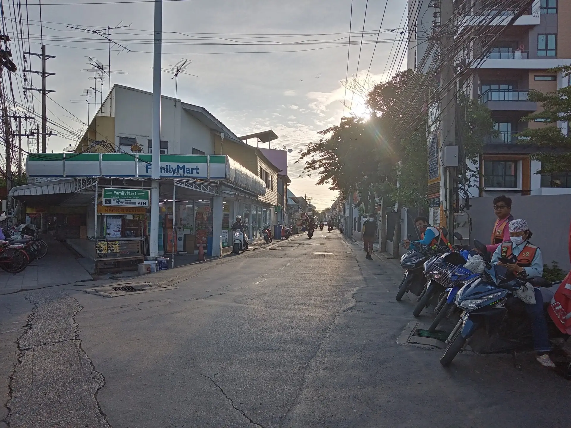
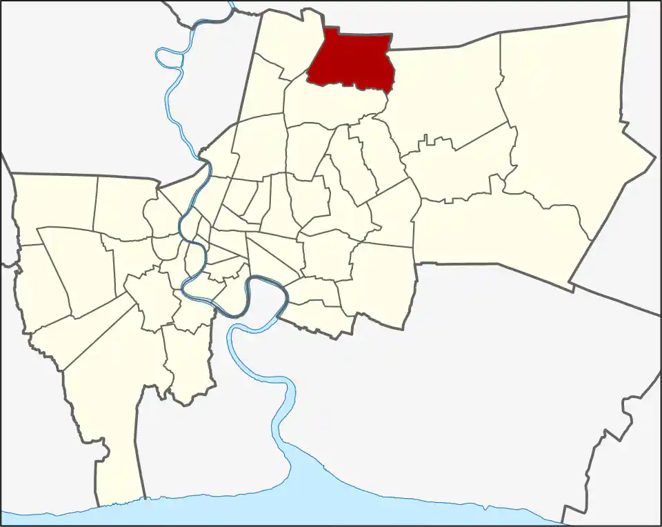
Sai Mai covers 44.615 square kilometres on Bangkok’s northern edge. Its three khwaeng are Sai Mai, O Ngoen and Khlong Thanon, and the district had 188,123 registered residents in 2017. Housing estates, older communities, schools, markets and military-related land are spread across several long road corridors rather than one centre.
Sai Mai khwaeng covers 18.659 square kilometres, O Ngoen 13.516 and Khlong Thanon 12.440. The names help narrow an address, but daily orientation usually follows Sai Mai Road, Sukhaphiban 5, Phahonyothin and the Ram Inthra approaches. Crossing between those corridors can take longer than the straight-line distance suggests.
From village to district
Sai Mai began as a village in Khu Khot, part of today’s Lam Luk Ka in Pathum Thani. It transferred to Bang Khen and became a subdistrict in 1940. Population growth led to the creation of Sai Mai district, effective in November 1997. A local story connects the name to the question “Will we be late?”, rather than to Ayutthaya’s better-known roti sai mai sweet.
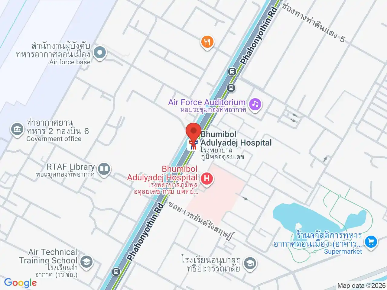
Sai Mai Avenue is a useful local shopping and dining anchor on Sai Mai Road. Bhumibol Adulyadej Hospital serves the western side near Phahonyothin Road.
Two rail edges
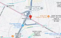
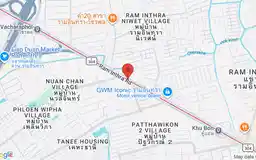
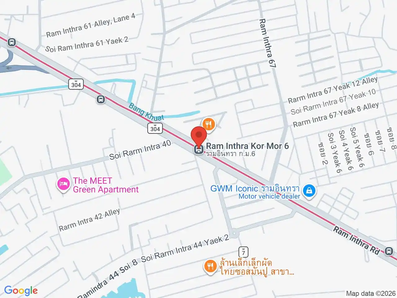
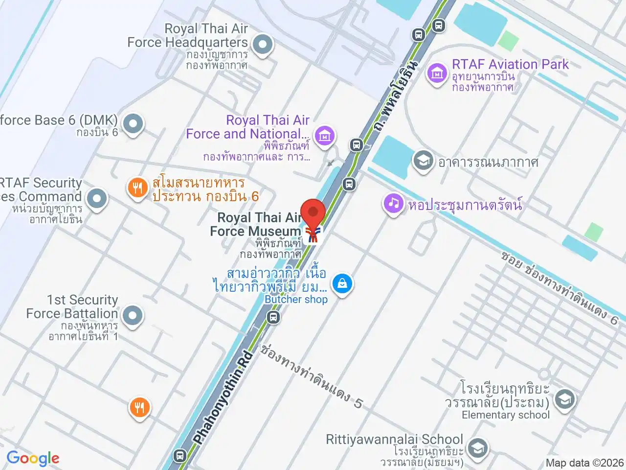
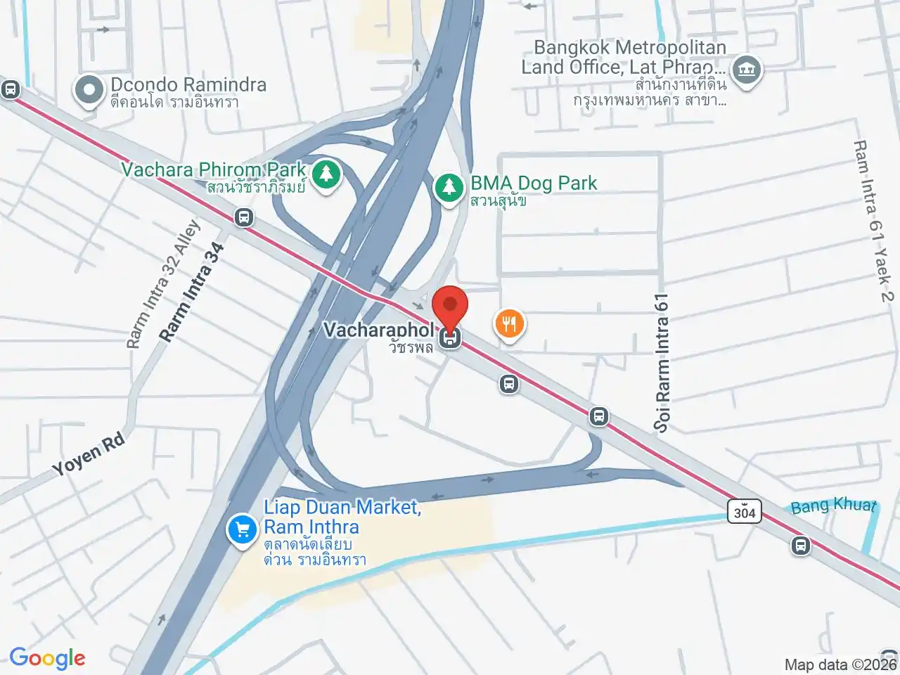
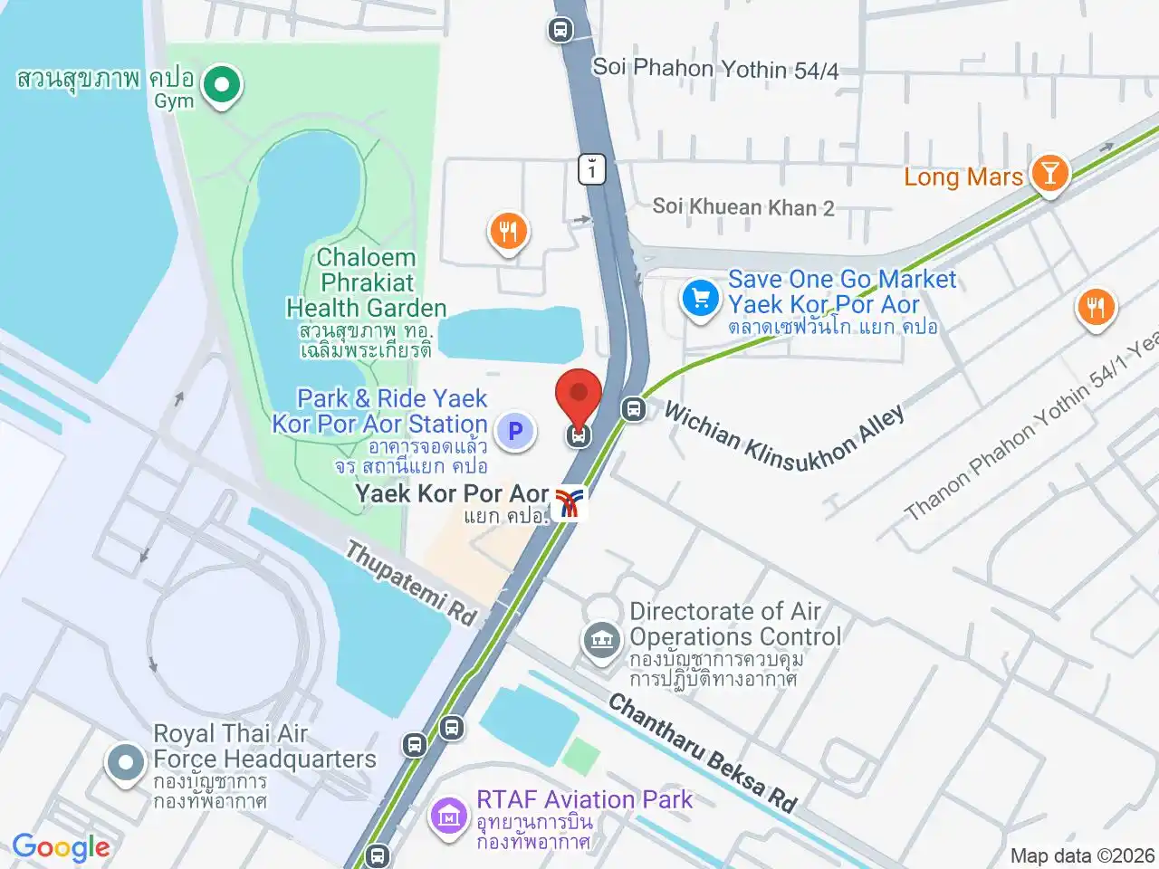
The Sukhumvit Line stations at Bhumibol Adulyadej Hospital, Royal Thai Air Force Museum and Yaek Kor Por Aor serve the western edge. Vacharaphol MRT and Ram Inthra Kor Mor 6 MRT help from the southern side.
Most Sai Mai addresses still require a bus, taxi, motorcycle or private vehicle to reach rail. For housing, test the exact trip to school, work and shopping during peak hours. A map pin inside the district can be several kilometres from the station that looks nearest.
The Green Line is most useful for Khlong Thanon and destinations near the western boundary, including the hospital and air-force institutions. The Pink Line serves journeys from the southern edge along Ram Inthra. Sai Mai Road and Sukhaphiban 5 reach the larger residential interior, where neither line removes the last-mile trip. Choose the rail corridor only after checking which main road connects to the address.
For more information on Sai Mai, visit the Wikipedia article on Sai Mai.
BTS/MRT Stations in Sai Mai
Bhumibol Adulyadej Hospital
โรงพยาบาลภูมิพลอดุลยเดช
Major Air Force hospital and surrounding medical district.
Google Rating
17 reviews
Royal Thai Air Force Museum
พิพิธภัณฑ์กองทัพอากาศ
Historic aircraft and Thailand’s military aviation heritage.
Google Rating
44 reviews
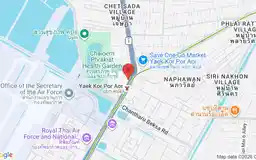
Yaek Kor Por Aor
แยก คปอ.
Northern commuter hub beside the Royal Thai Air Force district.
Google Rating
10 reviews
Google Rating
19 reviews
Google Rating
25 reviews
Shopping in Sai Mai
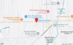
Sai Mai Avenue
Google Rating
1,390 reviews
A modern neighbourhood shopping centre with restaurants and services on Sai Mai Road.
Hospitals in Sai Mai
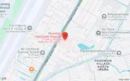
Bhumibol Adulyadej Hospital
Google Rating
717 reviews
A major Royal Thai Air Force hospital in Sai Mai, near the northern edge of Don Mueang district.