Wikimedia Commons, CC BY-SA 3.0
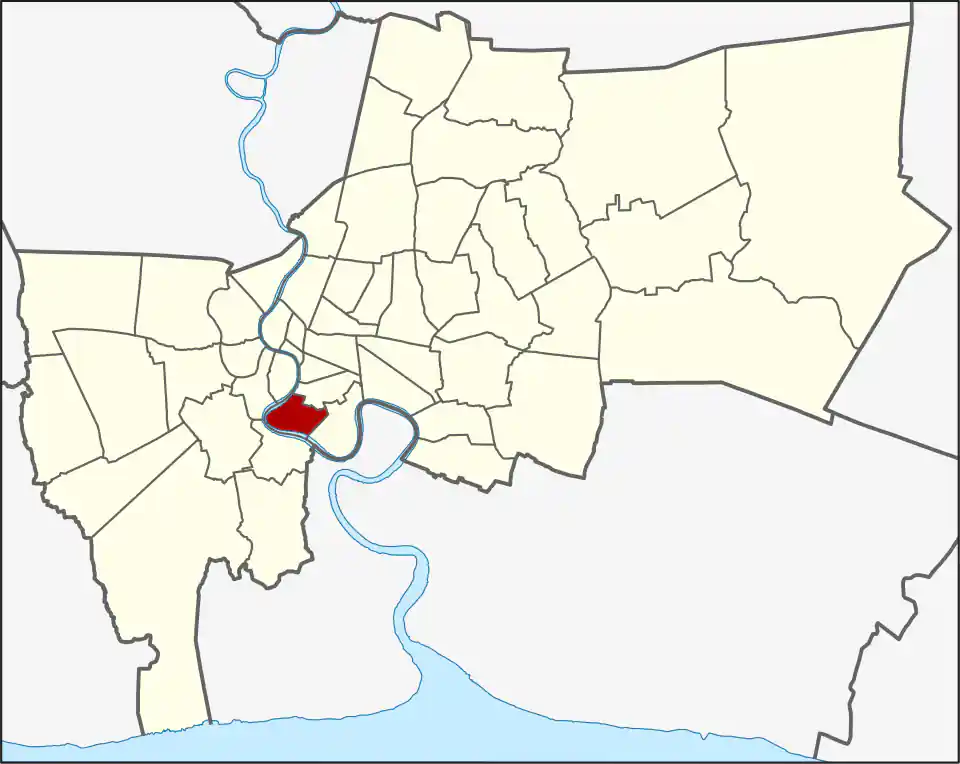
Bang Kho Laem lies along the east bank of the Chao Phraya below Sathon and Bang Rak. Charoen Krung Road connects its older riverside communities, while Rama III and surrounding roads serve newer homes, offices, schools, warehouses, and local commerce.
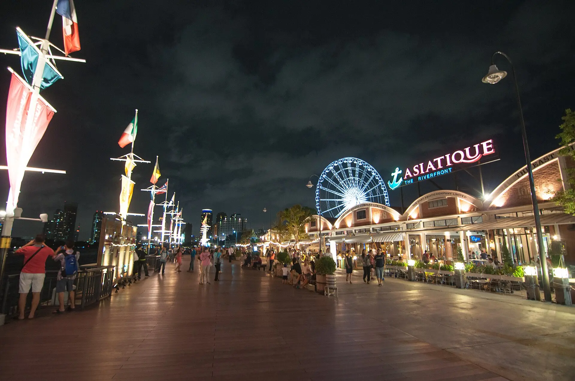
The district’s 10.921 km² are divided into Bang Kho Laem (2.749 km²), Wat Phraya Krai (2.300 km²), and Bang Khlo (5.872 km²). Bang Khlo accounts for more than half the land area, while visitor-facing Asiatique is in Wat Phraya Krai. The Asiatique The Riverfront identifies that specific riverside destination; it does not locate a hotel or pier elsewhere in the district. Bang Kho Laem had 89,358 residents in 2017. It became a separate khet in 1989 after growing as an administrative branch of Yan Nawa. The district name is often translated as “place of narrow neck,” referring to the sharp bend in the Chao Phraya here.
Asiatique and the wider riverfront
Asiatique The Riverfront is the district’s clearest visitor destination, covering the night market, riverside dining, and evening entertainment in one guide. It is an evening-focused complex, not a summary of the whole district.
Much of Bang Kho Laem’s river edge is occupied by private residences, hotels, workplaces, and local communities. Confirm public access or a working pier before planning a river walk or boat trip.
The riverside also includes long-established communities that are easy to miss if the district is reduced to its best-known attraction. Around Charoen Krung 103, Suan Luang 1 is a Muslim community whose former canal has become a smaller waterway; a community market developed there in the 2010s. That history sits alongside the district’s active roads and workplaces, not as a continuous visitor promenade. Check the exact address and transport arrangement for any community venue as carefully as for a hotel or restaurant.
Transport
There is no BTS or MRT station inside Bang Kho Laem. Saphan Taksin BTS and Sathorn Pier are common gateways for the northern part of Charoen Krung, followed by a shuttle boat, bus, taxi, or local ride depending on the destination. Rama III addresses may be easier by road.
Do not assume an Asiatique shuttle solves travel to every riverside address. Check the current service and the final return route.
Living and staying
The district can suit residents whose work or daily life is nearby and who want a riverside setting outside central Sathon. Charoenkrung Pracharak Hospital and Shrewsbury International School Bangkok Riverside are important local health and education destinations; check their exact campus or entrance against a prospective address. Visitors can stay here too, especially with a hotel boat or dependable transfer; a river view alone does not ensure convenient links to other parts of Bangkok.
Choosing an address
Residents should judge Bang Kho Laem by the exact home-to-work, school, or service route; visitors should pick it for Asiatique, a named restaurant such as Jek Tod, or another specific riverside destination. Use the restaurant page for its entrance and current Place information. The district is not a single walkable neighbourhood, and river access varies by address.
For more information on Bang Kho Laem, visit the Wikipedia article on Bang Kho Laem.
Restaurants in Bang Kho Laem
Restaurant Listings
Sorted by Google rating, then review count. Confirm opening hours and booking rules before you go.
Jek Tod
Noodles restaurant in Bangkok, recommended in the Michelin Guide.
Google Rating
287 reviews
Attractions in Bang Kho Laem

Asiatique The Riverfront
Google Rating
76,272 reviews
An open-air riverside night market built on old shipping warehouses with over 1,500 shops, restaurants, and a Ferris wheel along the Chao Phraya.