Wikimedia Commons, CC BY-SA 3.0
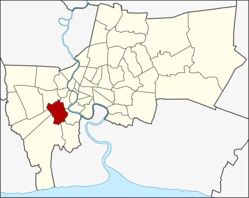
Chom Thong covers 26.265 km² south of the older Thonburi core and north of the outer Rama II districts. Its four khwaeng are Bang Khun Thian (5.789 km²), Bang Kho (3.375 km²), Bang Mot (11.918 km²) and Chom Thong (5.183 km²). Bang Mot accounts for almost half the district’s land, while the khwaeng called Bang Khun Thian should not be confused with the separate Bang Khun Thian district farther south. Chom Thong had 152,315 residents in 2017, a dated administrative count.
The area developed around canals, temples, orchards and later road, rail, housing and commercial corridors. Khlong Dan, also known as Khlong Sanam Chai, once formed an important water route toward the coast. The district is also associated with the Bang Mot tangerine, a local agricultural identity shared with neighbouring Thung Khru. Urban development has replaced much of the former orchard landscape, so the name describes history and surviving local cultivation rather than the appearance of every neighbourhood today.
Character and local geography
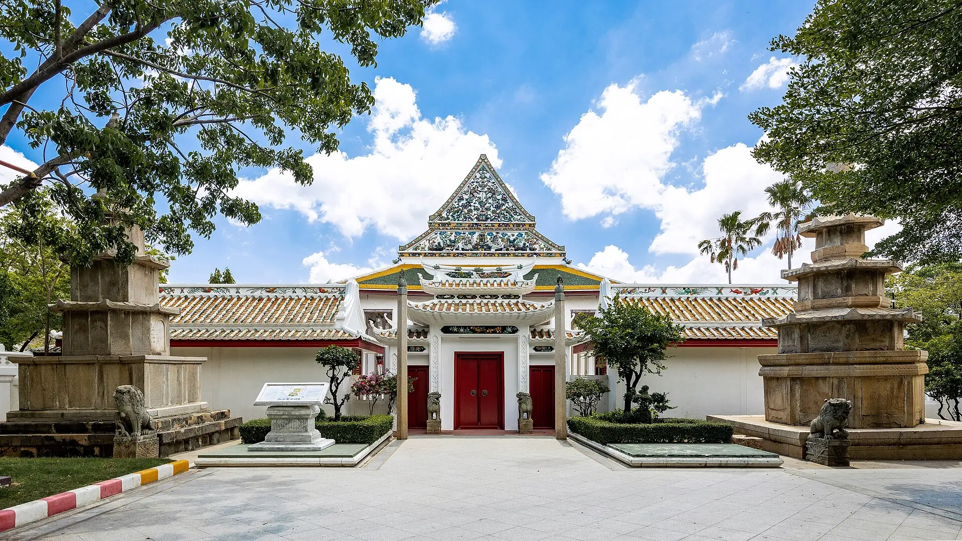
The district has several separate centres rather than one obvious downtown. Wat Sai, Chom Thong Road, Ekkachai approaches and streets toward Rama II serve different communities. Wat Ratcha-orasaram, originally known as Wat Chom Thong, is a major historic temple and the source of the district’s present name. Canals and railway corridors can make a short map distance less direct on the ground.
Temples and markets are part of everyday neighbourhood life. Visit a named place because it fits the route, not because generic “traditional Bangkok” wording promises a preserved village.
Transport
Chom Thong has no BTS or MRT station in the current WhyBangkok network. The Wongwian Yai–Maha Chai railway crosses the district and serves local stops including Wat Sai, but it is a different service from the urban rail network. Most addresses still need a bus, taxi, motorcycle taxi or private vehicle for the final leg.
For central Bangkok, compare the road connection toward a BTS or MRT corridor with a direct bus or taxi. The best answer changes by road, time, and destination.
Food and daily needs
Local markets and restaurants serve residents rather than a citywide nightlife crowd. Tammang is in Bang Mot on Rama II Road, but the district is better understood through neighbourhood routines than a short venue list.
Who Chom Thong suits
Chom Thong suits residents with work, family, or study in southwest Bangkok. Visitors should stay here only for a specific address or a deliberate local route; river, old-town, and rail-linked districts are easier for broad sightseeing.
For more information on Chom Thong, visit the Wikipedia article on Chom Thong.
Restaurants in Chom Thong
Restaurant Listings
Sorted by Google rating, then review count. Confirm opening hours and booking rules before you go.
Tammang
Vegan restaurant in Bangkok, recommended in the Michelin Guide.
Google Rating
392 reviews
Attractions in Chom Thong
Wat Ratcha Orasaram
Google Rating
1,816 reviews
A historic royal temple in Chom Thong, noted for architectural details shaped by Chinese artistic influence.
Hospitals in Chom Thong
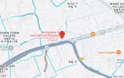
Bangpakok 9 International Hospital
Google Rating
1,857 reviews
A large private hospital on Rama II Road in Chom Thong with specialist departments and services for international patients.