Wikimedia Commons, CC BY-SA 3.0
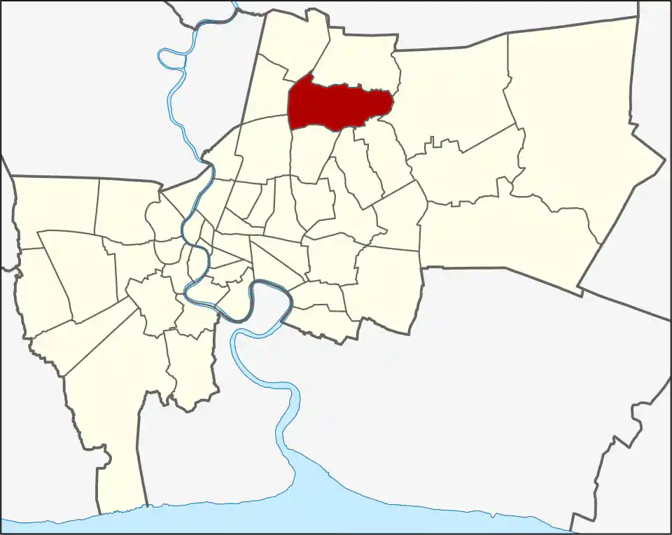
Bang Khen covers a broad part of northern Bangkok between the Phahonyothin and Ram Inthra corridors. It contains residential communities, military land, universities and colleges, government facilities, markets, and busy arterial roads. Kasetsart University’s main Bang Khen campus is farther south in Chatuchak district despite the campus name.
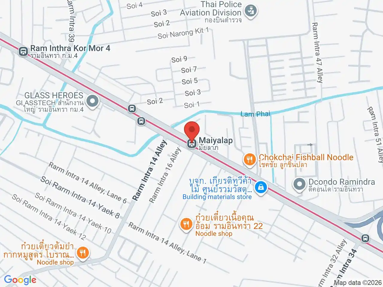
The district covers 42.123 km², divided between Anusawari (18.406 km²) and Tha Raeng (23.717 km²). The BTS–Pink Line interchange at Wat Phra Sri Mahathat is in Anusawari; the Pink Line then runs northeast through Tha Raeng, where stations such as Vacharaphol and Maiyalap serve different residential corridors. Bang Khen had 190,681 residents in 2017. The district is much smaller today than its earlier administrative predecessor: portions were separated to form Don Mueang and Chatuchak in 1989, then Sai Mai in 1997. It also received part of Chorakhe Bua from Lat Phrao during the latter reorganization.
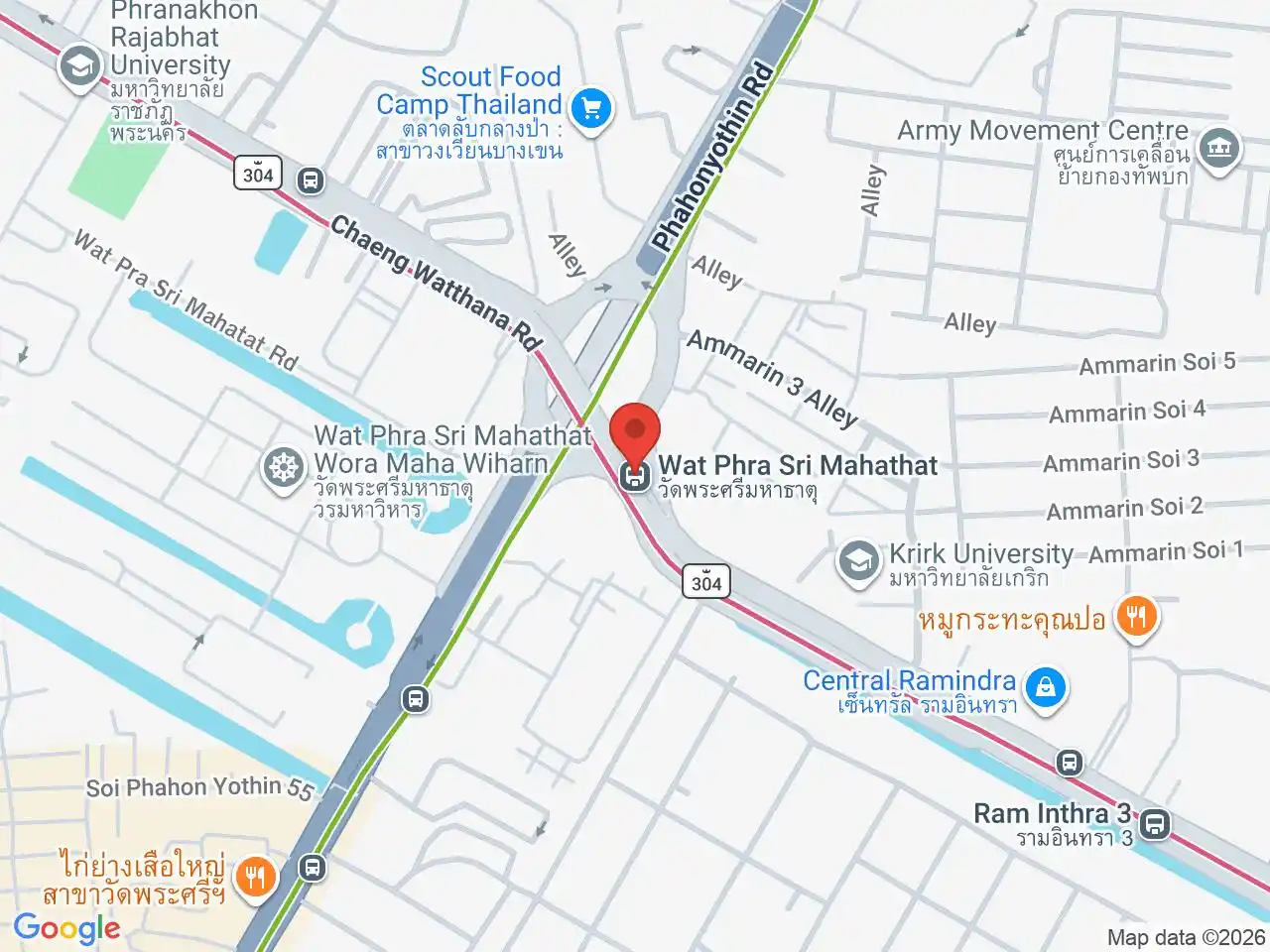
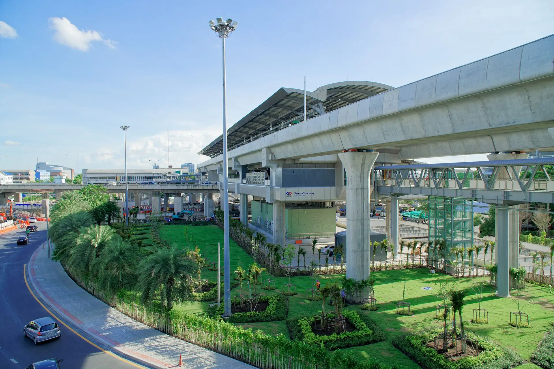
Wat Phra Sri Mahathat interchange
Wat Phra Sri Mahathat BTS and Wat Phra Sri Mahathat MRT connect the north-south Sukhumvit Line with the east-west Pink Line. Treat them as a transfer complex and follow the signs for the correct operator and direction.
Stations across the district
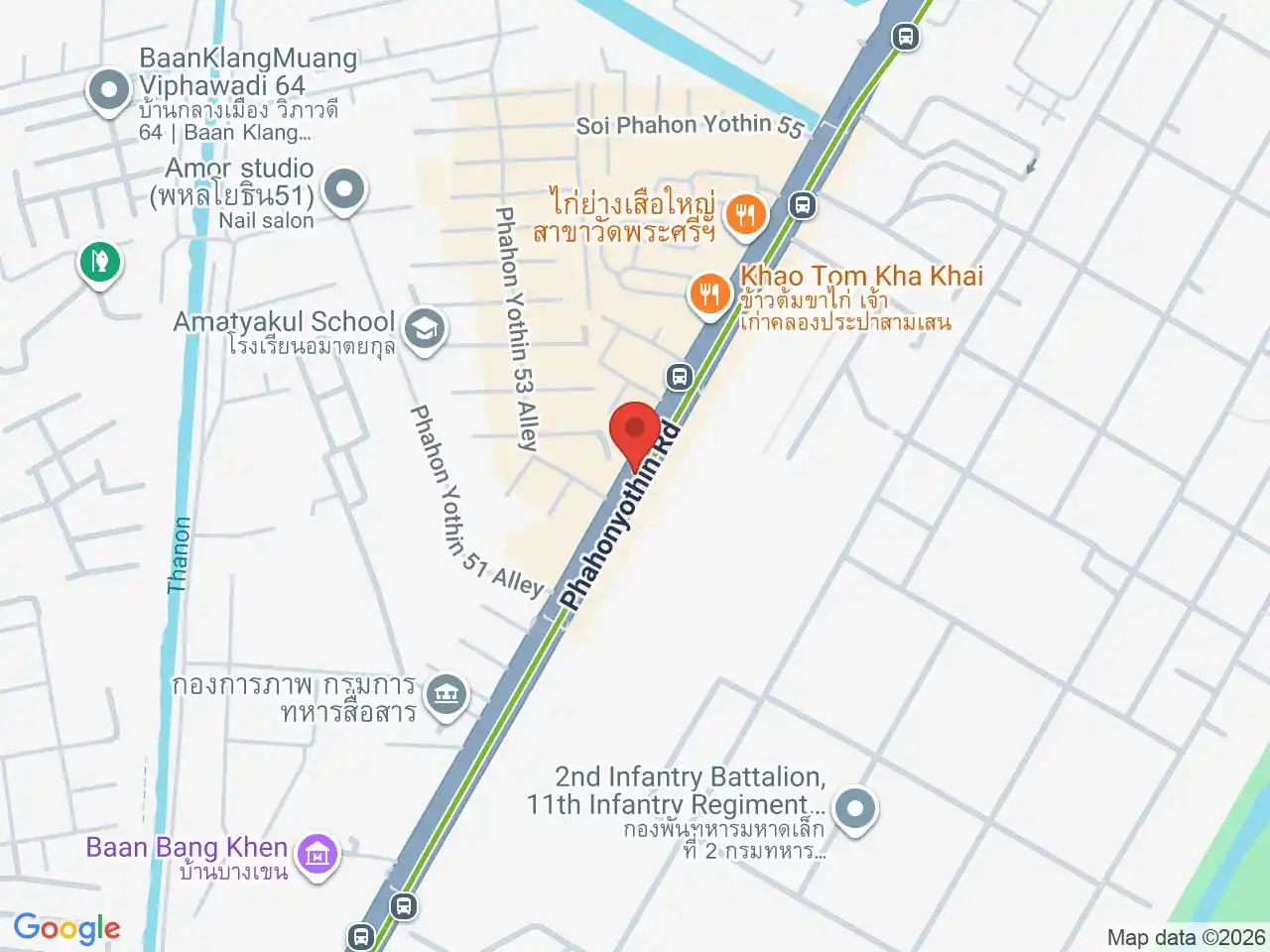
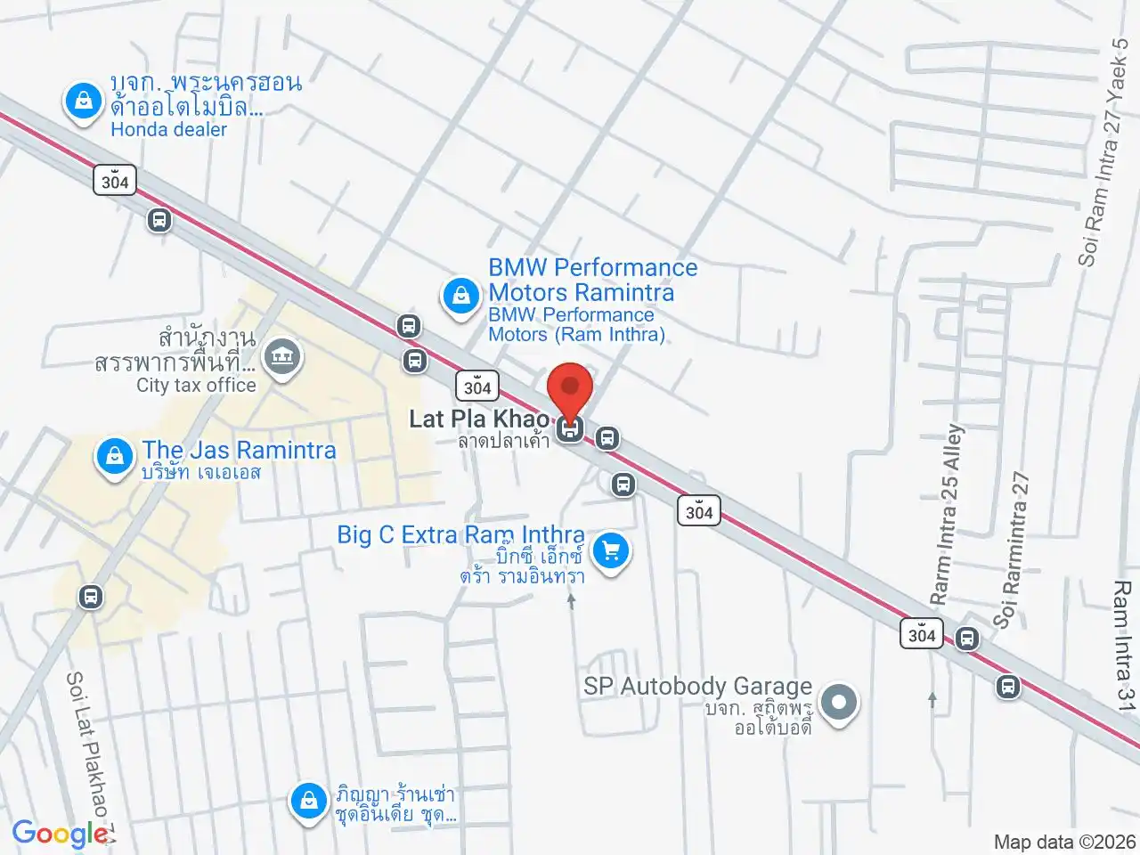
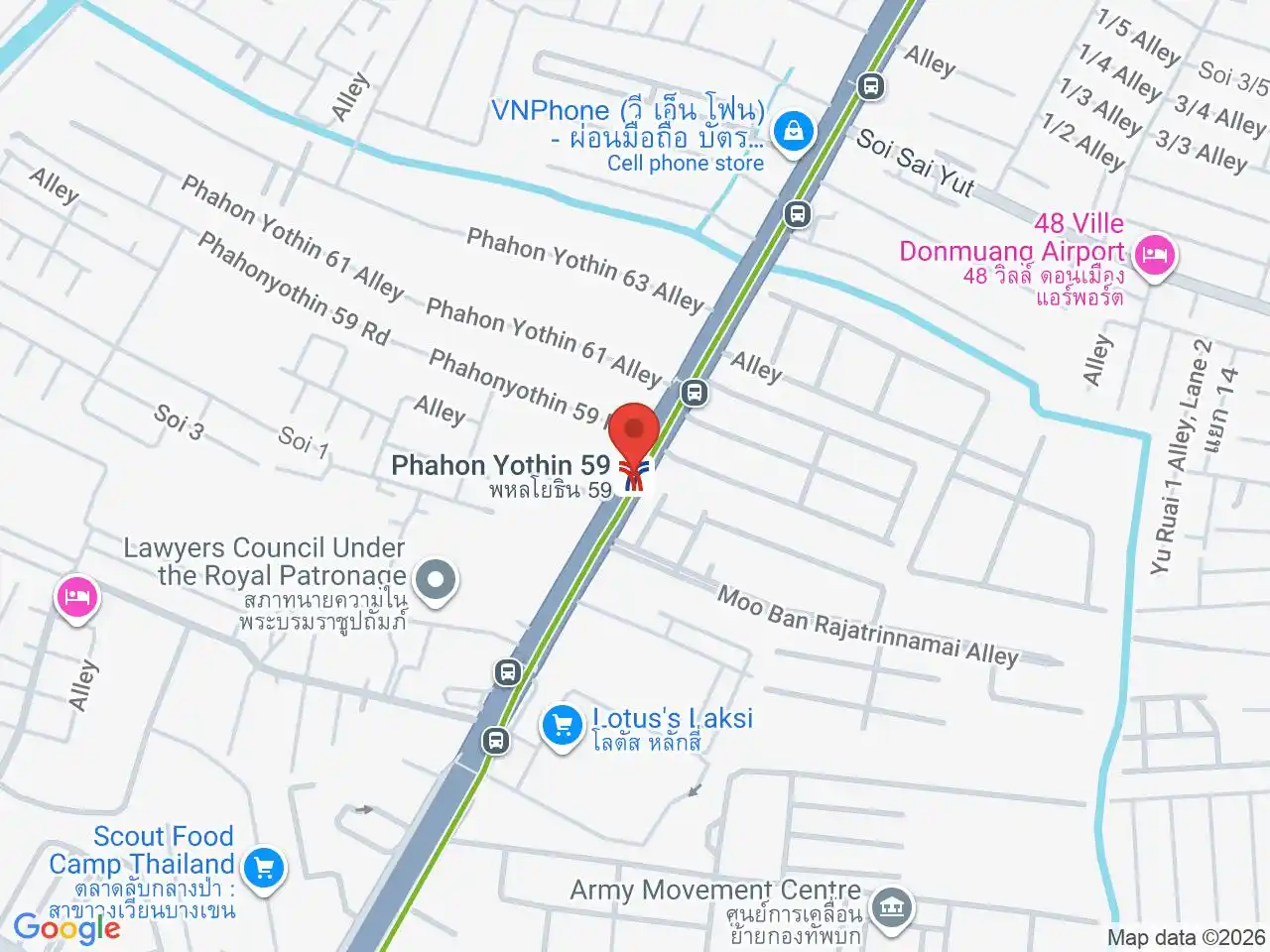
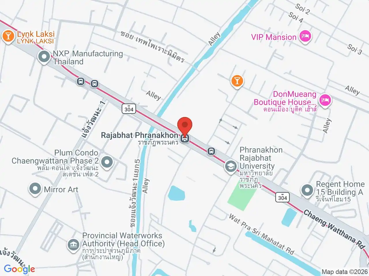
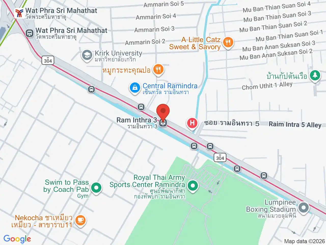
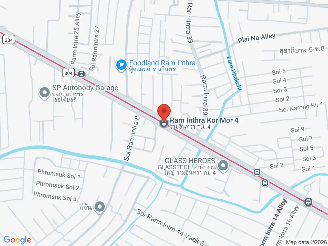
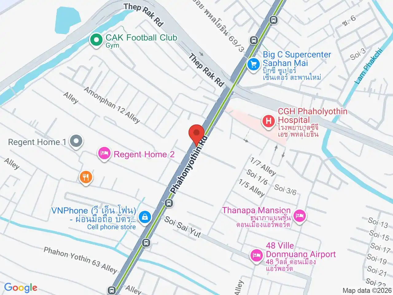
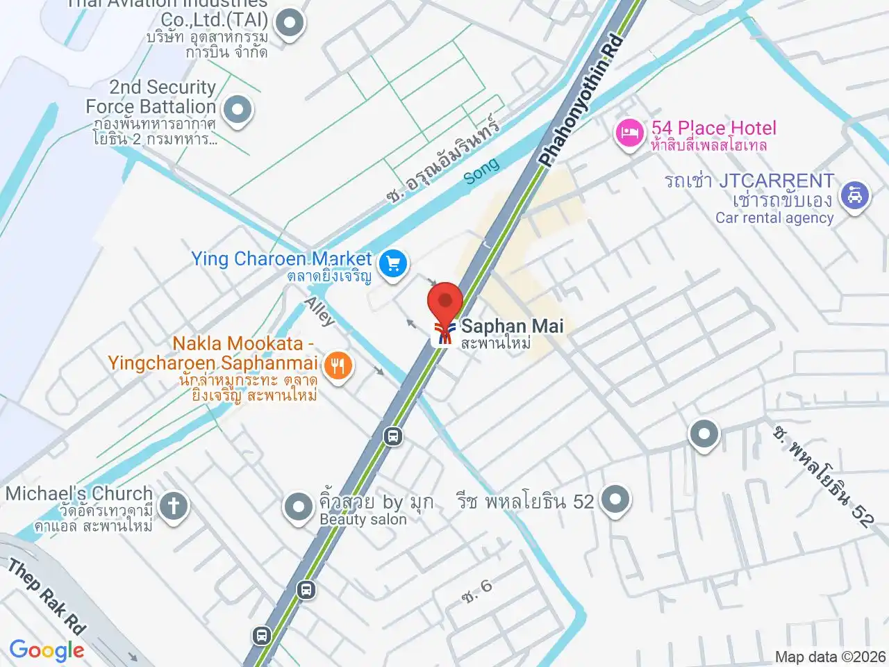
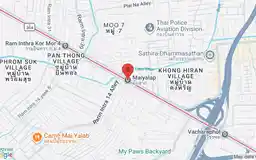
The BTS serves Phahonyothin through stations including 11th Infantry Regiment, Phahon Yothin 59, Sai Yud, and Saphan Mai. The Pink Line follows Ram Inthra through Rajabhat Phranakhon, Ram Inthra 3, Lat Pla Khao, Ram Inthra Kor Mor 4, and Maiyalap.
This coverage does not make every address walkable. A destination between corridors may still need a bus, taxi, or motorcycle taxi.
Character and daily life
Bang Khen works for residents, students, military and public-sector staff, and commuters whose routines are in north Bangkok. Markets and everyday services are spread along its road corridors, so the nearest station is only one part of choosing where to live, work, or stay.
Bang Khen was established as a district in 1897, when the northern plain known as Thung Bang Khen was largely farmland. The district’s transport landscape has changed substantially since then: the BTS now follows Phahonyothin, while the Pink Line crosses Ram Inthra and meets it at Wat Phra Sri Mahathat. The interchange improves access between these corridors but does not eliminate the last-mile gap for homes, campuses, and workplaces set back from them. The area also includes Wat Phra Si Mahathat, Ying Charoen Market, Phranakhon Rajabhat University, and the present Lumpinee Boxing Stadium. These are useful for day-to-day shopping, study, and events, but are spread across the district; choosing a station by district alone can still lead to an indirect trip.
One local explanation for the name Bang Khen traces it to Bang Ken, “place of pushing,” and a story about people pushing a grounded barge through shallow water. It is a folk etymology rather than a settled origin, but it fits the district’s older canal-and-farmland landscape. For present-day navigation, Wat Phra Si Mahathat is a useful fixed landmark beside the interchange.
Who should choose Bang Khen
For residents, students, and workers, Bang Khen’s fit depends on the exact home, campus, hospital, or workplace and its connection to the BTS, Pink Line, or local roads. Visitors with a northern-Bangkok destination can use the same corridors, while those focused on central sights may find a more central base simpler.
For more information on Bang Khen, visit the Wikipedia article on Bang Khen.
BTS/MRT Stations in Bang Khen
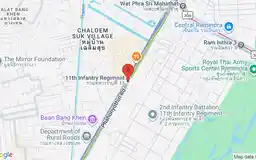
11th Infantry Regiment
กรมทหารราบที่ 11
Distinctive military district along northern Phahon Yothin.
Google Rating
92 reviews
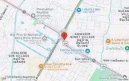
Wat Phra Sri Mahathat
วัดพระศรีมหาธาตุ
Landmark royal temple and Pink Line interchange.
Google Rating
37 reviews
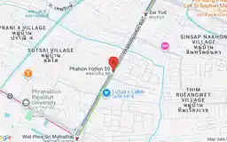
Phahon Yothin 59
พหลโยธิน 59
Local university, government, and residential neighborhood.
Google Rating
30 reviews
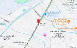
Google Rating
60 reviews
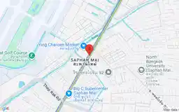
Saphan Mai
สะพานใหม่
Bustling traditional market and everyday neighborhood shopping.
Google Rating
39 reviews
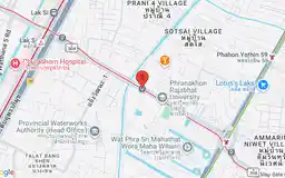
Rajabhat Phranakhon
ราชภัฏพระนคร
Phranakhon Rajabhat University and student community.
Google Rating
9 reviews
Google Rating
37 reviews
Google Rating
9 reviews
Google Rating
13 reviews
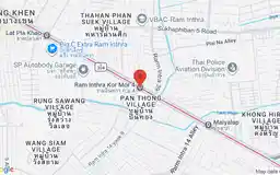
Ram Inthra Kor Mor 4
รามอินทรา กม.4
Residential Ram Inthra and everyday local dining.
Google Rating
6 reviews
Google Rating
19 reviews