Wikimedia Commons, CC BY-SA 3.0
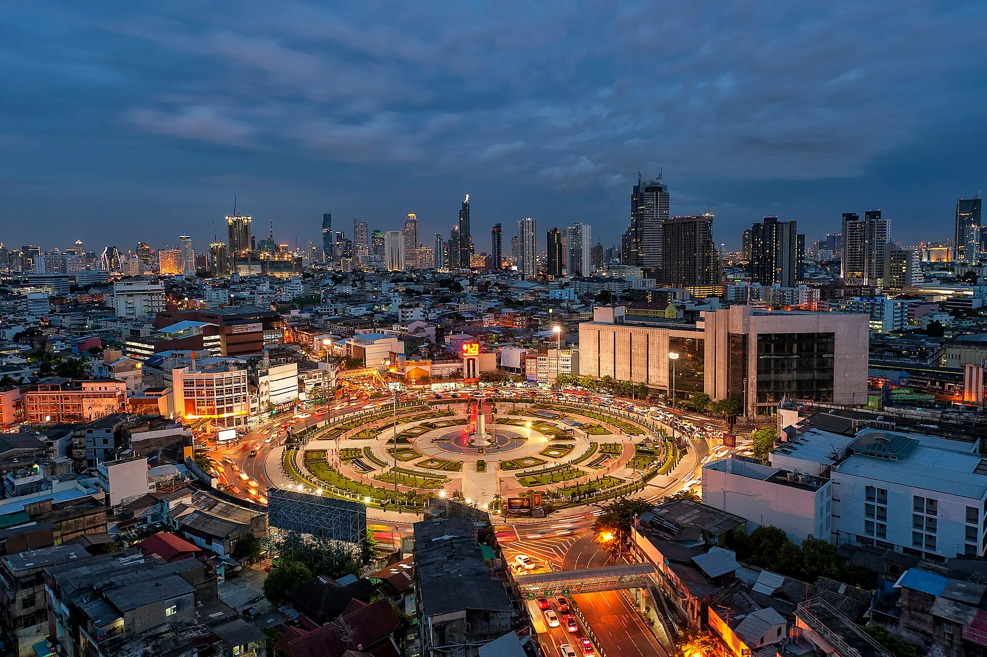
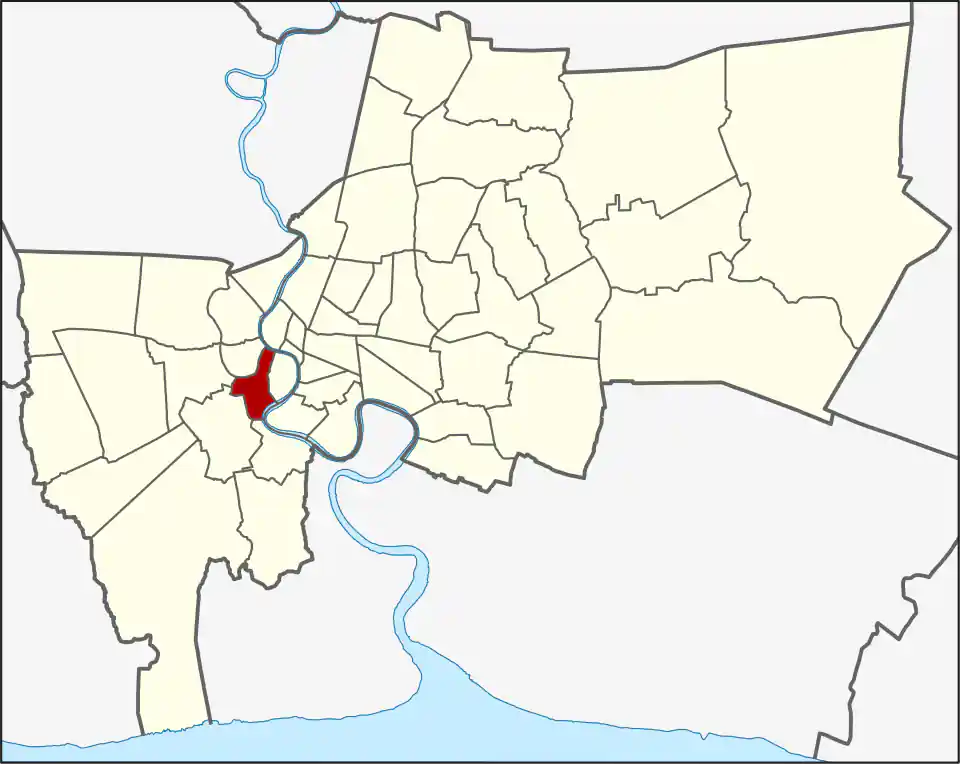
Thon Buri covers 8.551 square kilometres on the west bank of the Chao Phraya and had 109,482 registered residents in 2017. Its seven khwaeng are Wat Kanlaya, Hiran Ruchi, Bang Yi Ruea, Bukkhalo, Talat Phlu, Dao Khanong and Samre. This compact formal district should not be confused with “Thonburi,” the former province and everyday name for much of Bangkok west of the river.
From the river to Talat Phlu
The small Wat Kanlaya and Hiran Ruchi khwaeng contain old river and canal communities shaped by Thai, Chinese, Portuguese, Muslim and Mon settlement. Santa Cruz Church, Wat Kanlayanamit and Wat Prayurawongsawat belong to this historic side of the district. Farther south and west, Bang Yi Ruea, Talat Phlu, Bukkhalo, Samre and Dao Khanong form a denser landscape of shophouses, temples, markets, housing and main roads.
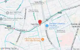
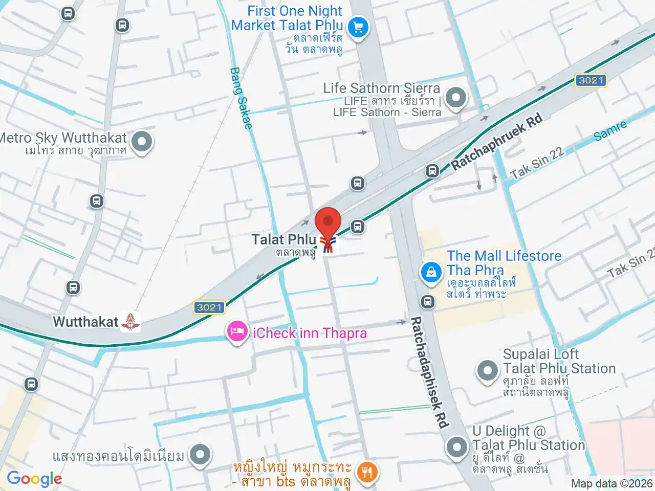
Wat Intharam Worawihan is closely associated with King Taksin. Talat Phlu Market is better understood as a food neighbourhood around Thoet Thai Road and the railway than as one enclosed market building. Talat Phlu BTS is roughly a kilometre from parts of the old food area, so the station name does not eliminate the local walk or ride.
Rail, shopping and healthcare
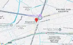
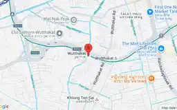
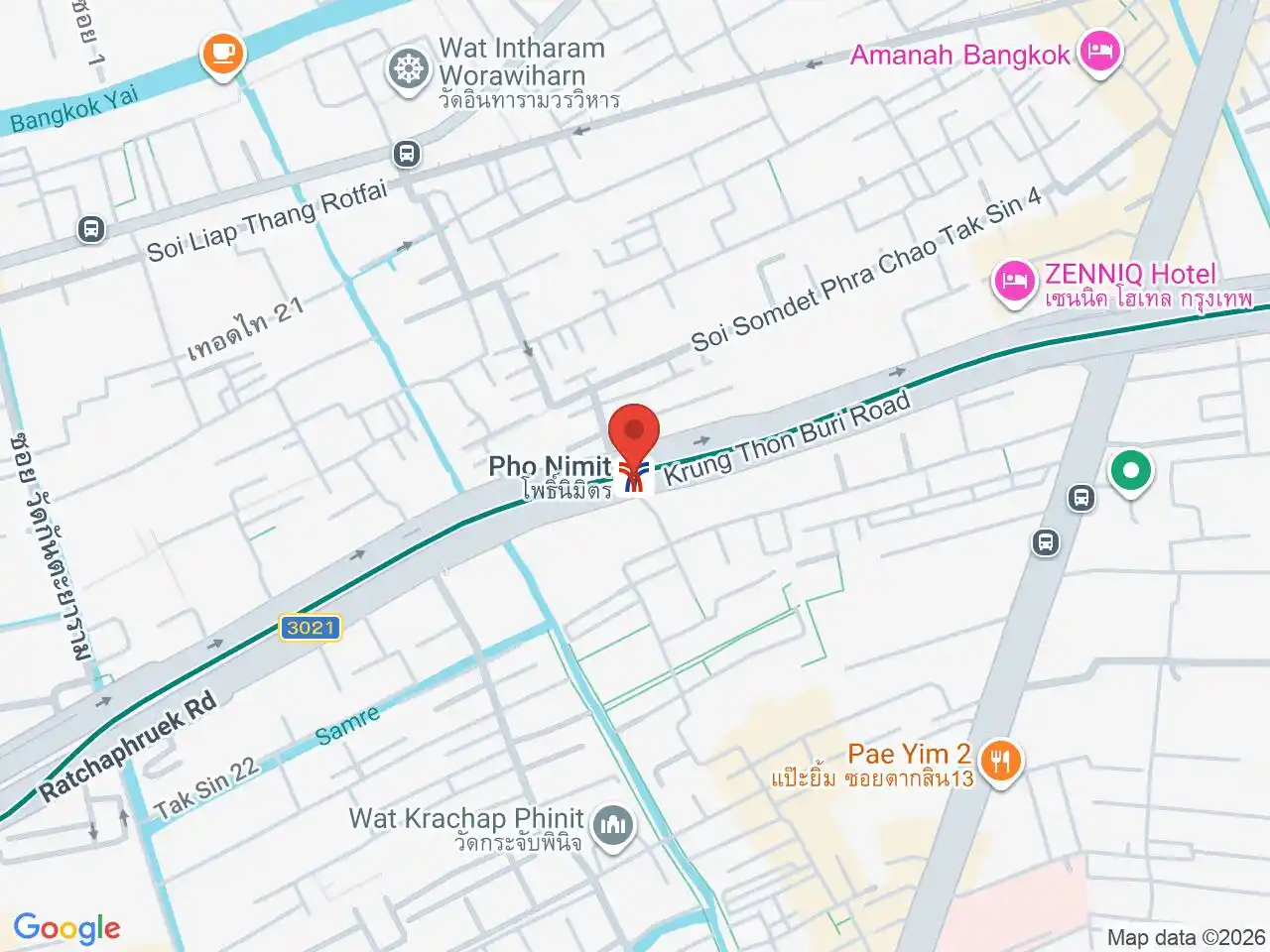
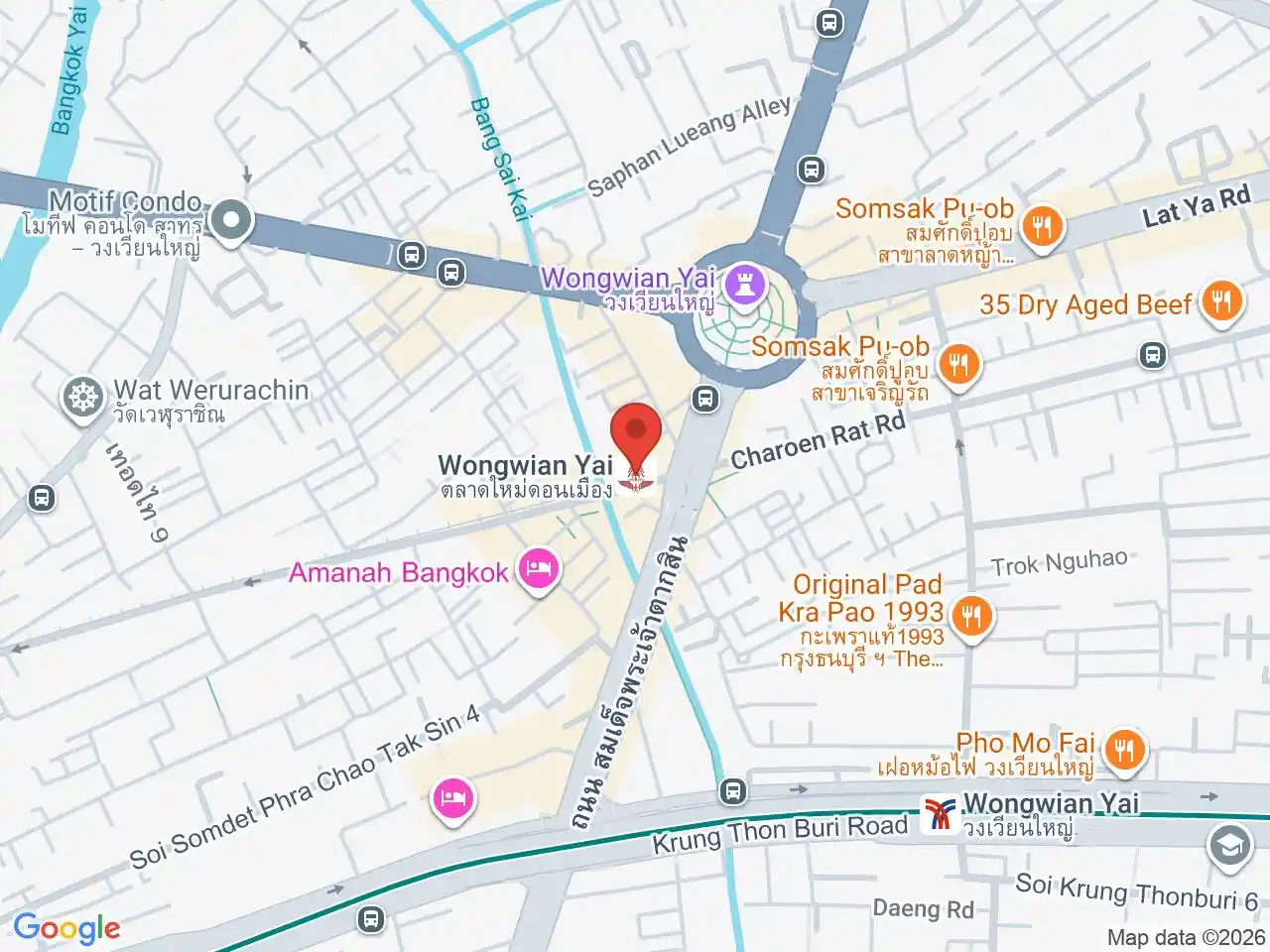
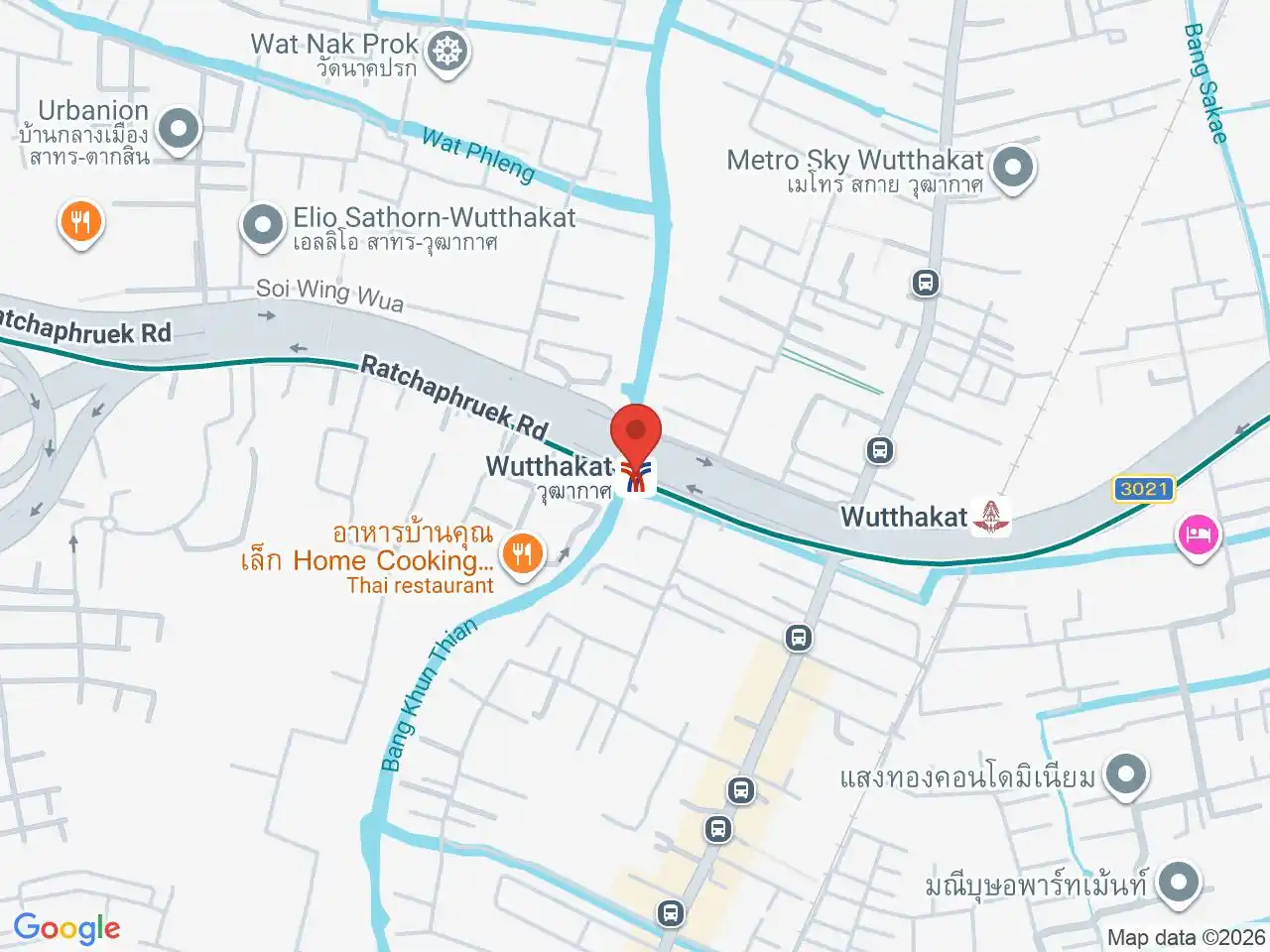
The Silom Line serves the district at Wongwian Yai, Pho Nimit, Talat Phlu and Wutthakat. Wongwian Yai BTS lies near the Khlong San boundary and is separate from the State Railway terminus. Check which system and entrance a route uses.
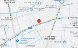
The Mall Lifestore Tha Phra is in Bukkhalo near Talat Phlu BTS, despite using the Tha Phra name associated with a neighbouring junction. Somdech Phra Pinklao Hospital is a Royal Thai Navy teaching hospital on Somdet Phrachao Taksin Road.
Thon Buri works well for residents who want west-bank neighbourhood life with direct BTS access. Visitors can combine a historic river stop or temple with Talat Phlu food, but should treat them as separate local clusters rather than one continuous walking route.
For more information on Thon Buri, visit the Wikipedia article on Thon Buri.
BTS Stations in Thon Buri
Google Rating
310 reviews
Google Rating
111 reviews
Talat Phlu
ตลาดพลู
Legendary street food, railway heritage, and old Bangkok atmosphere.
Google Rating
173 reviews
Google Rating
291 reviews
Shopping in Thon Buri
Talat Phlu Market
Google Rating
4,909 reviews
An old Thon Buri food neighbourhood around Thoet Thai Road and the local railway, known for long-running stalls and shophouses.
The Mall Lifestore Tha Phra
Google Rating
13,858 reviews
A major mall in Bukkhalo with department-store shopping, dining and entertainment near Talat Phlu BTS.
Attractions in Thon Buri
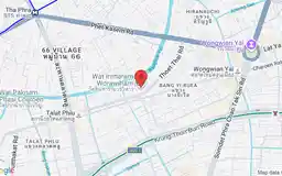
Wat Intharam Worawihan
Google Rating
2,342 reviews
A royal temple in Bang Yi Ruea closely associated with King Taksin and the history of the Thon Buri side.
Hospitals in Thon Buri
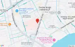
Somdech Phra Pinklao Hospital
Google Rating
746 reviews
A Royal Thai Navy teaching hospital on Somdet Phrachao Taksin Road in Bukkhalo.