Wikimedia Commons, CC BY-SA 3.0
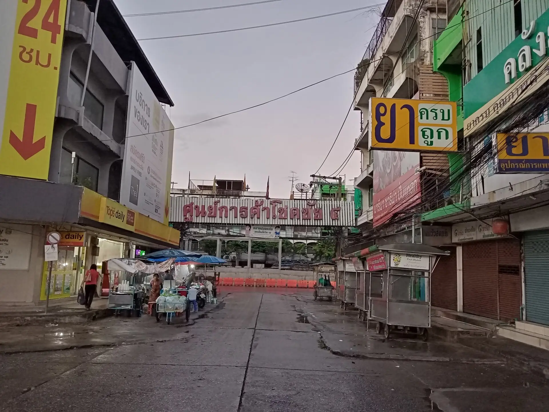
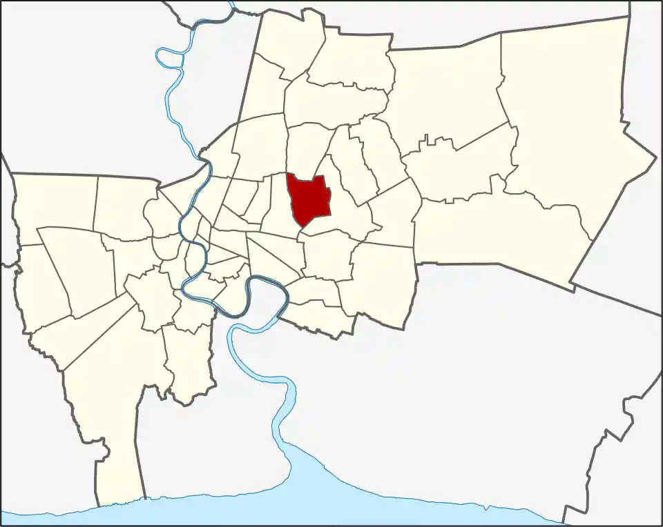
Wang Thonglang sits east of central Ratchadaphisek between the Lat Phrao and Ramkhamhaeng corridors. Dense housing, offices, schools, restaurants, event businesses, and local shopping fill long sois and connecting roads. The district is central on a map but not uniformly easy by rail.
Naming and boundaries
Addresses marketed as Lat Phrao, Town in Town, Ramkhamhaeng, or Ratchada may fall inside or beside Wang Thonglang. Those names describe practical areas and roads, not one transport zone. Check the formal district only when it helps; for travel, use the exact road and soi.
Transport
There is no BTS or MRT station inside the district in the current WhyBangkok transport network. Yellow and Blue Line stations in adjoining districts can help, but the first or final leg normally uses a bus, taxi, motorcycle taxi, or private vehicle.
Peak-hour congestion on Lat Phrao, Ramkhamhaeng, and local connector roads can make a short cross-city distance slow. Compare a road trip with a road-to-rail combination.
Character and daily life
Wang Thonglang is useful for residents whose work, school, and social routines are in east-central Bangkok. It offers local food and services without relying on a tourist centre, but pedestrian conditions and station access vary by soi.
Who should choose it
Choose Wang Thonglang for a specific home, school, office, restaurant, or event. Visitors without a named destination will usually find Rama IX, Sukhumvit, or another rail-linked area easier to navigate.
For more information on Wang Thonglang, visit the Wikipedia article on Wang Thonglang.