Wikimedia Commons, CC BY-SA 3.0
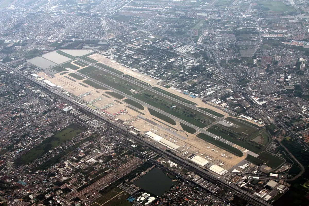
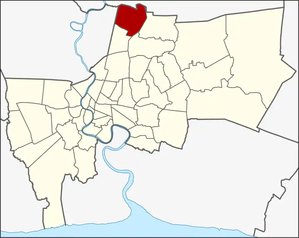
Don Mueang district contains Don Mueang International Airport; use the airport guide for terminal and transfer planning. The airport is in Sanambin (สนามบิน), whose Thai name means “airport” or “airfield”; the district’s other two khwaeng are Si Kan (11.534 km²) and Don Mueang (10.605 km²). Sanambin is also the largest subdistrict by area at 14.664 km². That distinction matters when reading an address: Don Mueang is both the district name and one subdistrict name, while the passenger terminals sit in Sanambin. The district covers 36.803 km² and had 168,973 residents in 2017, a dated administrative count rather than a current estimate.
Don Mueang was once part of Bang Khen and became a separate district in 1989; Lak Si was formed from its southern part in 1997. The area was formerly called Don I Yiao, often translated as “upland of hawks,” and was accessible mainly by rail when only a small settlement stood near the present airport. Its modern identity developed around the Royal Thai Air Force base and airport. The passenger terminal, air force base, and Royal Thai Air Force Museum are distinct destinations in Don Mueang, so use the actual terminal or venue as the route pin rather than “Don Mueang” alone.
Don Mueang Airport
Use the airline and terminal shown on the booking. The SRT Red Line stops at Don Mueang; Airport Rail Link serves Suvarnabhumi, not this airport. See the Bangkok airports guide for transfer options and allow time to reach the terminal from your chosen station or road drop-off.
Road taxis and booked cars remain useful, while rail options depend on the destination and luggage. Allow time for terminal access rather than using the district centre as the route pin.
The nearby Yaek Kor Por Aor BTS stop and Bhumibol Adulyadej Hospital are in neighbouring Sai Mai; the Royal Thai Air Force Museum is in Don Mueang. Local school options include Don Mueang Taharnargardbumrung School in Si Kan and Don Mueang Chaturachinda School in Don Mueang khwaeng. Happy Avenue Don Mueang is a local shopping centre on Song Prapha Road. Don Mueang’s broad residential and service areas extend well beyond the airport. For residents, the district’s airport, Red Line, schools, and road corridors serve different work and commute patterns; for visitors, an airport-area stay is useful for a flight or a northern-Bangkok destination but less convenient for a central sightseeing itinerary. In either case, route to the named address rather than the district label.
For more information on Don Mueang, visit the Wikipedia article on Don Mueang.
Shopping in Don Mueang
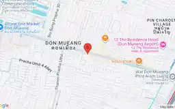
Happy Avenue Don Mueang
Google Rating
1,083 reviews
A neighbourhood shopping centre on Song Prapha Road serving the residential communities of Don Mueang.
Attractions in Don Mueang
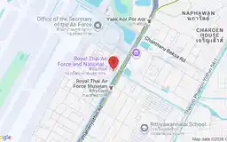
Royal Thai Air Force Museum
Google Rating
2,827 reviews
Aviation museum in Don Mueang with aircraft and exhibits on the history of Thailand's air force.
Schools in Don Mueang
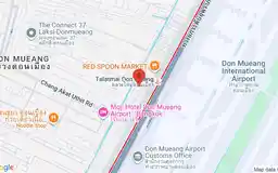
A local school in Don Mueang subdistrict, within the wider Don Mueang district.
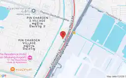
A local school in Si Kan, one of Don Mueang district's three subdistricts.
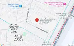
A British boarding and day school in Don Mueang offering education from Early Years through Sixth Form.