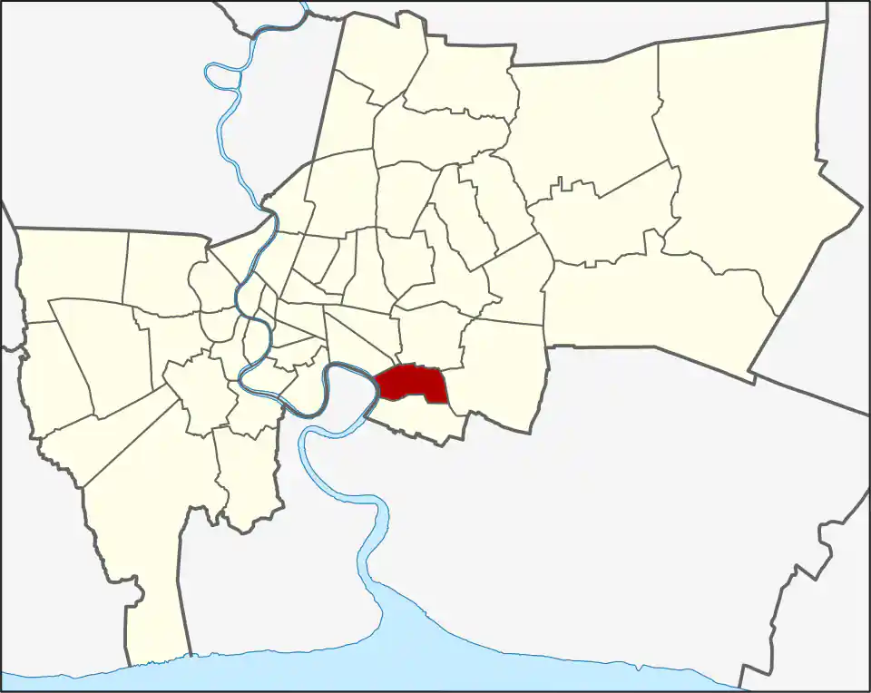
Wikimedia Commons, CC BY-SA 3.0
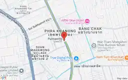
Phra Khanong covers 13.986 square kilometres and had 90,354 registered residents in 2017. Its two khwaeng are Bang Chak and Phra Khanong Tai. The familiar Phra Khanong neighbourhood and Phra Khanong BTS station sit farther inbound around the Watthana-Khlong Toei boundary, making this one of Bangkok’s most confusing place names.
That distinction matters for accommodation, deliveries, official addresses, and commute planning. Do not assume that a place in Phra Khanong district is close to Phra Khanong BTS.
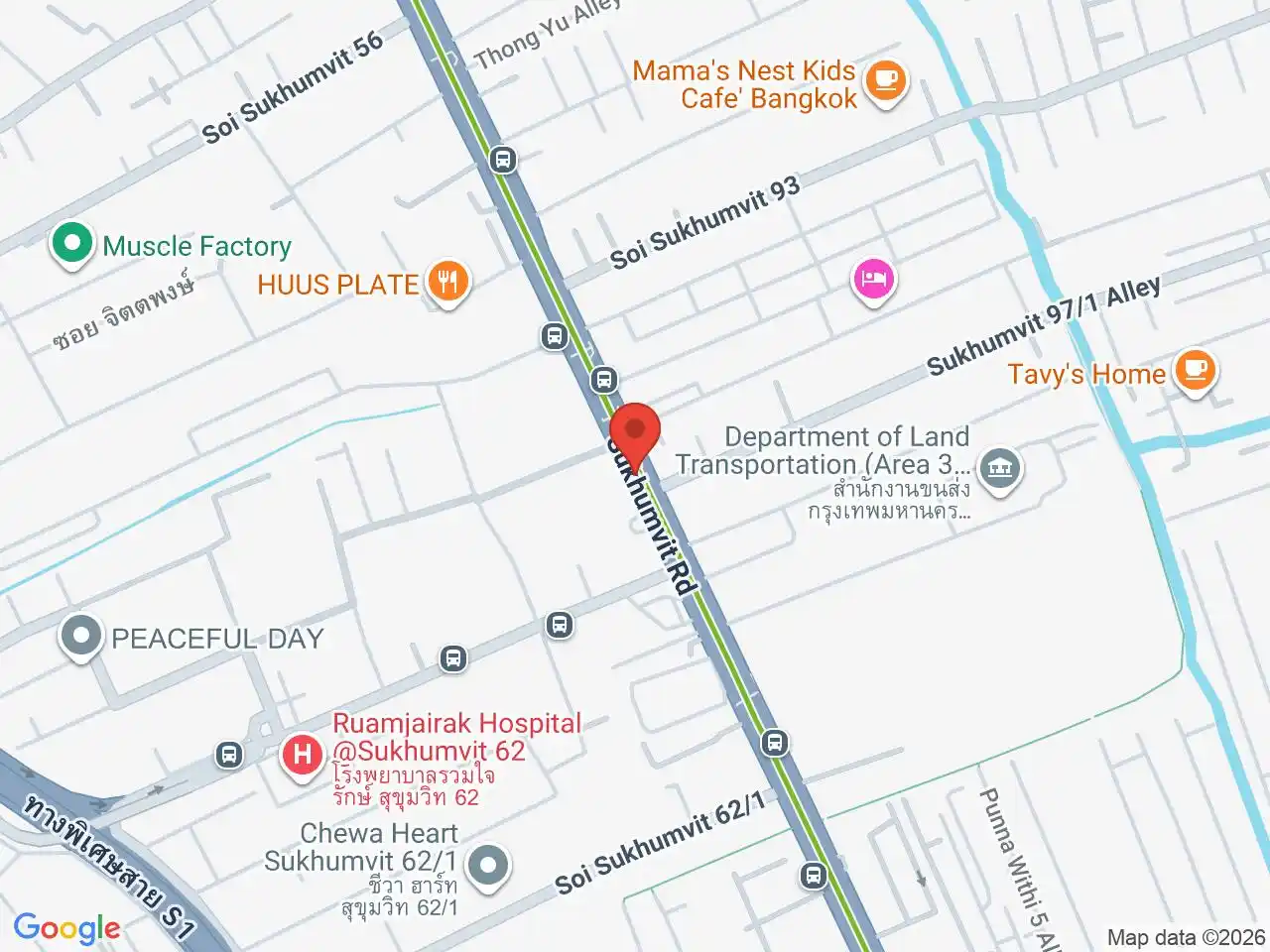
Bang Chak and Punnawithi
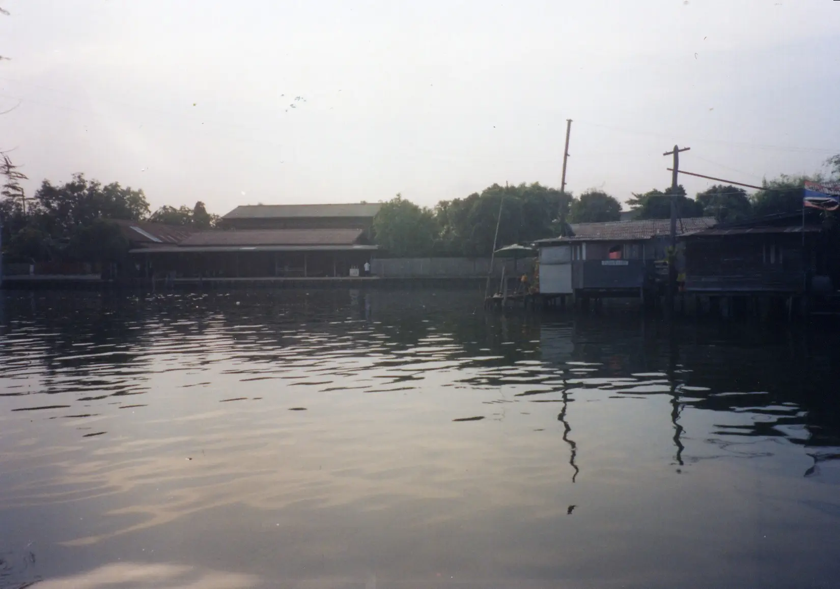
Bang Chak is the larger khwaeng at 8.815 square kilometres. It includes a mainly residential BTS area with condos, local food, schools, offices and quieter sois extending away from Sukhumvit Road. Phra Khanong Tai covers 5.171 square kilometres farther south toward the river and is more road-dependent.
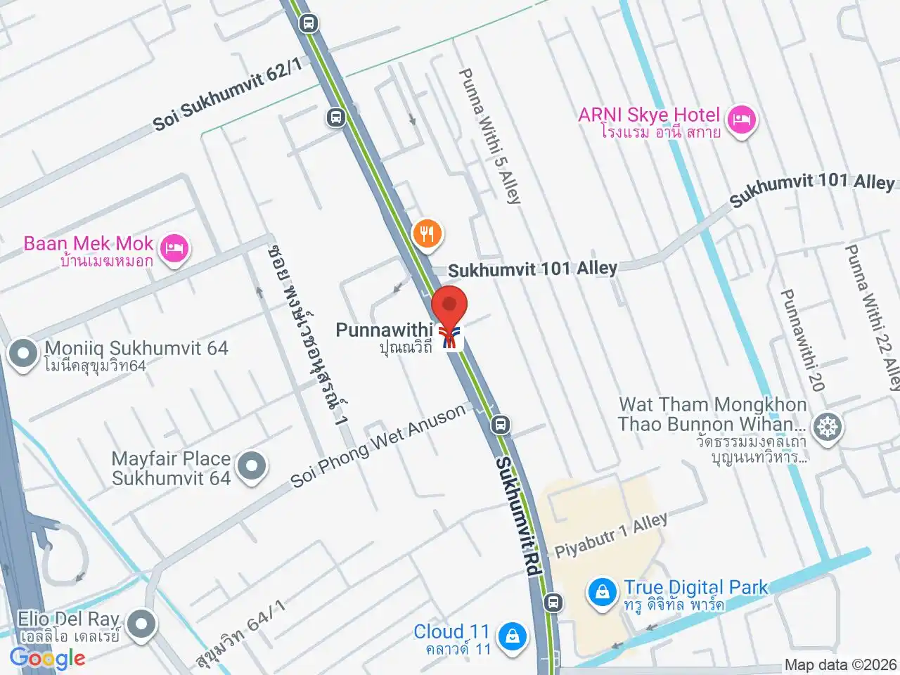
Punnawithi has grown around newer offices, residential buildings, and the Sukhumvit 101 corridor. Punnawithi BTS is the clearest rail gateway for True Digital Park and nearby workplaces, although destinations deeper inside the sois may need a shuttle or road transfer.
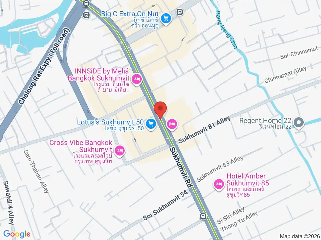
On Nut is another useful practical area near the district’s northern edge. Its everyday footprint crosses administrative boundaries, so check whether an address is actually in Phra Khanong, Suan Luang, or a neighbouring district.
The district was once much larger: Khlong Toei, Watthana, Prawet, Suan Luang and Bang Na were all split from it. The Mae Nak shrine at Wat Mahabut is another naming trap; a later boundary change placed the temple in Suan Luang, despite its lasting association with Phra Khanong.
Transport
The BTS Sukhumvit Line is the district’s main central connection. Bang Chak BTS and Punnawithi run west toward On Nut, Asok, and Siam and east toward Udom Suk, Bang Na, and Samut Prakan.
Rail access is strongest along Sukhumvit Road. The district extends south through long residential streets and across roads that are less convenient on foot. For a home or appointment away from the stations, calculate the last mile and evening return rather than relying on the district name.
The separate Phra Khanong neighbourhood
Phra Khanong BTS serves the neighbourhood commonly associated with W District, condos, cafes, food, and local nightlife. That neighbourhood remains useful to readers, but it should not define this administrative district page.
Use the area guide for choosing a hotel, restaurant, or home around the named station. Use this page for the district map, Bang Chak and Punnawithi context, and official geography.
Staying or living in the district
Phra Khanong district suits residents who want outer-Sukhumvit BTS access, local services, and potentially better value than central Watthana. It also suits people working around Sukhumvit 101, Bang Na, or the eastern business corridors.
The tradeoffs are long sois, road-dependent last miles, fewer visitor attractions, and frequent confusion in property listings. Verify the station, subdistrict, and actual commute before treating “Phra Khanong” as one interchangeable location.
For more information on Phra Khanong, visit the Wikipedia article on Phra Khanong.
Areas in Phra Khanong
These area guides explain the practical neighbourhoods and local names within Phra Khanong.
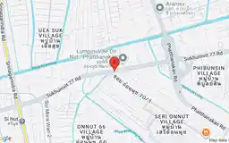
On Nut is a popular residential area offering better value than central Sukhumvit, with condos, local food, and growing expat appeal.
BTS Stations in Phra Khanong
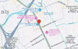
Google Rating
385 reviews
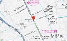
Google Rating
122 reviews
Google Rating
193 reviews