Wikimedia Commons, CC BY-SA 3.0
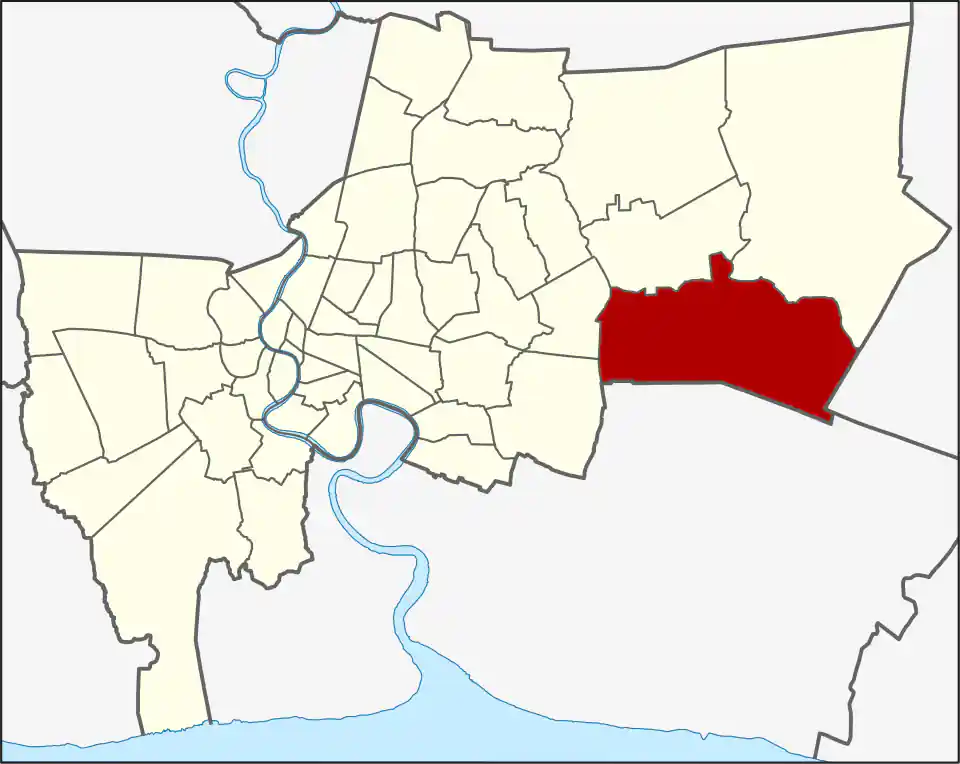
Lat Krabang covers 123.859 km² on Bangkok’s eastern edge, making it the city’s second-largest district by area. Its six khwaeng are Lat Krabang, Khlong Song Ton Nun, Khlong Sam Prawet, Lam Pla Thio, Thap Yao and Khum Thong. Lam Pla Thio is the largest at 33.752 km²; the Lat Krabang khwaeng itself covers only 10.823 km². The district had 173,987 residents in 2017, a dated administrative count that helps show how spread out it is.
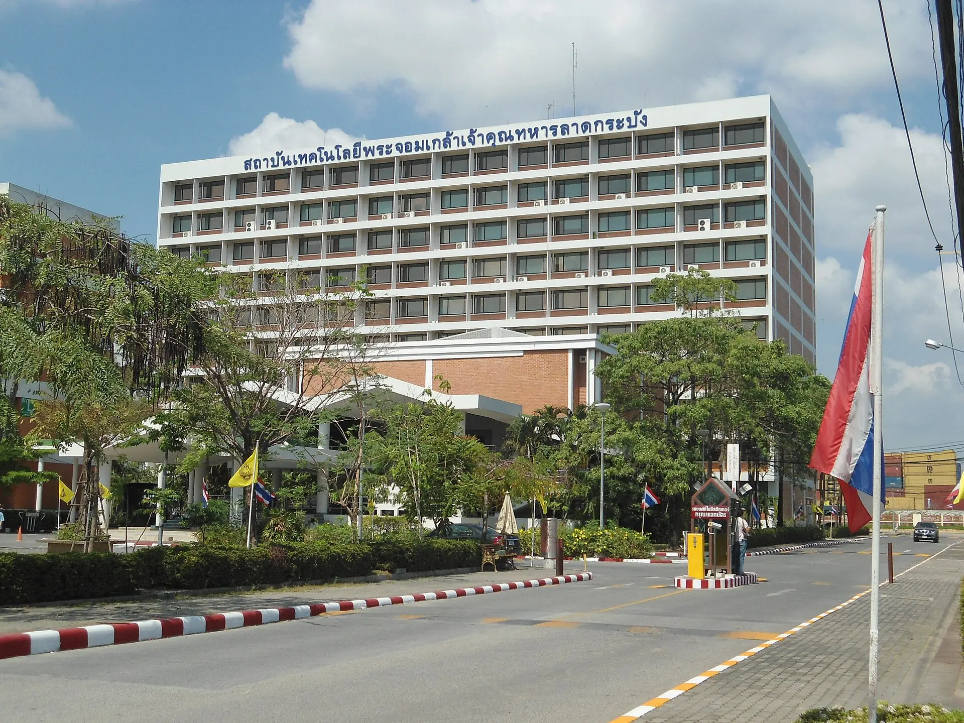
The district contains King Mongkut’s Institute of Technology Ladkrabang, industrial and logistics employment, warehouses, housing, markets and airport-support businesses. It also retains farmland, canals and older communities, especially away from the main airport and industrial corridors. Khlong Prawet Burirom remains an important east-west geographical reference, while Hua Takhe is a named canal-side community near the university and local railway.
Airport location and access
Suvarnabhumi’s terminals are in neighbouring Bang Phli district, Samut Prakan, not inside Lat Krabang or Bangkok. An airport-area address can still be a long road journey from departures, especially when it sits on the wrong side of the airport perimeter.
Use the Suvarnabhumi Airport guide for terminal travel. Confirm whether a hotel provides a real shuttle, how often it runs, and which terminal door it serves.
Rail and local journeys
The Airport Rail Link serves the district at Lat Krabang station, one stop before Suvarnabhumi. State Railway services also use the eastern corridor, including stops serving Lat Krabang and Hua Takhe. Neither system makes this very large district walkable; campuses, factories, housing and airport facilities often need an onward road connection.
Character and daily life
Lat Krabang works for students, airport and logistics staff, industrial employment and residents with eastern routines. Its older canal settlements and agricultural land sit beside fast-changing development and heavy road infrastructure. A campus, factory or housing estate may share the district label while using a completely different access road, so route to the named entrance rather than the district centre.
Lat Krabang began as part of Min Buri province and was known as San Saep district before taking its present name in 1927. The meaning of “Lat Krabang” is uncertain; one explanation connects it with fields and a traditional fishing device. That ambiguity is less useful for travel than the six khwaeng, which show whether an address sits near the airport edge, university, industrial estate or more rural eastern side.
Who should stay here
Choose Lat Krabang for a flight, campus, workplace, or specific east-Bangkok destination. For a multi-day central Bangkok visit, an airport-area room usually trades city convenience for one easier airport leg.
For more information on Lat Krabang, visit the Wikipedia article on Lat Krabang.
ARL Stations in Lat Krabang
Lat Krabang
ลาดกระบัง
Airport-area district, KMITL access, and local road connections.
Station map
ARL A2 · Lat Krabang
Local map not available yet
Attractions in Lat Krabang
Hua Takhe Old Market
Google Rating
1,823 reviews
A century-old canal-side market community in Lat Krabang with wooden buildings, small cafés and a slower local atmosphere.
Colleges and universities in Lat Krabang
King Mongkut's Institute of Technology Ladkrabang (KMITL)
Google Rating
1,480 reviews
A major public technical institute in Lat Krabang with programmes in engineering, technology, architecture, science and design.