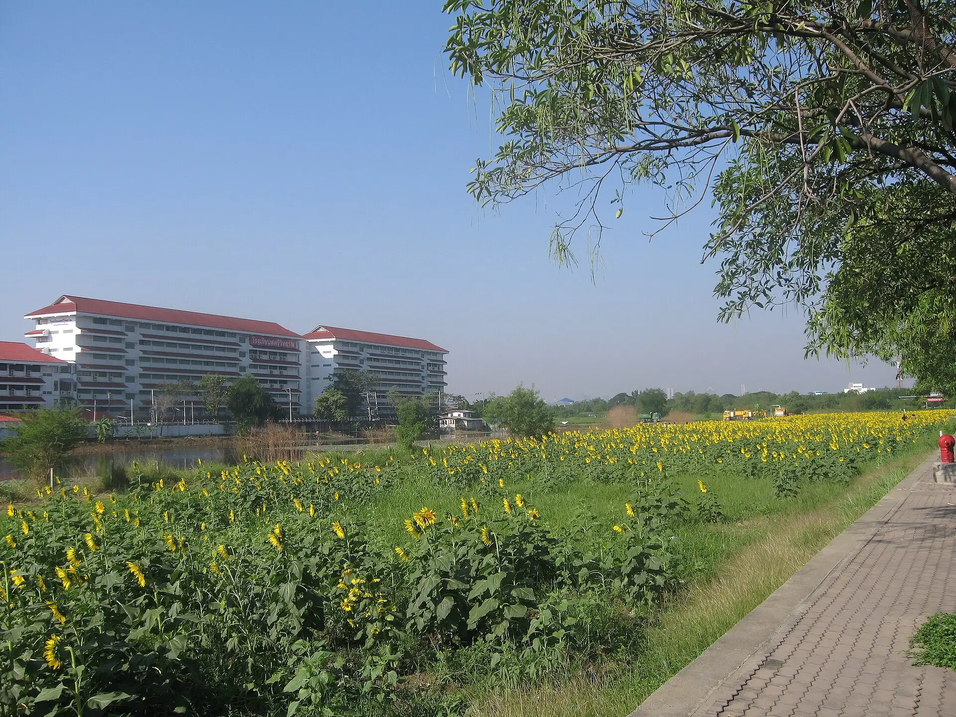
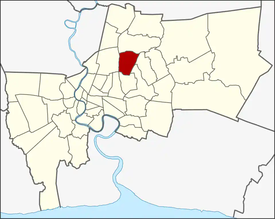
Wikimedia Commons, CC BY-SA 3.0
Lat Phrao is both a formal district and a much broader name used for Lat Phrao Road, nearby junctions, housing, shopping and nightlife across several districts. The official district covers 22.157 km² in two khwaeng: Lat Phrao (15.102 km²) and Chorakhe Bua (7.055 km²). It had 120,394 residents in 2017, a dated administrative count.
The district lies mainly north of Lat Phrao Road around corridors such as Lat Phrao Wang Hin, Nak Niwat and parts of Pradit Manutham. The road bearing its name runs along other districts to the south, so many places marketed as Lat Phrao are actually in Chatuchak, Huai Khwang, Wang Thonglang or Bang Kapi. The name alone is therefore a poor guide to the nearest station or daily route.
Rail names outside the district
Chok Chai 4 MRT and Lat Phrao 71 MRT are in Wang Thonglang district, not Lat Phrao. They can still be useful for destinations near the southern edge, but usually leave a road connection into the formal district.
The Yellow Line’s station called Lat Phrao is at the Blue Line interchange in Chatuchak. Ha Yaek Lat Phrao BTS, Central Ladprao and several hotels using the Lat Phrao name are also on the Chatuchak side. Use the district, road and station together when checking an address; a shared name does not make them the same place.
Character and daily life
The district is mainly residential, with markets, schools, clinics, restaurants, offices and long sois. It was separated from Bang Kapi in 1989, then lost territory during the 1997 reorganisation that created and adjusted several northeast-Bangkok districts. Those boundary changes help explain why familiar local names extend beyond today’s map.
For travel, buses, taxis, motorcycles and private vehicles handle much of the last mile. Nearby rail can improve the cross-city section, but the useful station depends on the address and may sit in another district. Check the full soi and which main road it reaches before judging a commute.
Who Lat Phrao suits
Lat Phrao suits residents whose work, school and social life follow the Lat Phrao, Ram Inthra and northeast-Bangkok road network. Visitors should choose a hotel only after confirming its formal district, station and final road leg. A property using “Lat Phrao” in its name may be well outside this district, while a home inside the district may not be close to any station carrying the name.
For more information on Lat Phrao, visit the Wikipedia article on Lat Phrao.
Restaurants in Lat Phrao
Restaurant Listings
Sorted by Google rating, then review count. Confirm opening hours and booking rules before you go.
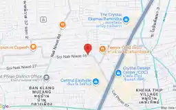
MAMA YAYA
Southern Thai restaurant in Bangkok, recommended in the Michelin Guide.
Google Rating
264 reviews
Shopping in Lat Phrao
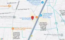
Central EastVille
Google Rating
18,057 reviews
An open-air-influenced lifestyle mall on Pradit Manutham Road with dining, shopping and pet-friendly spaces.
Hospitals in Lat Phrao
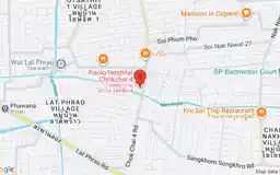
Paolo Hospital Chokchai 4
Google Rating
3,435 reviews
A private general hospital on Chok Chai 4 Road serving Lat Phrao and nearby northeast Bangkok neighbourhoods.