Wikimedia Commons, CC BY-SA 3.0
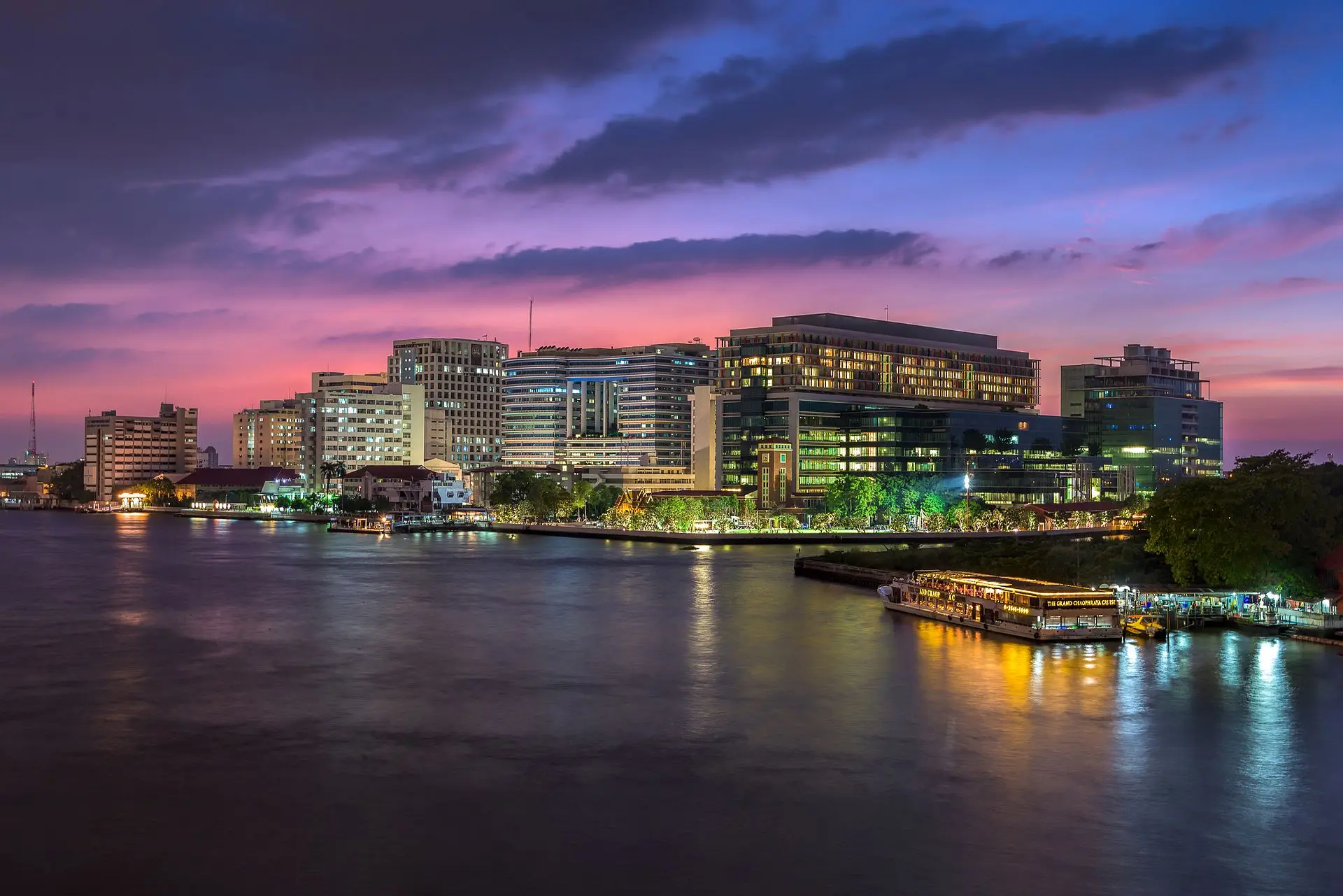
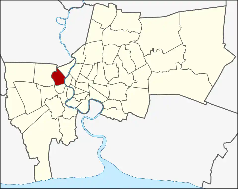
Bangkok Noi joins the Chao Phraya riverfront around Siriraj with older Thonburi neighbourhoods farther west. Its five khwaeng are Siri Rat, Ban Chang Lo, Bang Khun Non, Bang Khun Si, and Arun Amarin, spanning 11.944 km². Bang Khun Si is the largest by area at 4.360 km², while Siri Rat covers 1.258 km². These boundaries help residents, patients, and visitors distinguish addresses with very different river, road, and rail access. The key practical difference is whether a home, workplace, hospital appointment, or day out is by the river or along the Blue Line; the routes are not interchangeable.
Bangkok Noi’s boundaries changed as Bangkok expanded. It was established as a district in 1915 under the name Ammarin, renamed Bangkok Noi the following year, and became part of the combined Bangkok administration in 1972. Bang Phlat was carved out in 1989, then a small area returned in 1991 to create Arun Amarin. The district had 112,046 residents in 2017, a dated population snapshot. The five khwaeng also contain very different reference points: Siri Rat includes Siriraj Hospital and Wang Lang, while the name Ban Chang Lo means “village of casters,” recalling the area’s historic Buddha-image foundries. That workshop history helps explain why Bangkok Noi is more than the hospital-and-market riverfront; residential streets and canal corridors continue west from it.
Siriraj and Wang Lang
Siriraj is a major medical destination with heavy daily traffic. Wang Lang Market and nearby ferry piers add food, shopping, and old-town connections across the river. If the hospital is the destination, use the specific building or gate rather than treating “Siriraj” as one entrance.
For residents, Siriraj Hospital and Wang Lang Market bring daily activity to this riverfront. For appointments, check the Siriraj Hospital page and use the hospital guide to choose the right building or gate; for visitors, a river crossing may make an old-town journey more direct than a road loop. Check the pier and final walking route separately from MRT directions.
MRT and local transport
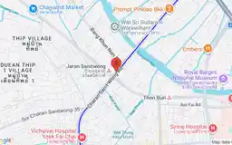
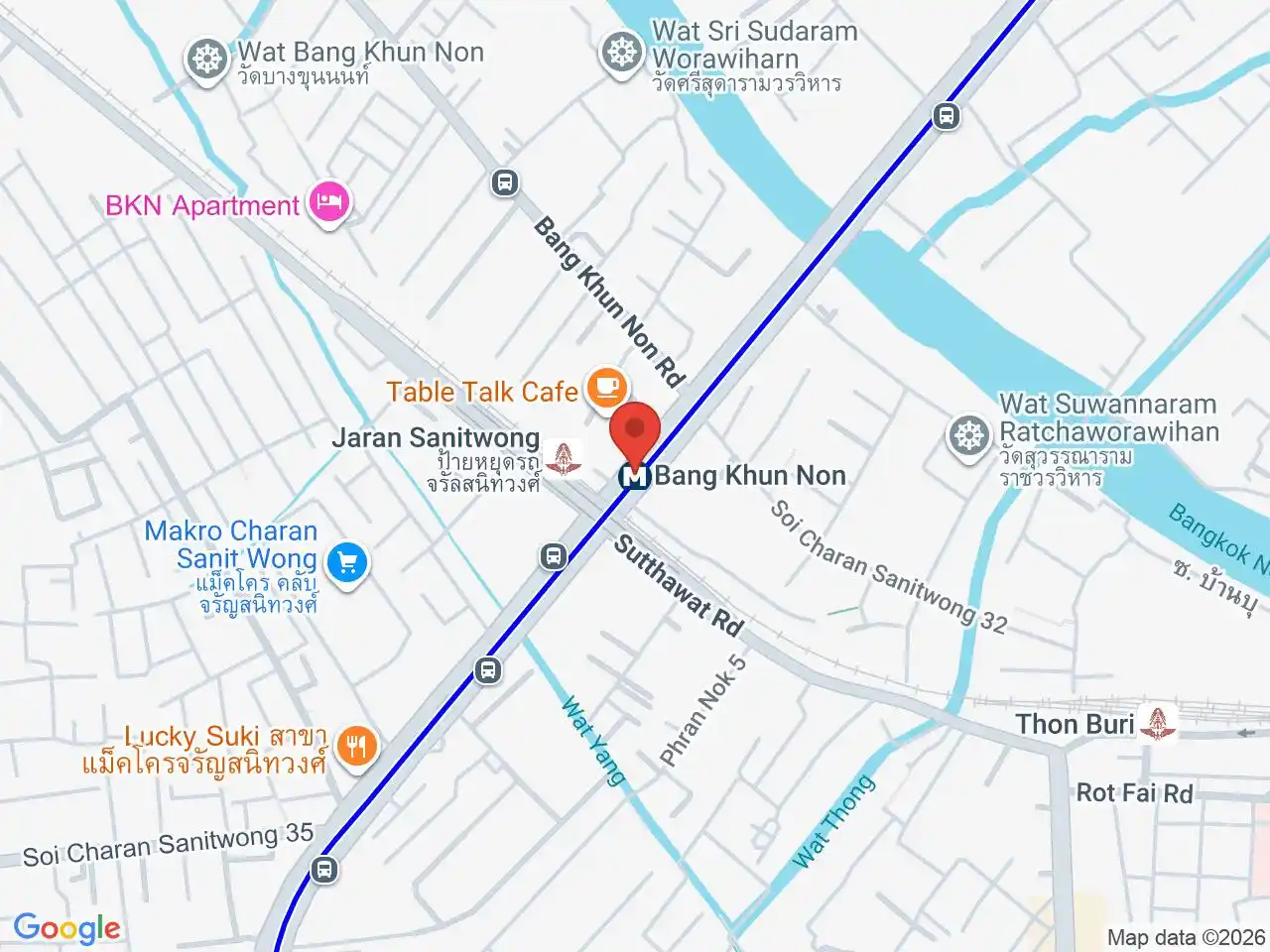
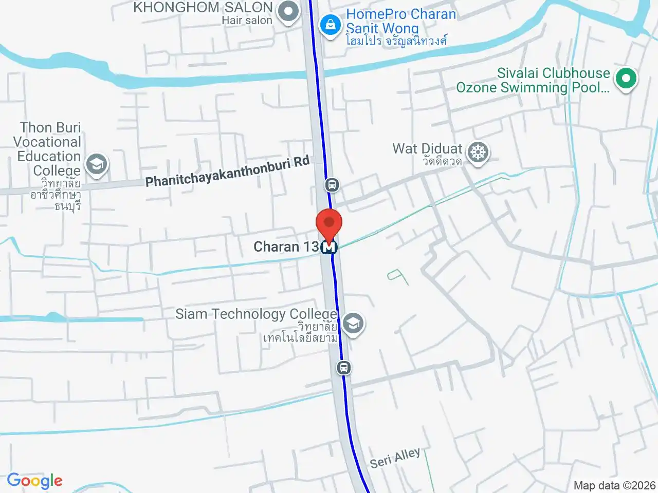
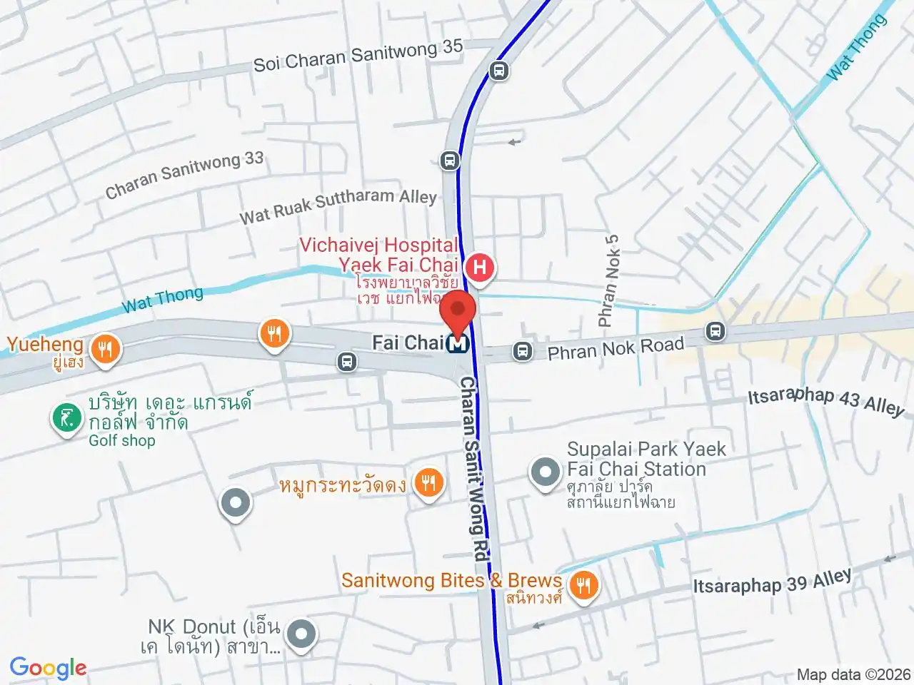
Bang Khun Non MRT, Fai Chai MRT, and Charan 13 MRT serve the western part of the district. They are useful for local addresses along the Blue Line corridor, not direct substitutes for a Siriraj ferry or road journey.
Taxis, buses, motorcycles, and local rail or boat connections fill the gaps. Canals and railway land can make short cross-district routes indirect.
Whether travelling to an appointment, commuting, or exploring the riverfront, use the specific building, market, or pier as the route destination. “Bangkok Noi” is the administrative district, while Siriraj, Wang Lang, and the wider Thonburi area identify different places within or around it.
For more information on Bangkok Noi, visit the Wikipedia article on Bangkok Noi.
MRT Stations in Bangkok Noi
Google Rating
62 reviews
Google Rating
63 reviews
Google Rating
128 reviews
Restaurants in Bangkok Noi
Restaurant Listings
Sorted by Google rating, then review count. Confirm opening hours and booking rules before you go.
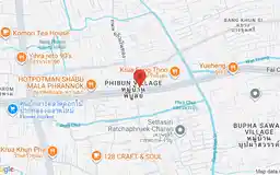
Hospitals in Bangkok Noi
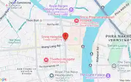
Siriraj Hospital
Google Rating
597 reviews
Thailand's largest and oldest hospital, a major public teaching hospital in Bangkok Noi on the Thonburi side, with highly specialized departments and significantly lower costs than private hospitals.
Colleges and universities in Bangkok Noi

Mahidol University (Bangkok Campuses)
Google Rating
1,691 reviews
One of Thailand's top research universities, with medical, nursing, and public health programs based at Siriraj Hospital in Thonburi and a postgraduate presence in the city.