Wikimedia Commons, CC BY-SA 3.0
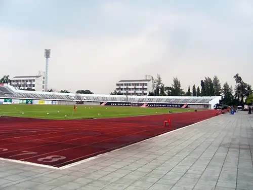
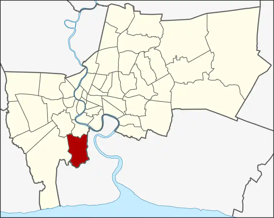
Thung Khru sits south of the central Chao Phraya districts. Pracha Uthit Road and King Mongkut’s University of Technology Thonburi provide its clearest citywide references, while housing and local streets spread toward canals and the Bangkok boundary.
University and neighbourhood life
The KMUTT Bang Mod campus brings students, staff, apartments, food, and daily services into the district. The wider area remains residential and local, with schools, markets, mosques, temples, and workplaces serving established communities.
Do not treat the university name as a precise location for every address. Confirm the campus gate, building, and side of Pracha Uthit Road before travelling.
Transport
Thung Khru has no BTS or MRT station in the current WhyBangkok transport network. Buses and local transport follow the main roads, while taxis, motorcycles, and private vehicles are useful for the last mile. A cross-city trip normally requires a road connection before rail becomes practical.
Allow extra time at peak periods and around university activity. Deep residential streets can be slow to enter or leave even when the main-road distance looks short.
Living tradeoffs
The district suits students, university staff, families, and workers with southern-Bangkok routines. Housing can offer more space than central districts, but the commute penalty matters if work is around Sukhumvit, Silom, or northern Bangkok.
Visitor use
Visit Thung Khru for a named campus, institution, restaurant, community event, or personal connection. It is not a general sightseeing base, and there is little advantage in crossing the city without a specific purpose.
For more information on Thung Khru, visit the Wikipedia article on Thung Khru.