Wikimedia Commons, CC BY-SA 3.0
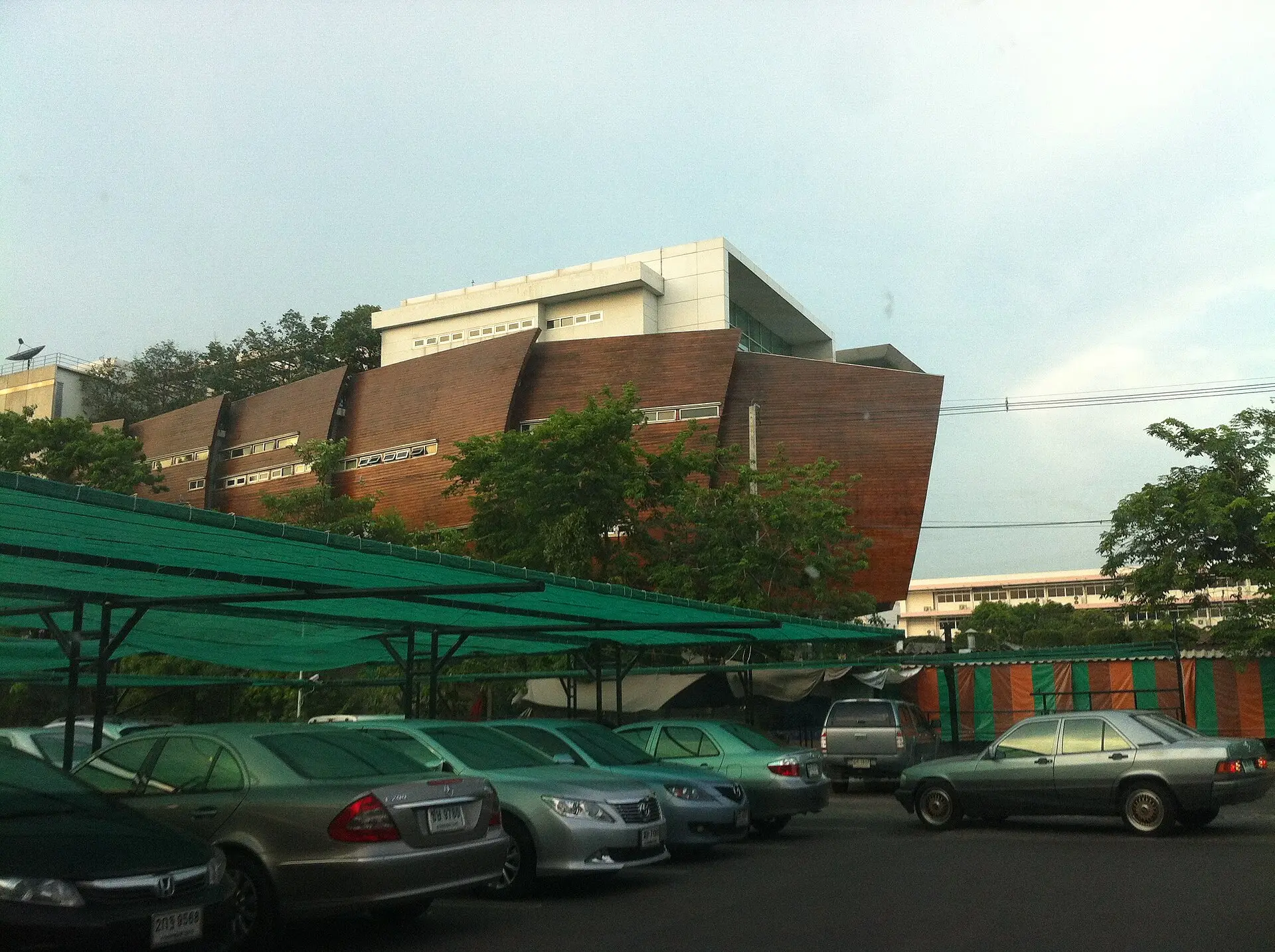
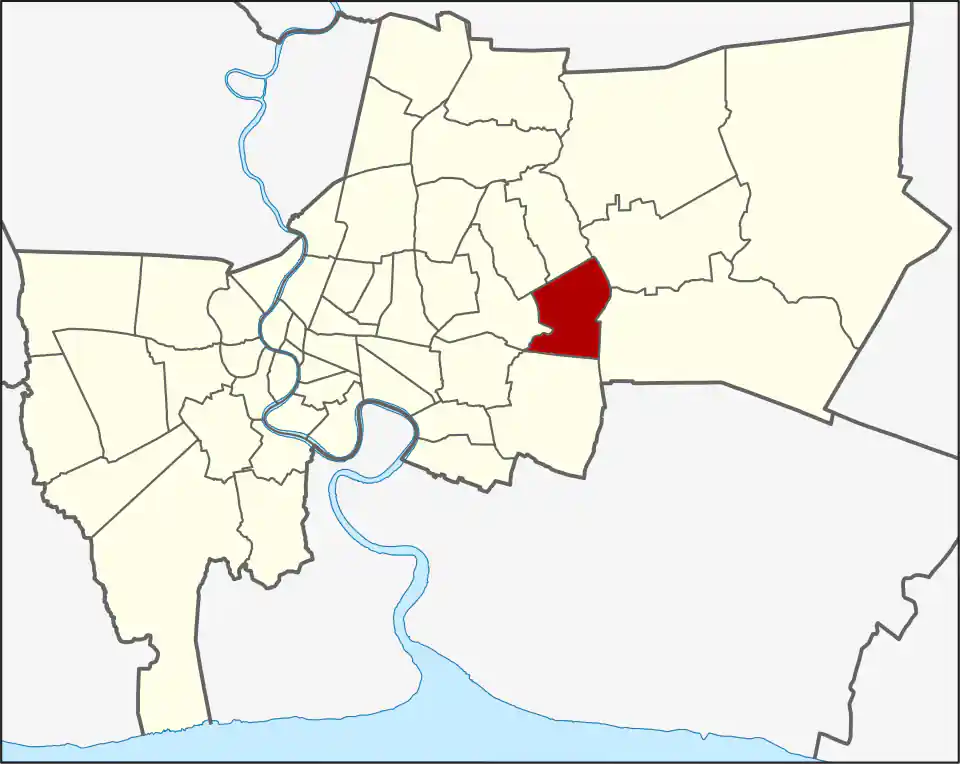
Saphan Sung covers 28.124 square kilometres east of Bang Kapi. Its three khwaeng are Saphan Sung, Rat Phatthana and Thap Chang, and the district had 95,537 registered residents in 2017. Housing developments, schools, mosques, temples and local commerce sit among canals and major roads.
Saphan Sung khwaeng covers 8.147 square kilometres, Rat Phatthana 9.009 and Thap Chang 10.968. Saphan Sung and Rat Phatthana are oriented more directly to Ramkhamhaeng Road, while Thap Chang extends south toward Krungthep Kreetha and the airport-side corridors. The khwaeng name is useful when two places share a Ramkhamhaeng or Krungthep Kreetha description but sit far apart.
A district shaped by crossings
The name means “tall bridge,” recalling the raised canal bridges needed for boats to pass beneath. Saphan Sung became a district in November 1997 from territory previously administered by Bueng Kum, together with part of Prawet. Rat Phatthana and Thap Chang were created as separate khwaeng in 2017, giving the district its present three-part structure.
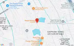
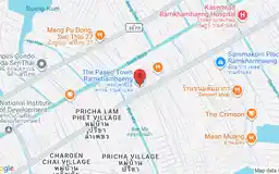
Ramkhamhaeng Road is the main public-facing corridor. The Paseo Town Ramkhamhaeng provides shopping and dining, while Ramkhamhaeng 2 Hospital serves Rat Phatthana farther east. Maan Muang is a local dining destination with its own restaurant page.
Transport and address checks
Saphan Sung has no operating BTS or MRT station in the current WhyBangkok transport network. The Airport Rail Link and Yellow Line may help from neighbouring districts for particular addresses, but buses, taxis, motorcycles and private vehicles handle most local journeys. Expressway access can help longer trips without solving the final road leg.
Canals, gated developments and limited crossings make some map distances misleading. For a home, school or appointment, use the actual entrance and test the journey at the time you will travel. Saphan Sung suits people with eastern-Bangkok, airport-side or local family routines; visitors should come for a named destination rather than expecting a compact sightseeing area.
Do not assume that Thap Chang khwaeng puts an address beside Ban Thap Chang Airport Rail Link station. The station is a possible gateway for some southern journeys, but the local connection can still cross a district boundary or require a substantial road transfer. Ramkhamhaeng is usually the clearer approach for the northern and central parts; Krungthep Kreetha works better for many southern addresses.
For more information on Saphan Sung, visit the Wikipedia article on Saphan Sung.
Restaurants in Saphan Sung
Restaurant Listings
Sorted by Google rating, then review count. Confirm opening hours and booking rules before you go.
Google Rating
1,896 reviews
Shopping in Saphan Sung
The Paseo Town Ramkhamhaeng
Google Rating
3,043 reviews
A pet-friendly community mall with shops and restaurants on Ramkhamhaeng Road in Saphan Sung.
Hospitals in Saphan Sung
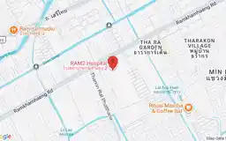
Ramkhamhaeng 2 Hospital
Google Rating
461 reviews
A private general hospital at 222 Ramkhamhaeng Road in Rat Phatthana, Saphan Sung.