Wikimedia Commons, CC BY-SA 3.0
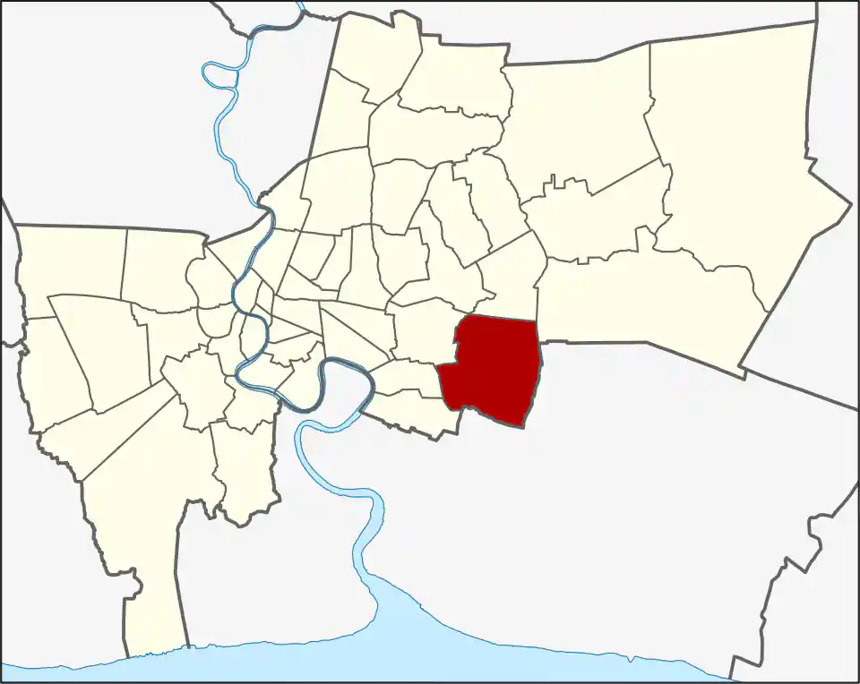
Prawet covers 52.49 square kilometres across the Prawet, Nong Bon and Dok Mai khwaeng. It had 175,656 registered residents in 2017. Housing estates, older communities, schools and airport-side employment sit beside some of eastern Bangkok’s largest parks, malls and event destinations.
Prawet khwaeng is the largest of the three at about 22.8 square kilometres. Nong Bon covers roughly 14.5 square kilometres around the park and Srinagarindra side, while Dok Mai covers about 15.2 square kilometres closer to the airport-facing road network. The khwaeng is often more useful than the district name for choosing a route.
Three khwaeng, different journeys
Prawet was formerly part of Phra Khanong and became a district in 1989. Suan Luang split away in 1994. The present name comes from Khlong Prawet Burirom, one of the canals that shaped settlement before the road network.
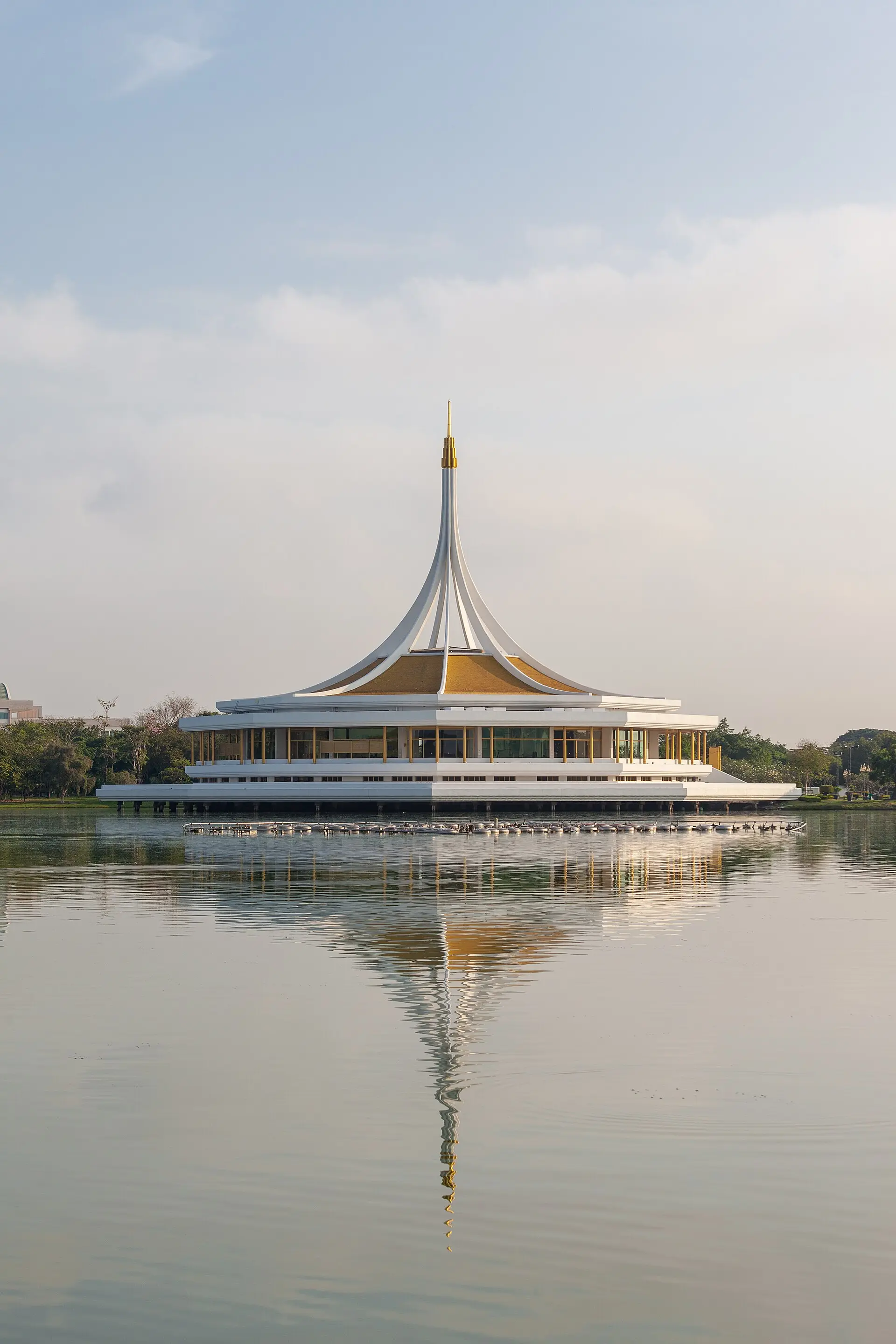
Nong Bon contains the best-known visitor cluster. Suan Luang Rama IX is in Prawet despite its name, as is Nong Bon Lake Sports Center. Across the wider Srinagarindra corridor, Seacon Square serves as a major shopping and dining centre. These places are close at district scale, but their entrances are far enough apart to require separate route planning.
Yellow Line and road access
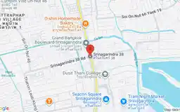
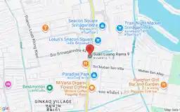
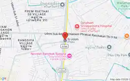
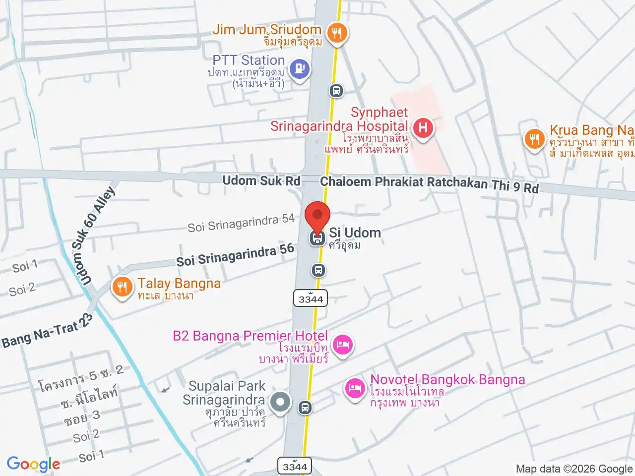
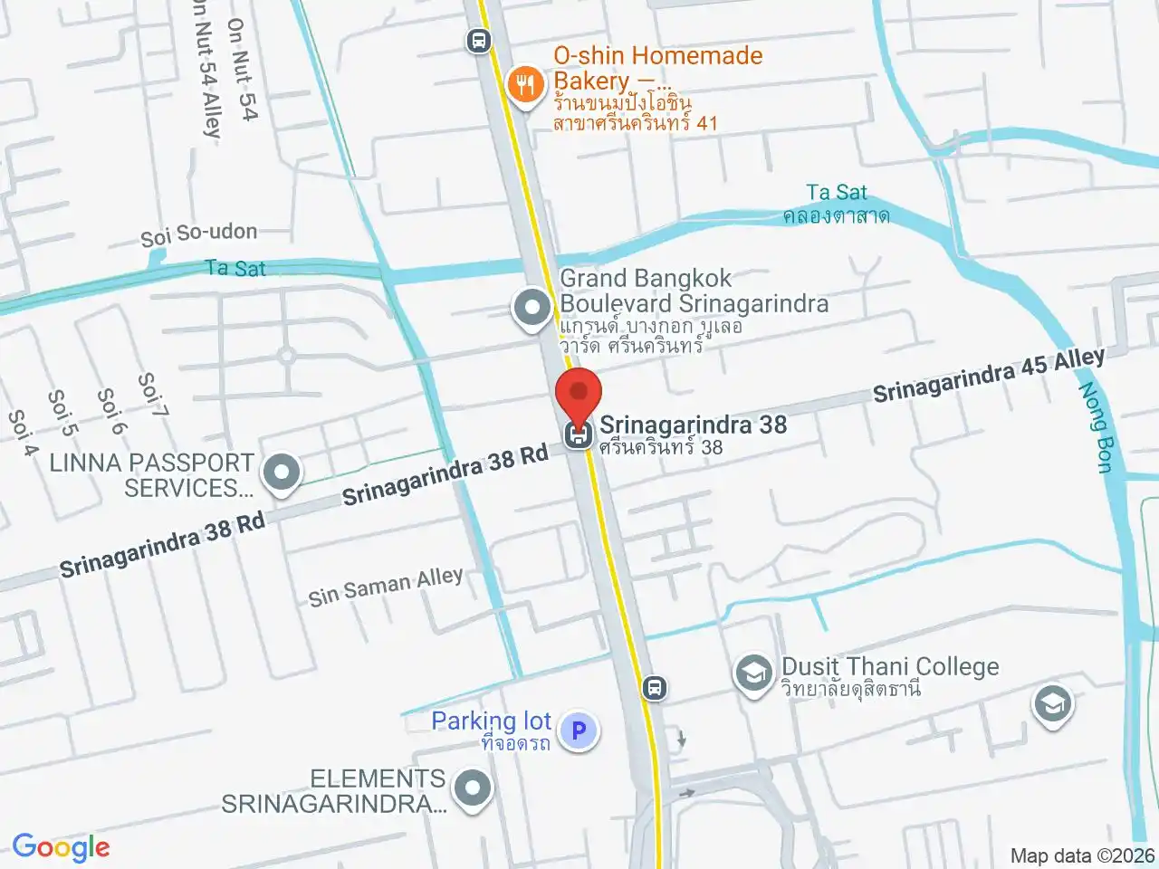
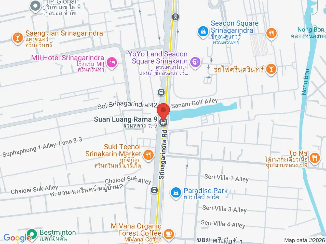
Srinagarindra 38 MRT, Suan Luang Rama IX MRT and Si Udom MRT serve the Srinagarindra side. The park remains more than a simple station exit walk, and destinations in Dok Mai or along Chaloem Phrakiat Rama IX Road usually need a bus, taxi, motorcycle or private vehicle.
Prawet suits families and workers with eastern-Bangkok or airport-side routines. For a visit, choose one park, mall, market or event and use its exact gate. For housing, test the commute from the actual soi: two Prawet addresses can have very different access to rail, expressways, schools and daily shopping.
Do not confuse the district with Prawet railway station or assume the Airport Rail Link serves every airport-side address. Ban Thap Chang ARL can help with selected northern journeys, but it is not a general substitute for the Yellow Line or a local road connection.
For more information on Prawet, visit the Wikipedia article on Prawet.
MRT Stations in Prawet
Google Rating
14 reviews
Google Rating
56 reviews
Google Rating
27 reviews
Shopping in Prawet
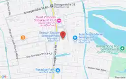
Seacon Square Srinakarin
Google Rating
26,785 reviews
A large shopping and entertainment centre on Srinagarindra Road beside the MRT Yellow Line in Prawet.
Attractions in Prawet
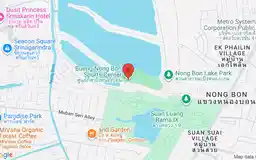
Nong Bon Lake Sports Center
Google Rating
3,180 reviews
A large lakeside public park and water-sports centre beside Suan Luang Rama IX in Prawet.
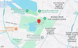
Suan Luang Rama IX
Google Rating
19,602 reviews
A major botanical park and lakeside green space in Prawet, often confused with the neighbouring Suan Luang district.