Wikimedia Commons, CC BY-SA 3.0
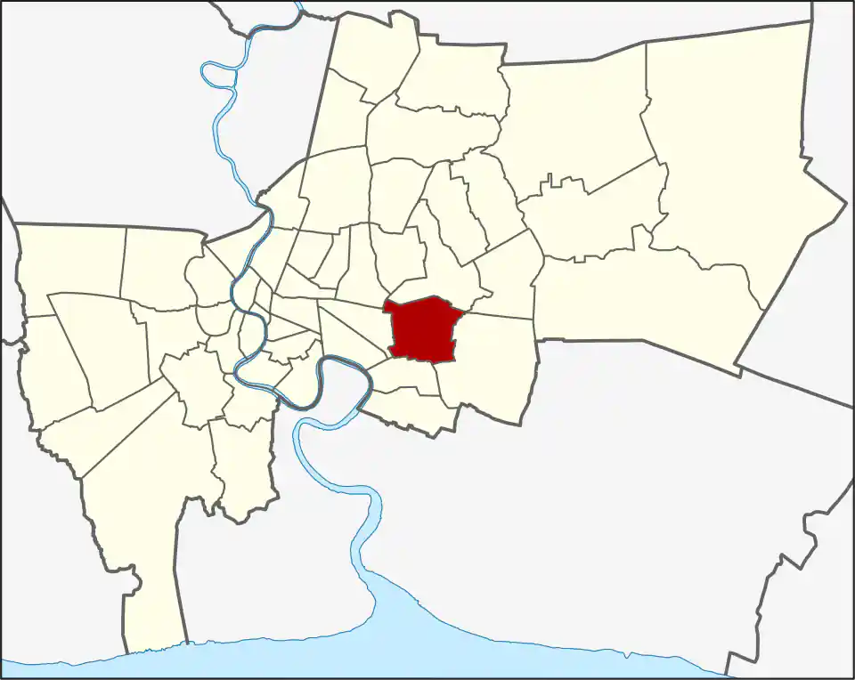
Suan Luang covers 23.678 square kilometres between the lower-Sukhumvit, Ramkhamhaeng and Srinagarindra sides of eastern Bangkok. The district had 122,534 registered residents in 2017. It now contains three khwaeng: Suan Luang, On Nut and Phatthanakan.
Those khwaeng span several different travel corridors. On Nut khwaeng follows the long east-west On Nut Road side, Phatthanakan takes in much of the northern corridor, and Suan Luang lies between and east of them toward Srinagarindra. The same district label can therefore describe homes with very different access to Sukhumvit, the Airport Rail Link or the Yellow Line.
A newer district with an old name
The area formerly belonged to Phra Khanong and then Prawet. Suan Luang became a separate district in 1994, taking its name from the historic Suan Luang subdistrict, meaning “royal garden.” Suan Luang remained the only khwaeng until On Nut and Phatthanakan were separated from it in 2017.
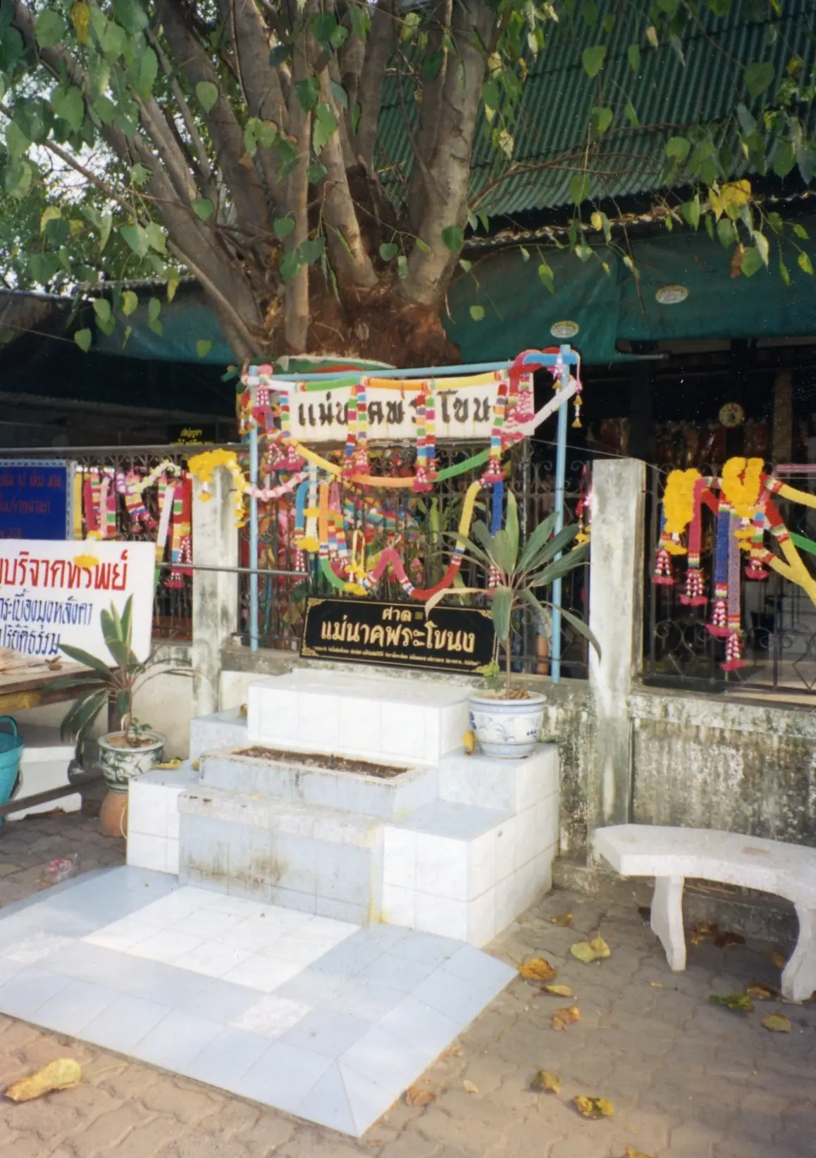
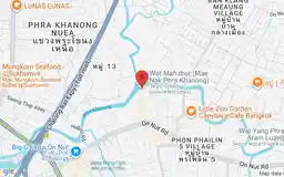
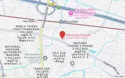
The district name causes a common planning error: Suan Luang Rama IX park and Suan Luang Rama IX MRT are in neighbouring Prawet. Within Suan Luang, People Park On Nut is a local shopping and dining stop, Vibharam Hospital is on Phatthanakan Road, and Wat Mahabut is an active temple associated with the Mae Nak story.
Rail helps, but the corridor matters
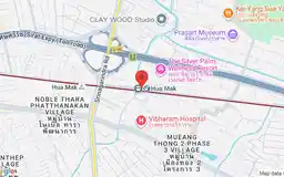
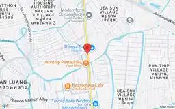
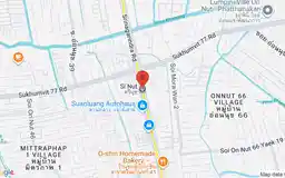
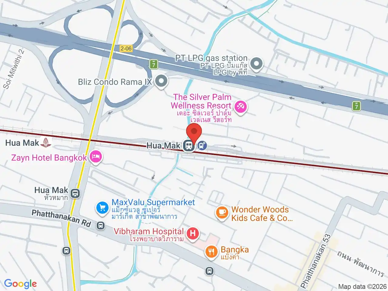
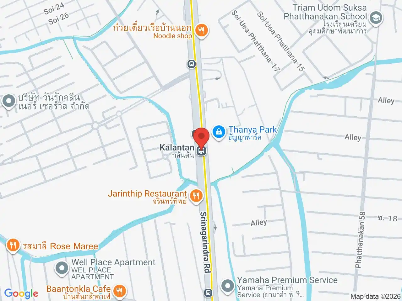
Hua Mak ARL and Ramkhamhaeng ARL serve the northern side. The Yellow Line’s Hua Mak, Kalantan and Si Nut stations serve different parts of the district; Srinagarindra 38 is across the boundary in Prawet. The wider On Nut area crosses administrative boundaries and reaches toward On Nut BTS outside Suan Luang.
Choose a home or hotel by exact road and station, not the district name. Deep sois can add a long bus, taxi or motorcycle leg, and access, drainage, pavement and late-night transport vary sharply between streets.
On Nut Road and On Nut BTS are especially easy to confuse: the road continues far east into the district, while the BTS station sits closer to Sukhumvit outside it. Phatthanakan addresses may work better with the Airport Rail Link or a road connection, and eastern Suan Luang addresses may favour the Yellow Line. For a local meal away from the large corridors, Baan Pee Lek shows the district’s quieter residential character.
For more information on Suan Luang, visit the Wikipedia article on Suan Luang.
BTS/MRT/ARL Stations in Suan Luang
Ramkhamhaeng
รามคำแหง
Ramkhamhaeng Road, canal boats, hotels, and local connections.
Google Rating
385 reviews
Google Rating
42 reviews
Google Rating
7 reviews
Google Rating
18 reviews
Station map
ARL A4 · Hua Mak
Local map not available yet
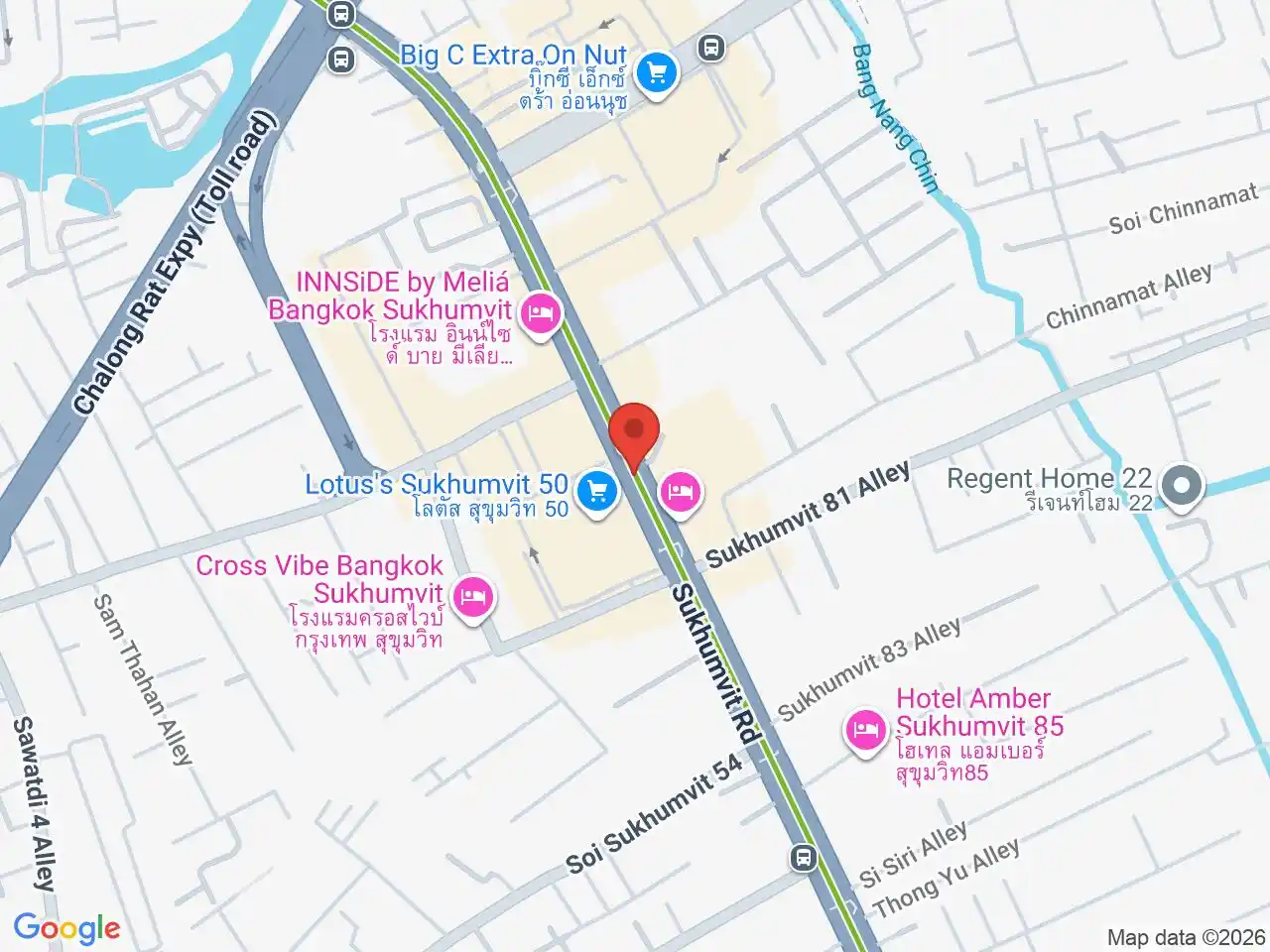
Station map
ARL A5 · Ramkhamhaeng
Local map not available yet
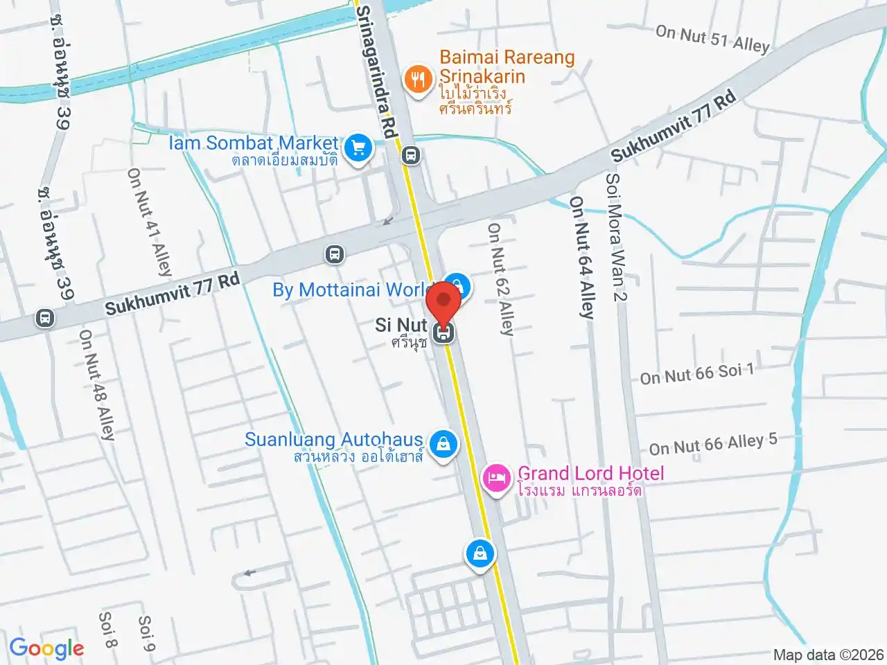
Restaurants in Suan Luang
Restaurant Listings
Sorted by Google rating, then review count. Confirm opening hours and booking rules before you go.
Google Rating
1,063 reviews
Shopping in Suan Luang
People Park On Nut
Google Rating
2,573 reviews
A neighbourhood community mall with dining and everyday services on On Nut Road in Suan Luang.
Attractions in Suan Luang
Wat Mahabut
Google Rating
7,480 reviews
An active temple beside Khlong Phra Khanong in Suan Luang, widely associated with the Mae Nak legend.
Hospitals in Suan Luang
Vibharam Hospital
Google Rating
2,091 reviews
A private general hospital on Phatthanakan Road in Suan Luang, serving eastern Bangkok.