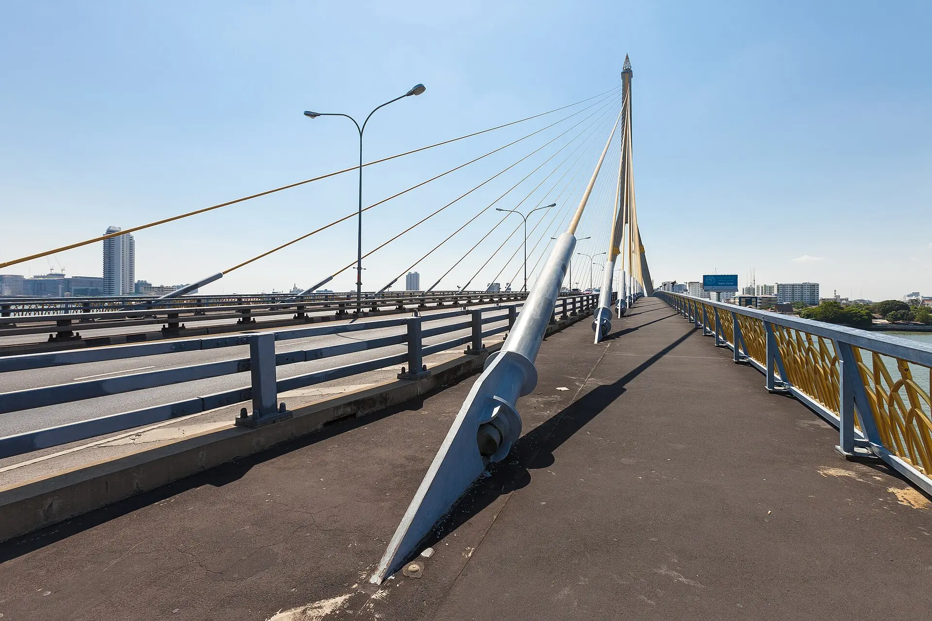
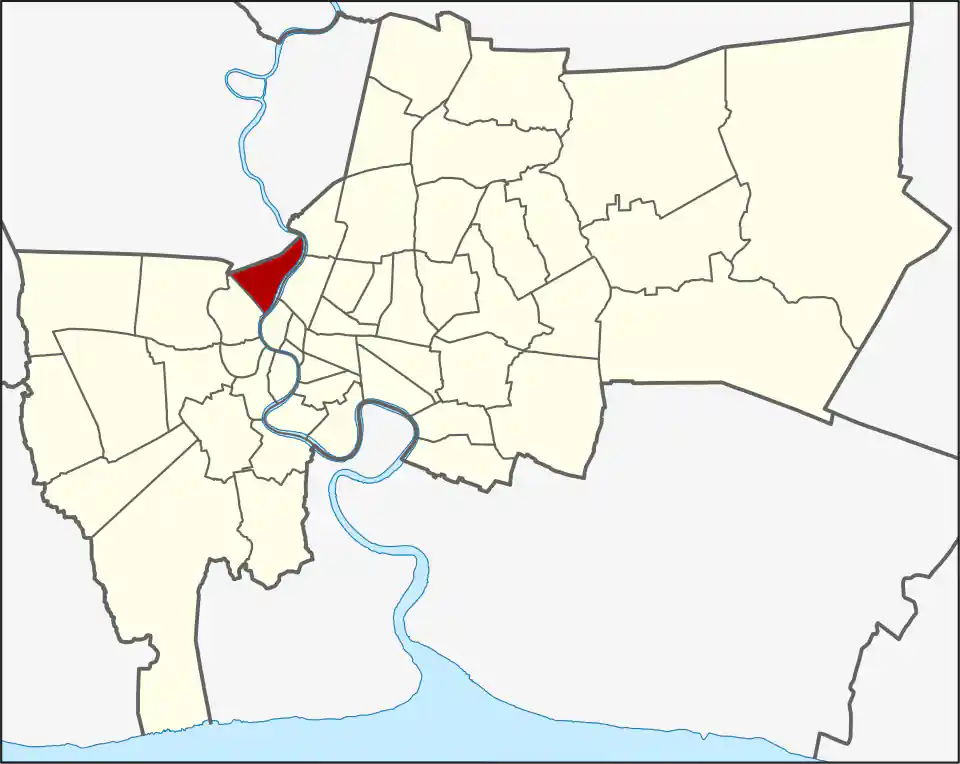
Wikimedia Commons, CC BY-SA 3.0
Bang Phlat occupies the west bank of the Chao Phraya north of the old-town river crossings. Charan Sanit Wong Road is the clearest transport spine, while smaller roads and canals lead into residential communities and river-facing properties.
The district covers 11.360 km² across Bang Phlat (3.296 km²), Bang O (2.846 km²), Bang Bamru (2.332 km²), and Bang Yi Khan (2.886 km²). The Blue Line station names help orient its north-south spine: Bang O and Bang Phlat serve northern addresses, while Bang Yi Khan is the closer rail reference for the Rama VIII Bridge side. The four khwaeng are close in size, but the river, canals, and bridge approaches create practical differences between addresses. Bang Phlat had 92,325 residents in 2017. It was created in 1915, absorbed into Bangkok Noi in 1938, and restored in 1989 using four of Bangkok Noi’s subdistricts; a 1991 boundary adjustment created Arun Amarin in Bangkok Noi.
Choosing the right station
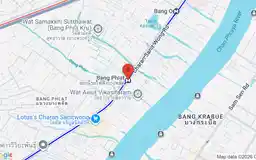
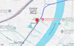
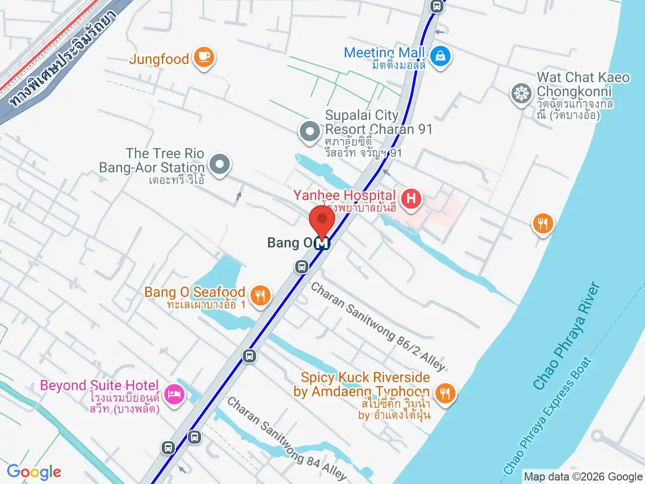
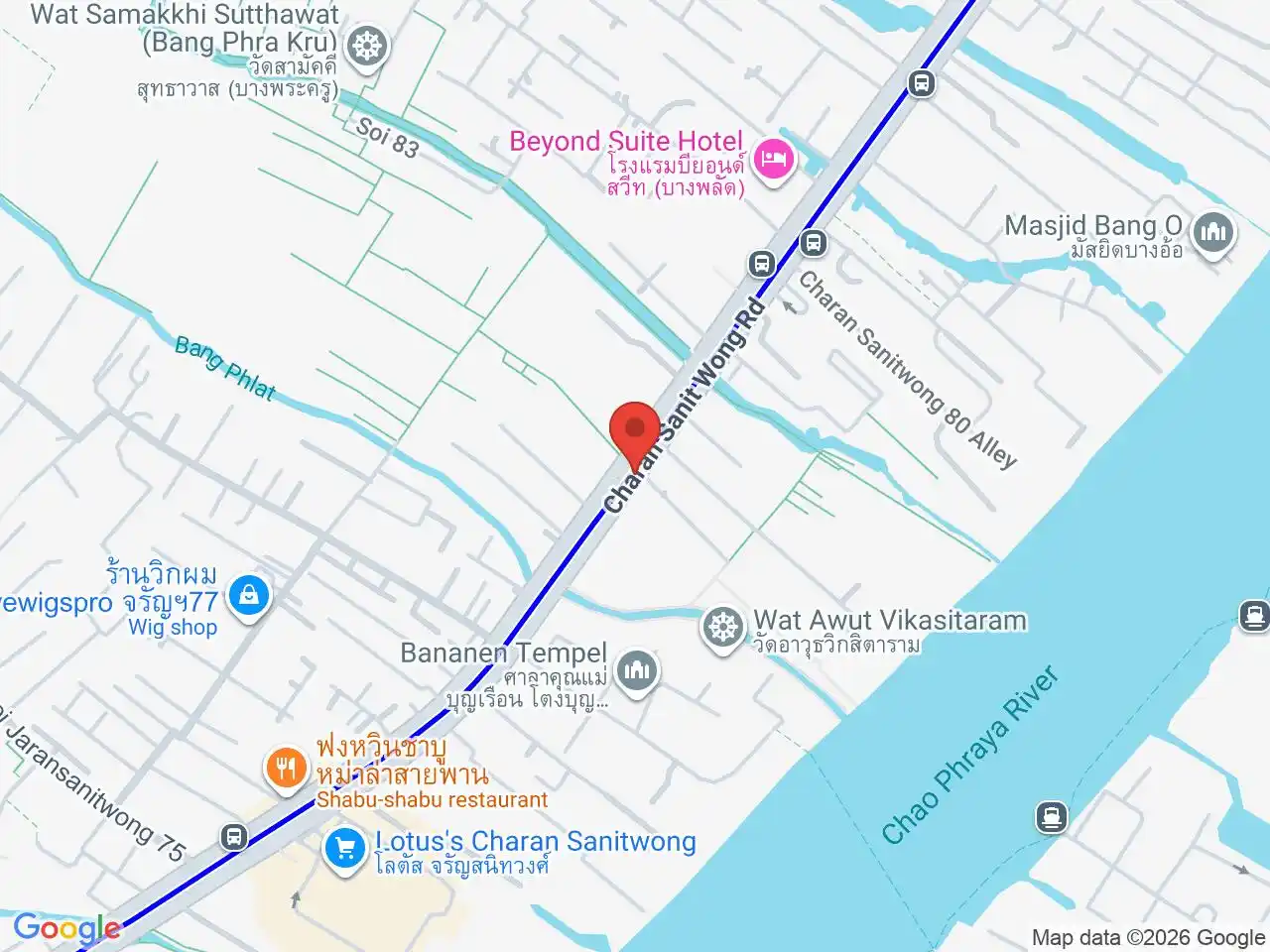
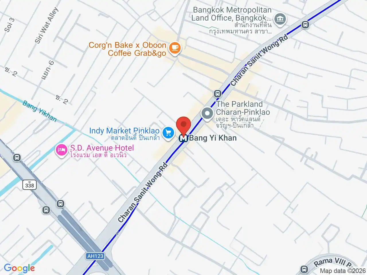
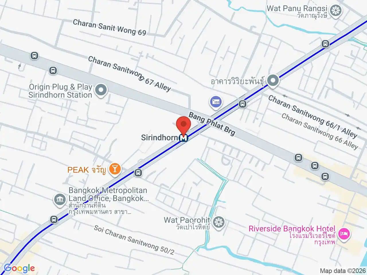
Sirindhorn MRT, Bang Phlat MRT, Bang O MRT, and Bang Yi Khan MRT serve different parts of the district. They are consecutive Blue Line stops, but they are not interchangeable for the last mile.
Bang Yi Khan is the most useful choice for some Rama VIII Bridge and southern-district journeys. Bang Phlat and Bang O suit addresses farther north along Charan Sanit Wong. Check the road side, canal, and bridge approach before choosing a station.
Character and river access
Bang Phlat is mainly residential and local. The river creates views and ferry possibilities in selected places, but it also interrupts east-west movement. A property described as riverside may still be far from a public pier or convenient bridge crossing.
The name is commonly interpreted as “lost place,” a reference to the canals and dense vegetation that once made the area difficult for outsiders to navigate. Today the four-subdistrict district mixes residential blocks with local commerce and some industrial uses, while the Blue Line and Charan Sanit Wong carry much of the north-south movement. The river crossings at Krung Thon and Rama VIII bridges connect it to other parts of Bangkok, but the bridge approach can add distance to a short-looking map route. Wat Kharuehabodi, Wat Bowon Mongkhon Rachaworawiharn, Yanhee Hospital, and Suan Luang Rama VIII Park are examples of destinations in different parts of Bang Phlat; residents looking at healthcare access and visitors choosing a riverside route should route to the named destination rather than the district centre.
Living and visiting
For residents, Bang Phlat combines local services and established residential streets with Blue Line access along Charan Sanit Wong. Visitors can also stay here when a hotel has a clear station or river connection; crossing to Dusit, the old town, or central business districts can be straightforward or awkward depending on the exact address.
Practical route check
Plan the final kilometre as carefully as the Blue Line trip. Busy roads, limited crossings, and indirect canal routes can turn a nearby map pin into a taxi or motorcycle journey.
For more information on Bang Phlat, visit the Wikipedia article on Bang Phlat.
MRT Stations in Bang Phlat
Google Rating
81 reviews
Google Rating
87 reviews
Google Rating
46 reviews
Google Rating
50 reviews
Restaurants in Bang Phlat
Restaurant Listings
Sorted by Google rating, then review count. Confirm opening hours and booking rules before you go.
Fried Banana Rama 5 (Bang Kruai - Sai Noi Road)
Street Food restaurant in Bangkok, recommended in the Michelin Guide.
Google Rating
1,365 reviews
Dhabkwan
Thai restaurant in Bangkok, recommended in the Michelin Guide.
Google Rating
502 reviews