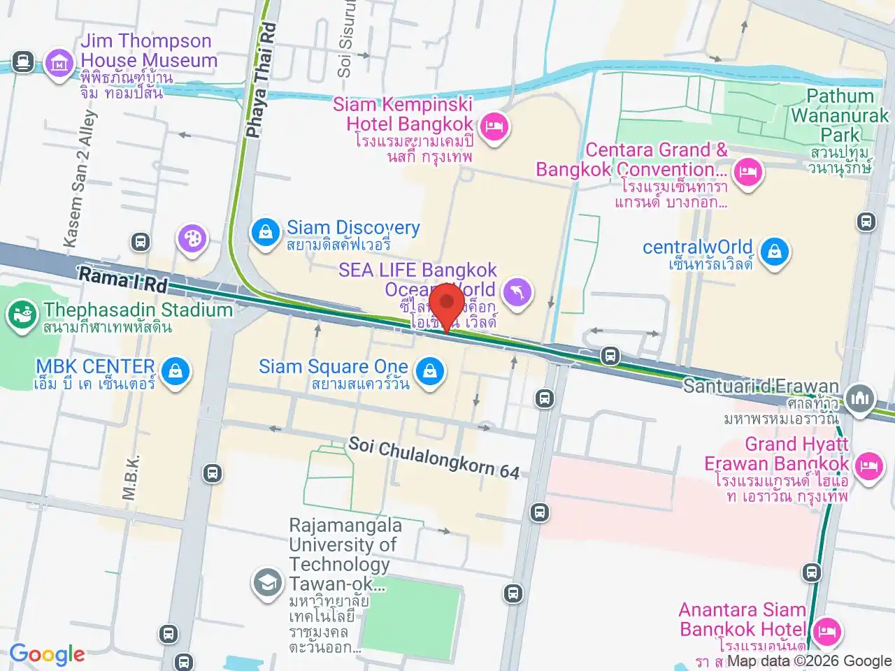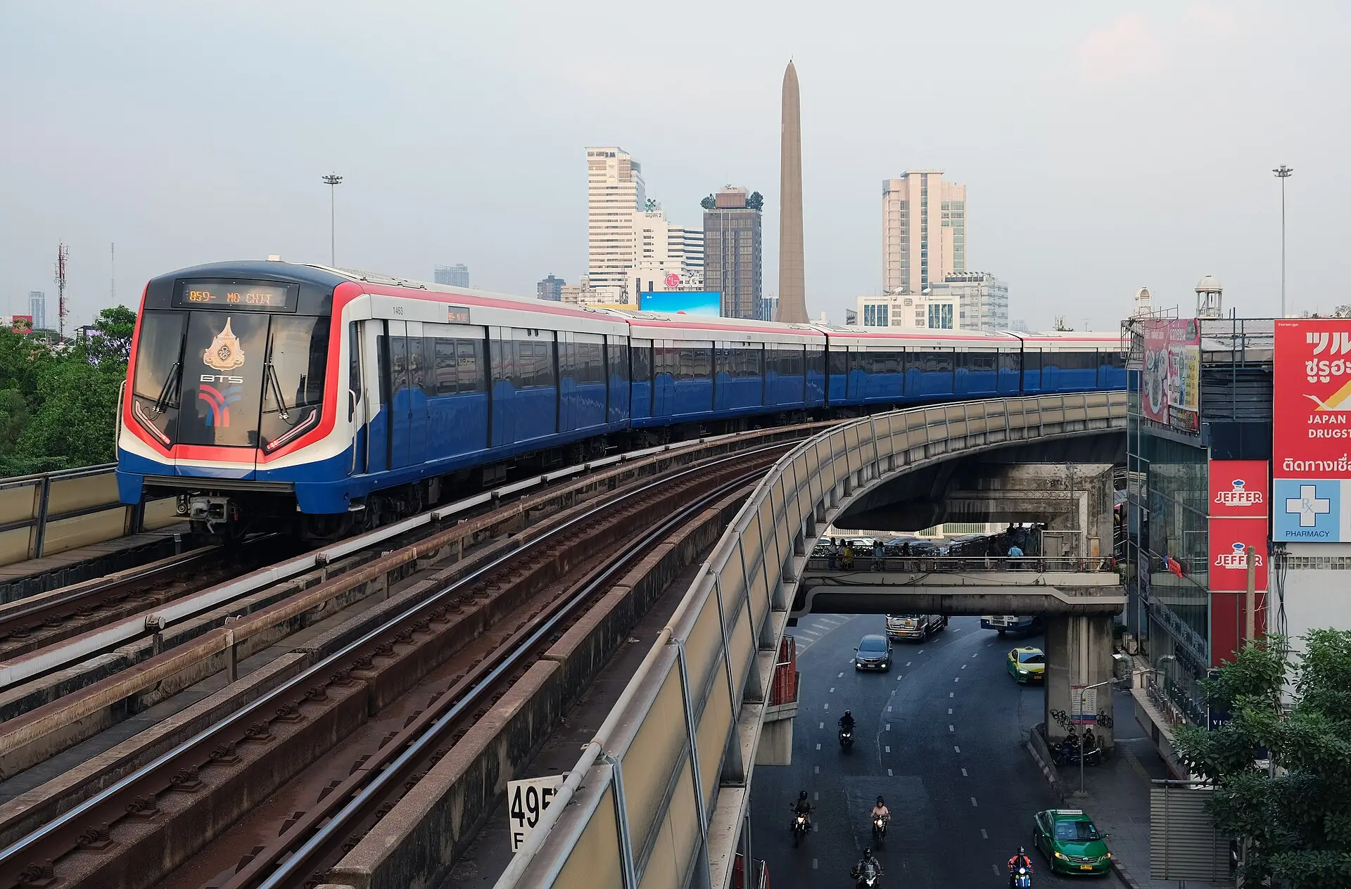

WhyBangkok divides the operator’s through-running BTS Sukhumvit Line into North and East hubs so its long route is easier to scan. This page covers Siam and the N-coded direction to Khu Khot; trains continue through Siam toward Kheha without requiring a transfer.
Siam to Victory Monument
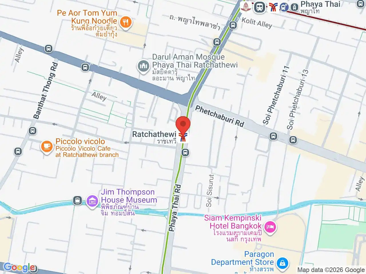
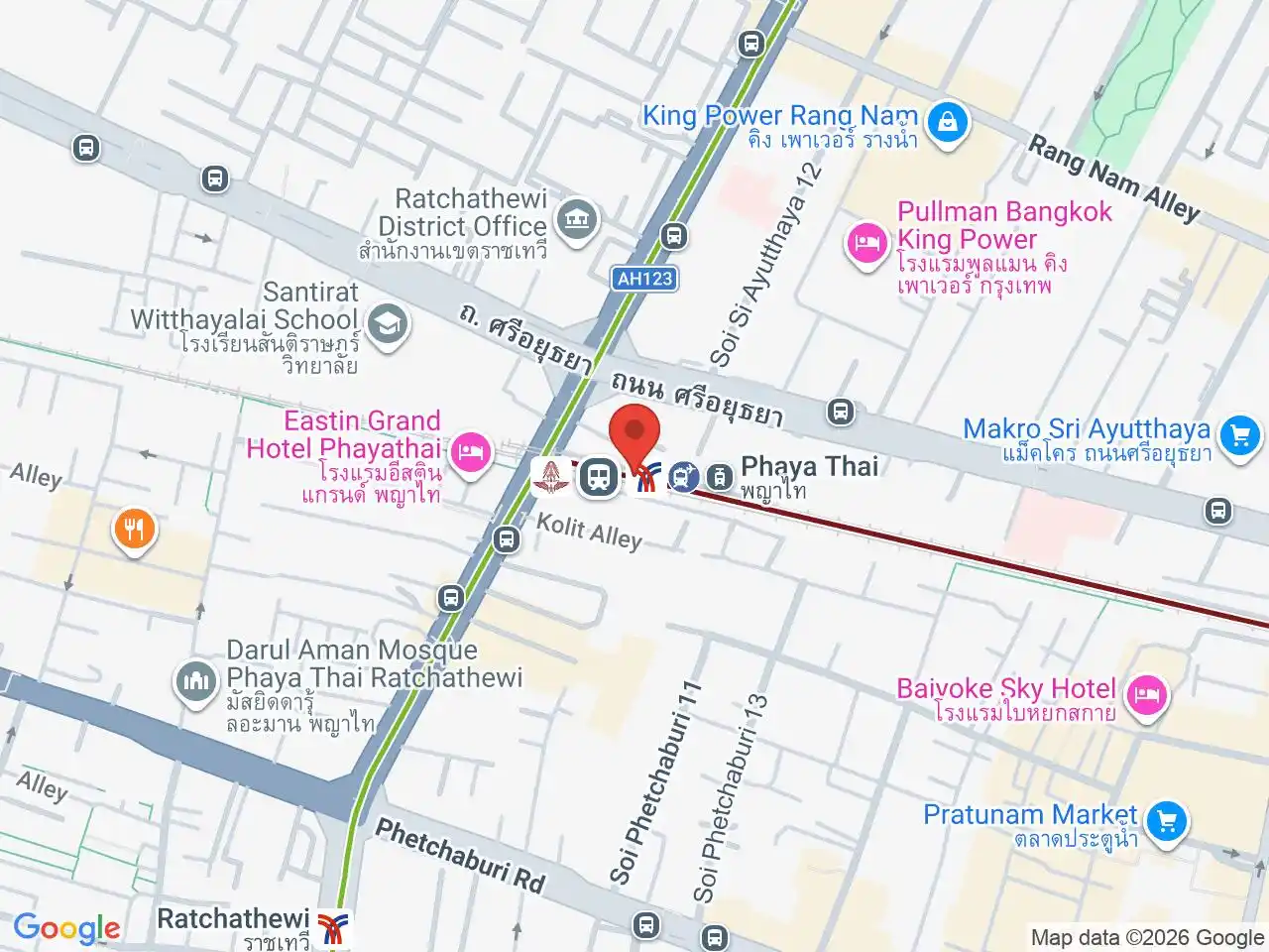
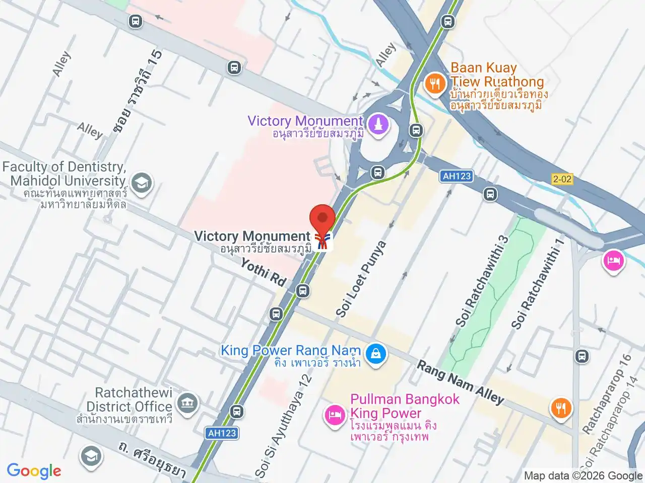
From Siam, the line runs through Ratchathewi to Phaya Thai, where signs lead to the separately operated Airport Rail Link. Victory Monument is a major road-transport interchange as well as a BTS stop, so confirm the correct side of the roundabout before leaving the station.
Ari, Saphan Khwai, and Chatuchak
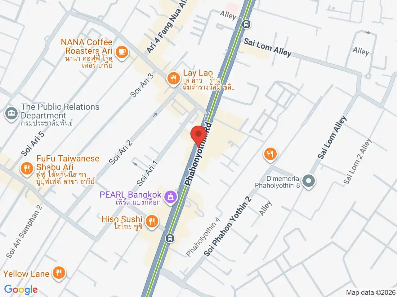
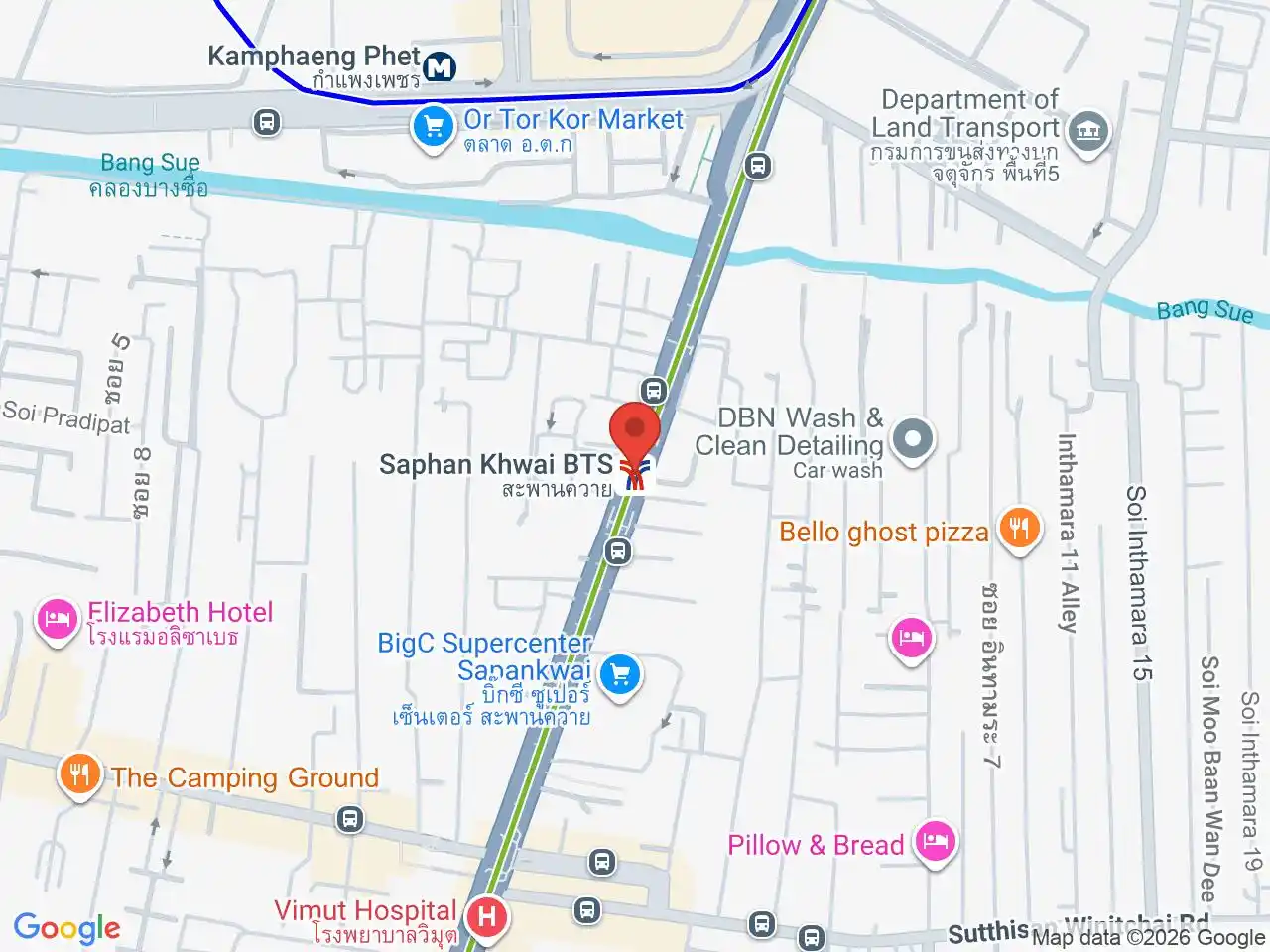
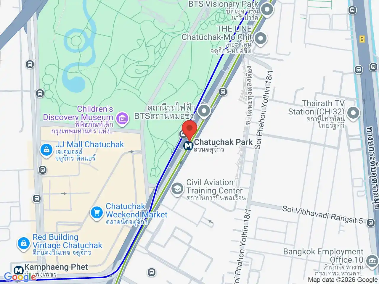
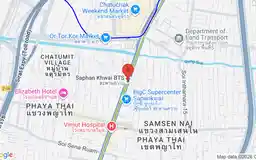
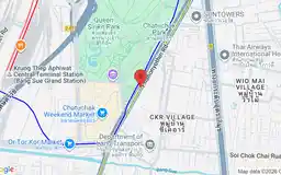
Ari is the strongest neighbourhood stop on this section for cafes, restaurants, and a more residential base. Saphan Khwai leads toward local streets south of Chatuchak. Mo Chit is the BTS approach to Chatuchak Weekend Market, while Chatuchak Park and Kamphaeng Phet on the MRT Blue Line can be better for other sides of the market.
Lat Phrao to Kasetsart
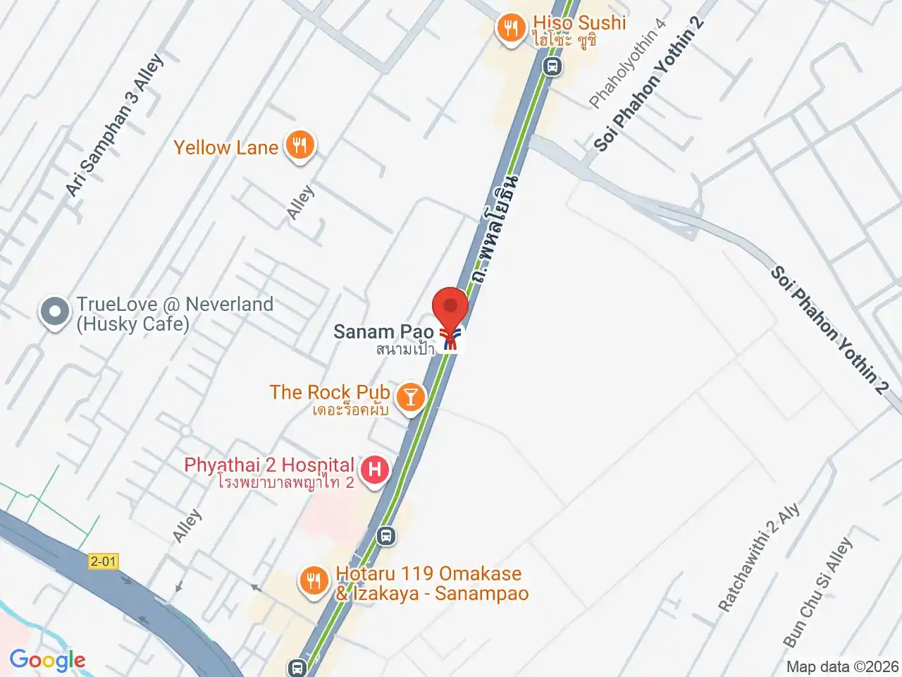
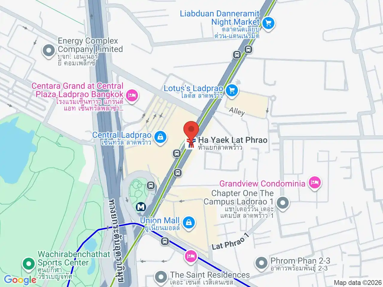
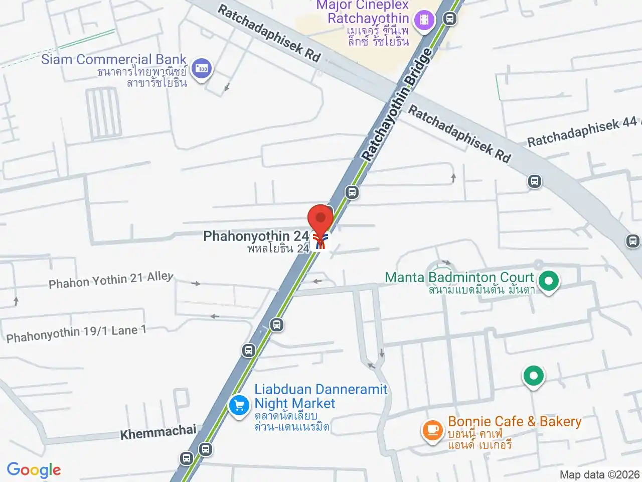
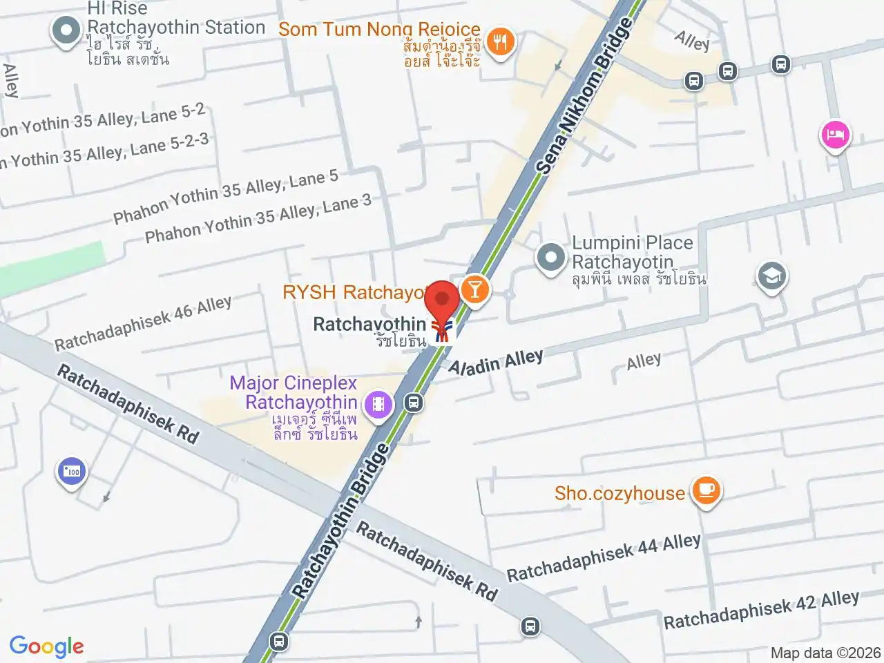
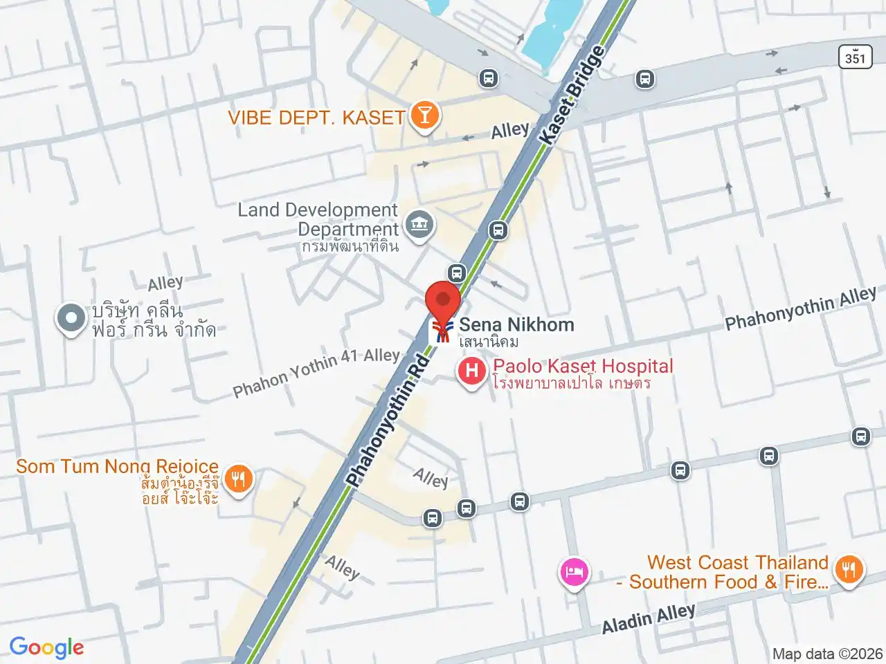
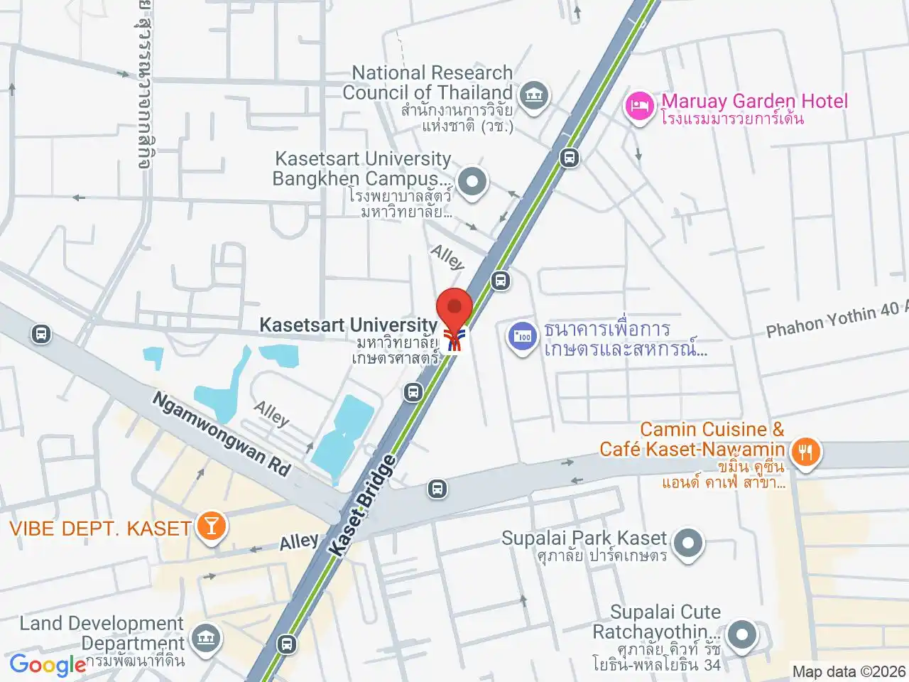
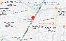
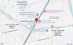
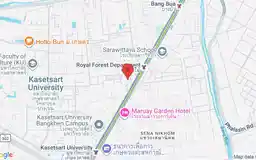
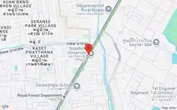
Ha Yaek Lat Phrao serves Central Ladprao and connects by street-level walking with Phahon Yothin MRT. North of the junction, the BTS follows Phahonyothin Road through Ratchayothin, Sena Nikhom, and Kasetsart University. These stops are useful for specific campuses, offices, and residential addresses rather than one continuous visitor district.
The northern extension
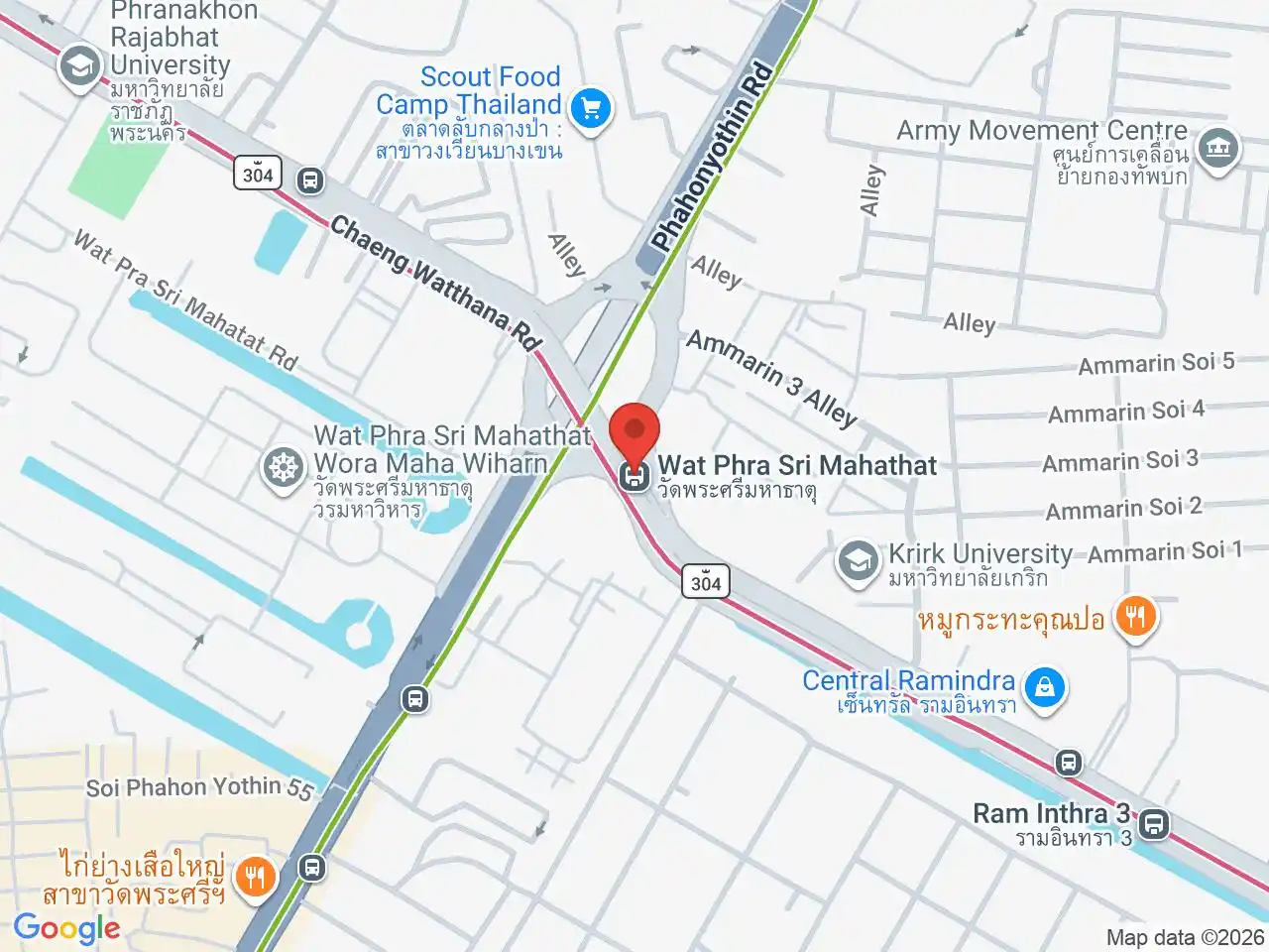
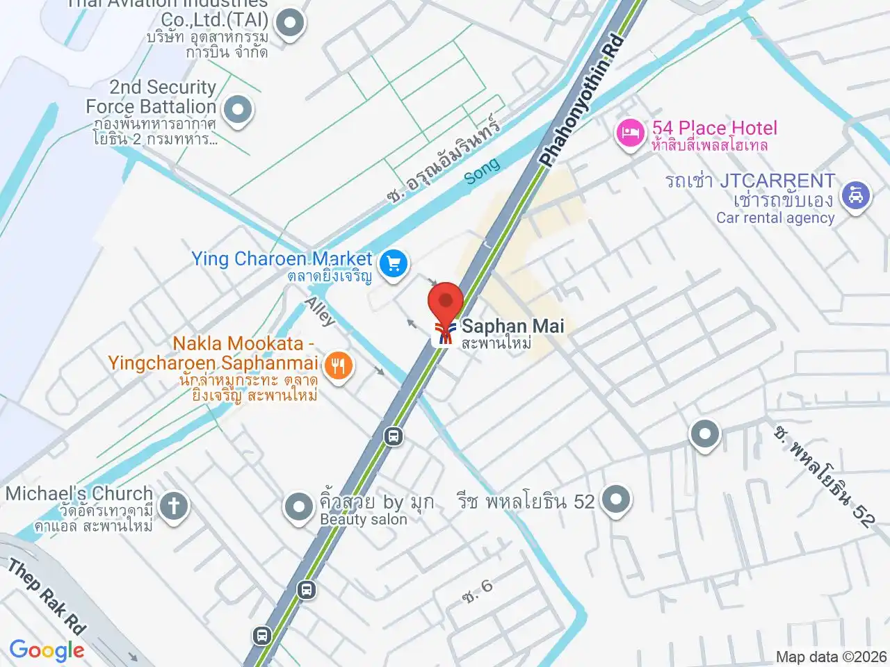
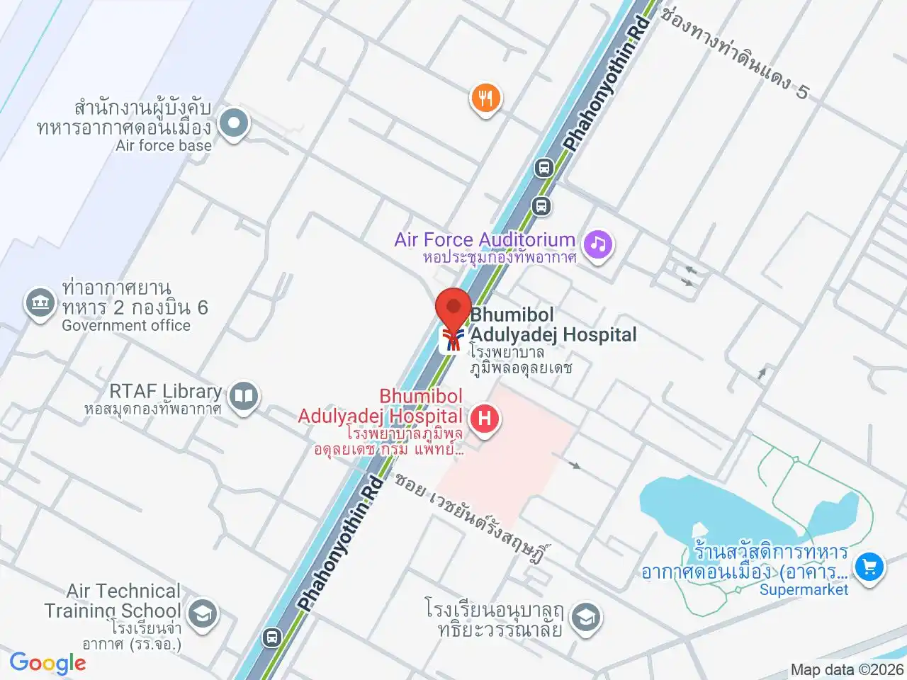
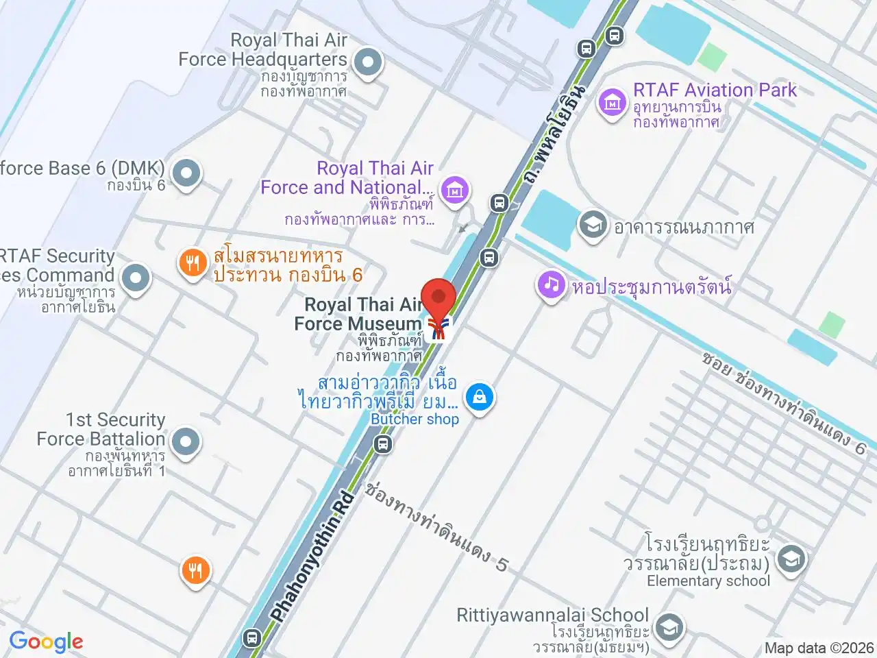
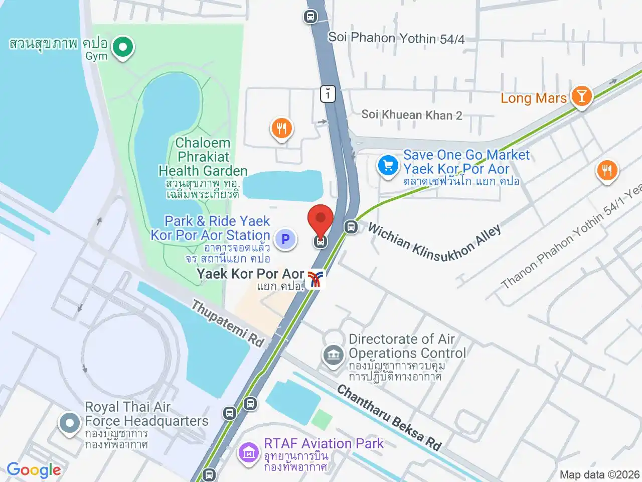
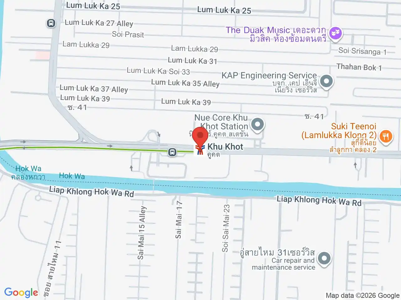
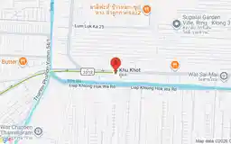
Wat Phra Sri Mahathat connects with the MRT Pink Line. The remaining extension continues through Saphan Mai and the Royal Thai Air Force area to Khu Khot. The line passes the wider Don Mueang district, but it is not the rail line into Don Mueang Airport; use the Don Mueang Airport guide before choosing an airport route.
Choose a station map
Use the station navigation to open the local map for the stop you need. It keeps the code, station sequence, and exact position together; use the operator for current fares, service changes, and first or last trains.
For a full overview of all transport options in Bangkok, see the Getting Around Bangkok guide.
For more information, see the Wikipedia article on the through-running BTS Sukhumvit Line.
BTS Sukhumvit Line — North stations
Google Rating
938 reviews
Google Rating
362 reviews
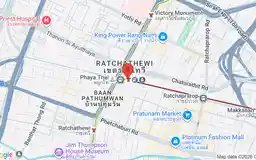
Phaya Thai
พญาไท
Airport Rail Link connection and convenient central accommodation.
Google Rating
1,755 reviews
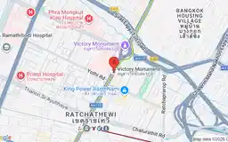
Victory Monument
อนุสาวรีย์ชัยสมรภูมิ
Monument circle, boat noodles, hospitals, and transport hub.
Google Rating
609 reviews
Google Rating
157 reviews
Google Rating
165 reviews
Google Rating
232 reviews
Google Rating
1,288 reviews
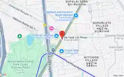
Ha Yaek Lat Phrao
ห้าแยกลาดพร้าว
Central Ladprao, Union Mall, and major shopping hub.
Google Rating
191 reviews
Google Rating
80 reviews
Ratchayothin
รัชโยธิน
Cinemas, offices, shopping, and lively evening restaurants.
Google Rating
69 reviews
Google Rating
74 reviews
Kasetsart University
มหาวิทยาลัยเกษตรศาสตร์
Major university, student food, research, and campus life.
Google Rating
145 reviews
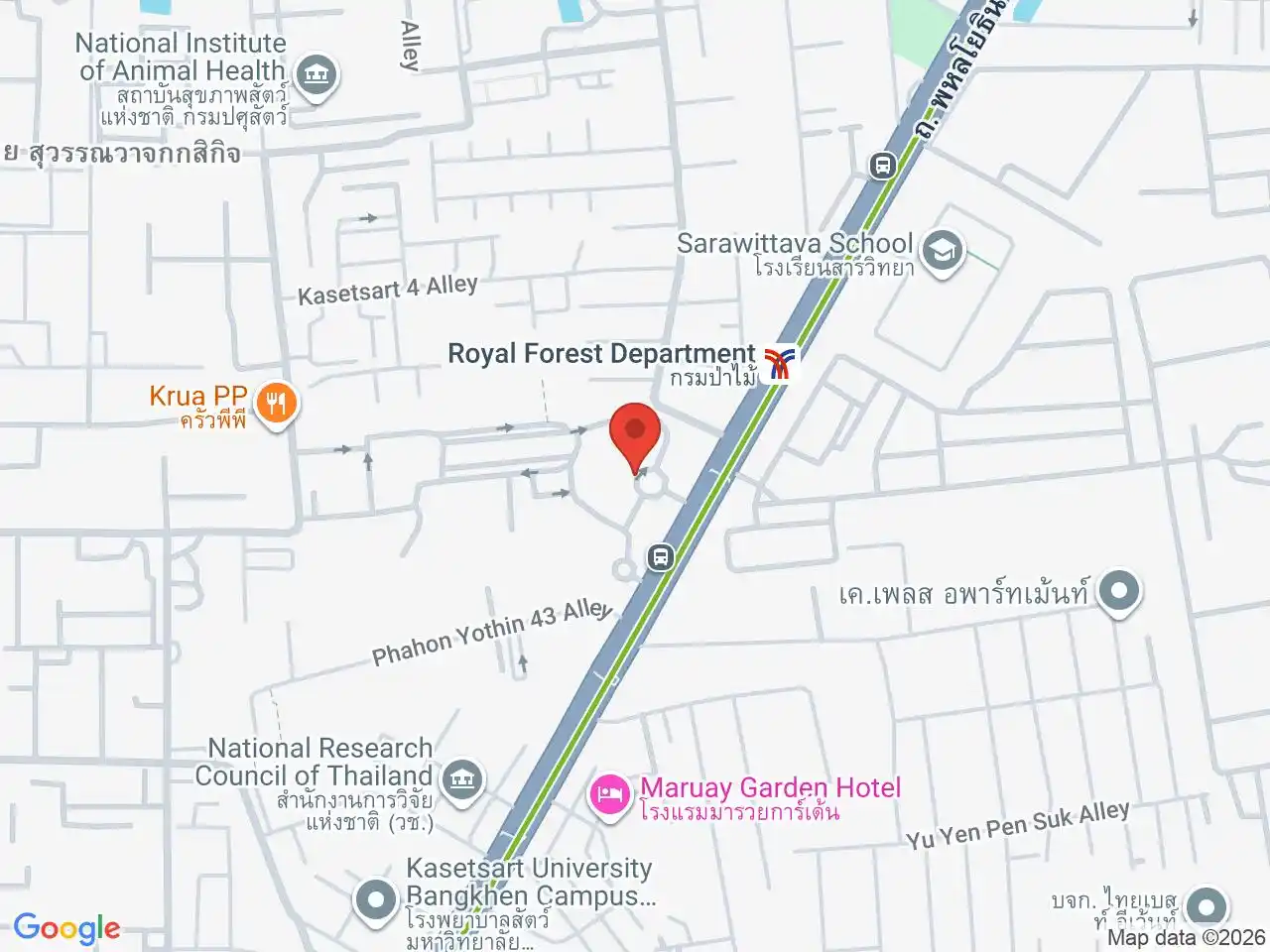
Royal Forest Department
กรมป่าไม้
Thailand’s forestry headquarters and leafy government campus.
Google Rating
98 reviews
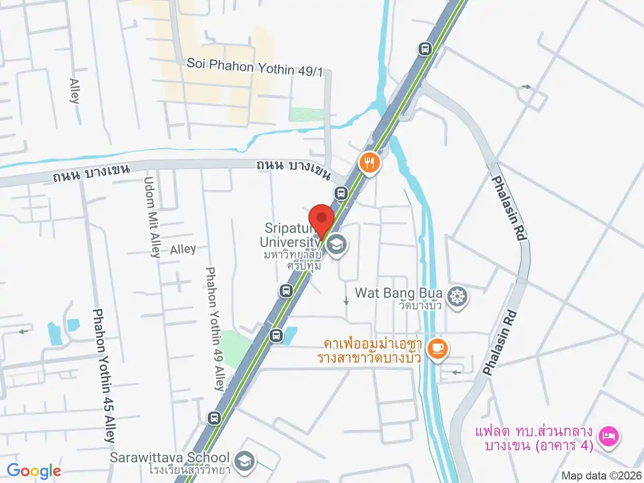
Bang Bua
บางบัว
Canal-side community and student-friendly Kasetsart neighborhood.
Google Rating
40 reviews
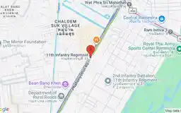
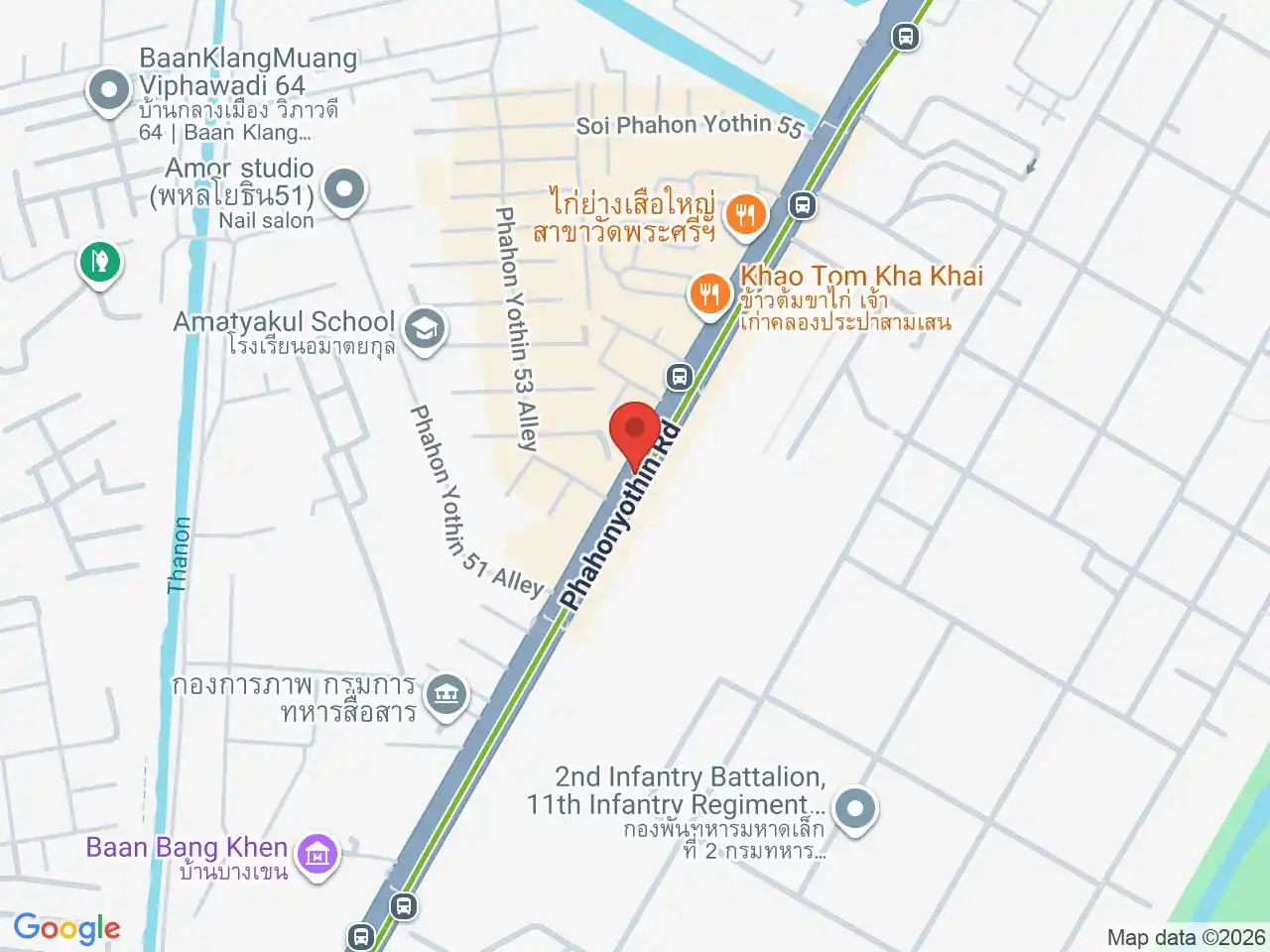
11th Infantry Regiment
กรมทหารราบที่ 11
Distinctive military district along northern Phahon Yothin.
Google Rating
88 reviews
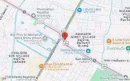
Wat Phra Sri Mahathat
วัดพระศรีมหาธาตุ
Landmark royal temple and Pink Line interchange.
Google Rating
34 reviews
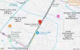
Phahon Yothin 59
พหลโยธิน 59
Local university, government, and residential neighborhood.
Google Rating
27 reviews
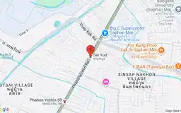
Google Rating
53 reviews
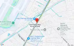
Saphan Mai
สะพานใหม่
Bustling traditional market and everyday neighborhood shopping.
Google Rating
34 reviews
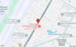
Bhumibol Adulyadej Hospital
โรงพยาบาลภูมิพลอดุลยเดช
Major Air Force hospital and surrounding medical district.
Google Rating
16 reviews
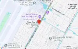
Royal Thai Air Force Museum
พิพิธภัณฑ์กองทัพอากาศ
Historic aircraft and Thailand’s military aviation heritage.
Google Rating
40 reviews
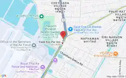
Yaek Kor Por Aor
แยก คปอ.
Northern commuter hub beside the Royal Thai Air Force district.
Google Rating
7 reviews
Google Rating
164 reviews