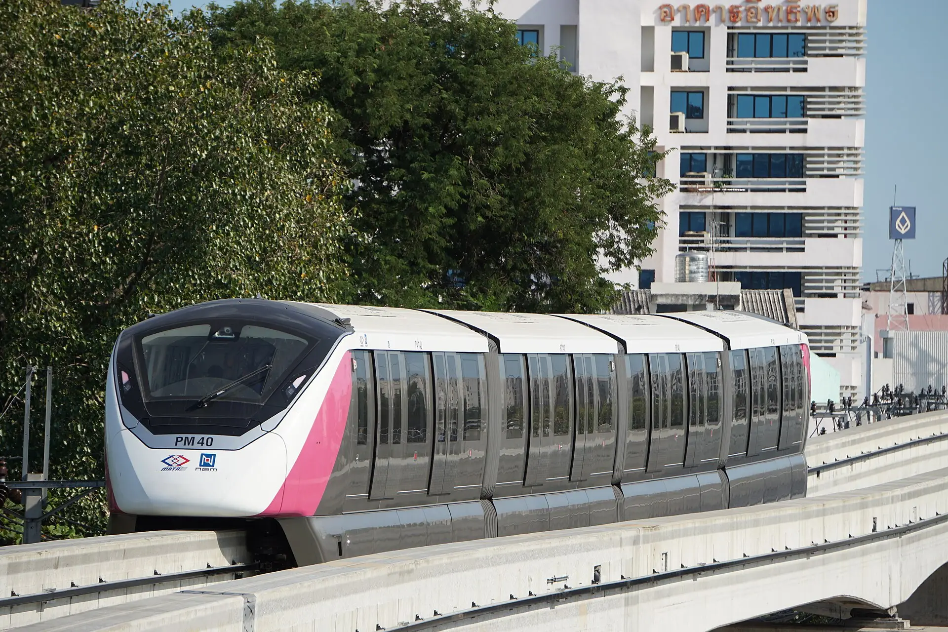

The MRT Pink Line is an elevated east–west route across Nonthaburi and northern Bangkok. It follows the Pak Kret, Chaeng Watthana, Lak Si, and Ram Inthra corridors before reaching Min Buri, turning many formerly road-only journeys into rail-plus-last-mile trips.
Main corridor and interchanges
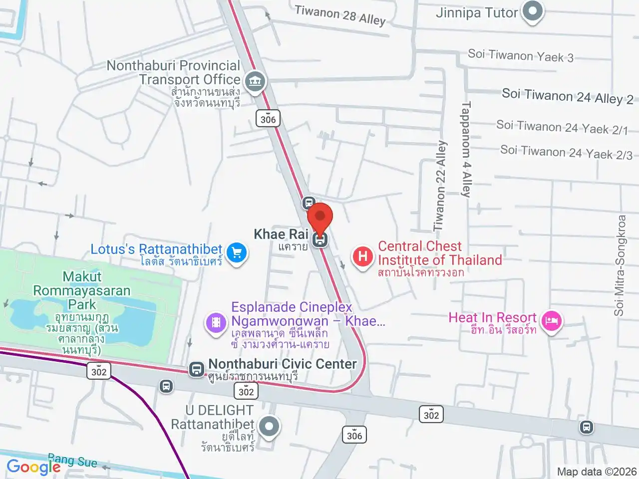
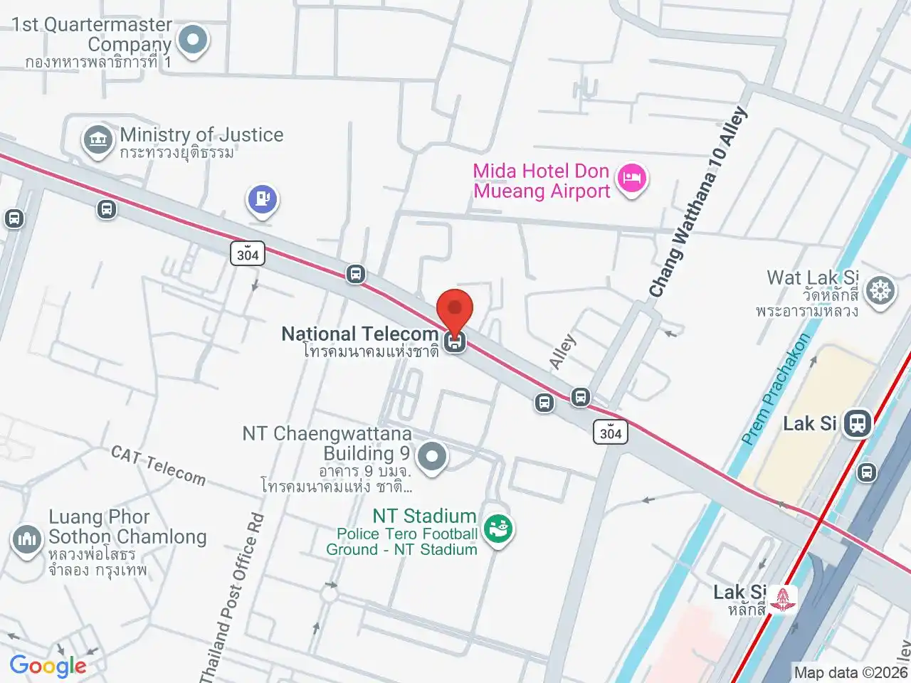
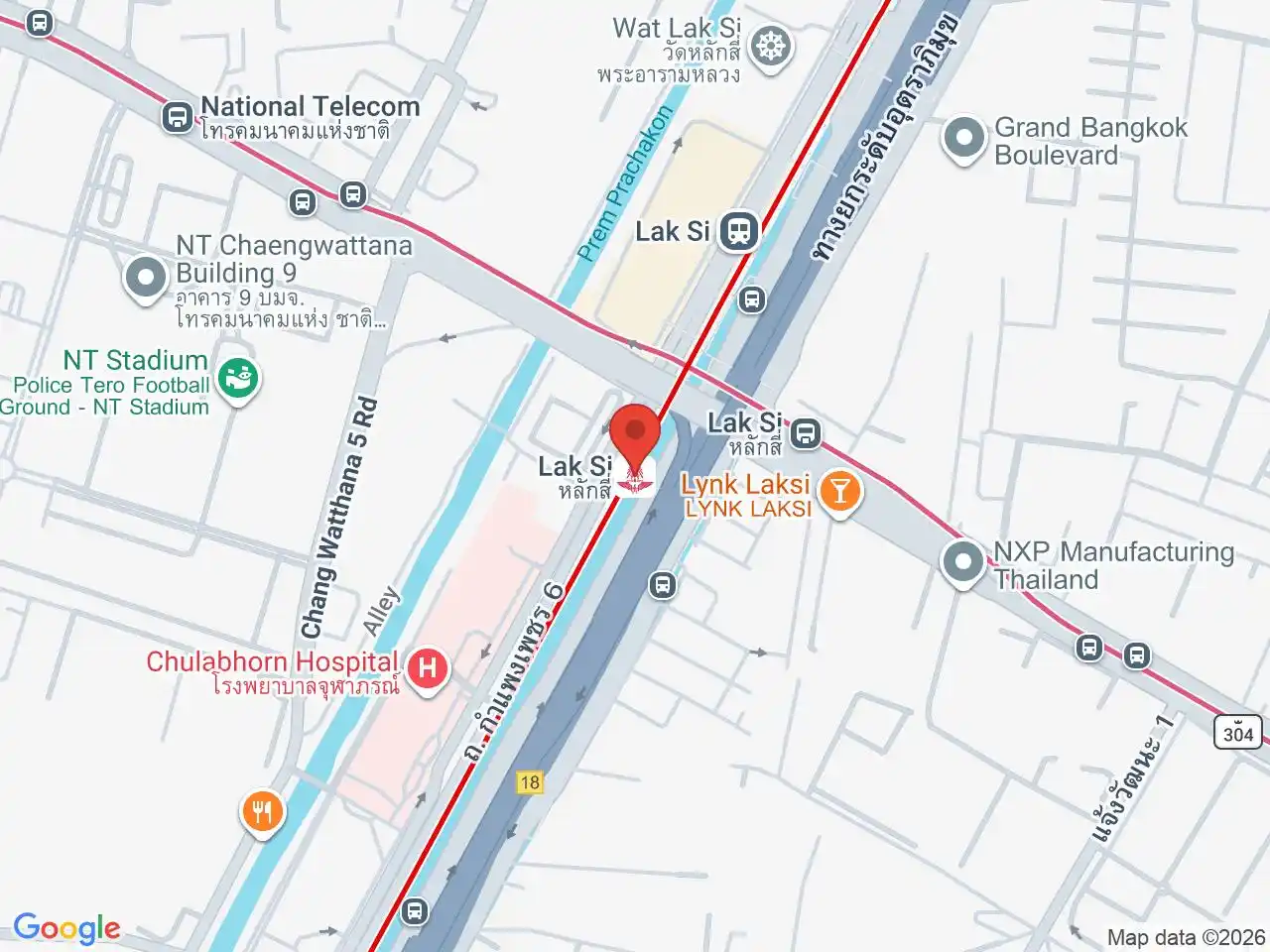
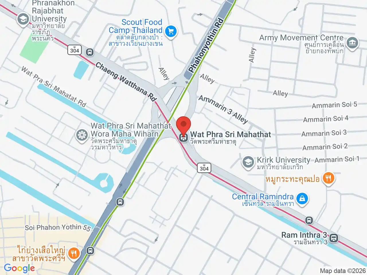
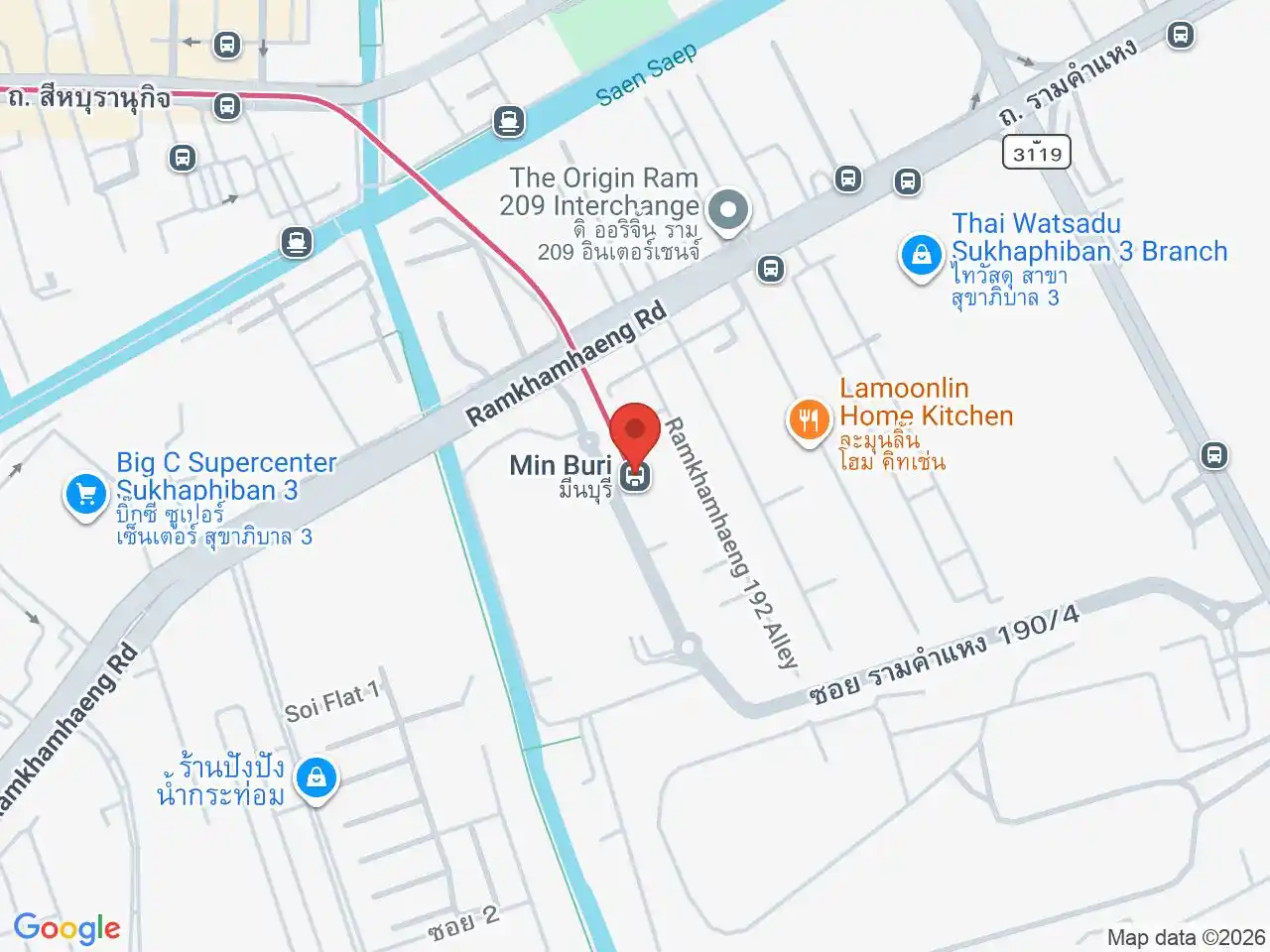
The western terminus at Nonthaburi Civic Center connects with the MRT Purple Line. The line then follows the Pak Kret and Chaeng Watthana corridor, serving civic buildings and large destinations that often need a final walk or road connection. Lak Si links with main-line and Red Line rail services, while Wat Phra Sri Mahathat connects with the northern BTS Sukhumvit corridor. At the eastern end, the route reaches Min Buri district.
Direction and branch checks
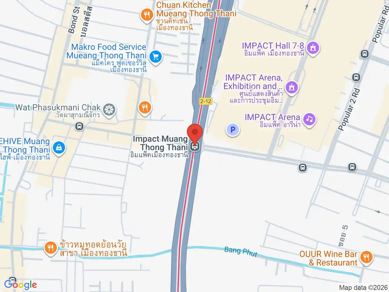
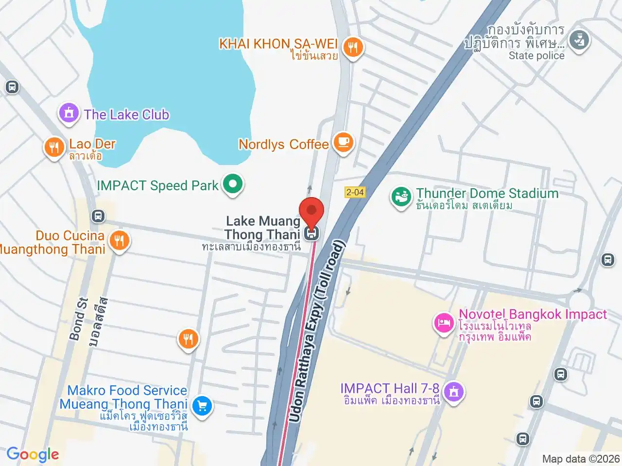
Main-line trains run toward Nonthaburi Civic Center or Min Buri. The branch into Muang Thong Thani adds separate destination and service decisions, so check the platform display and live operator information when travelling to IMPACT, Lake Muang Thong Thani, or another branch destination.
Use station maps for the last mile
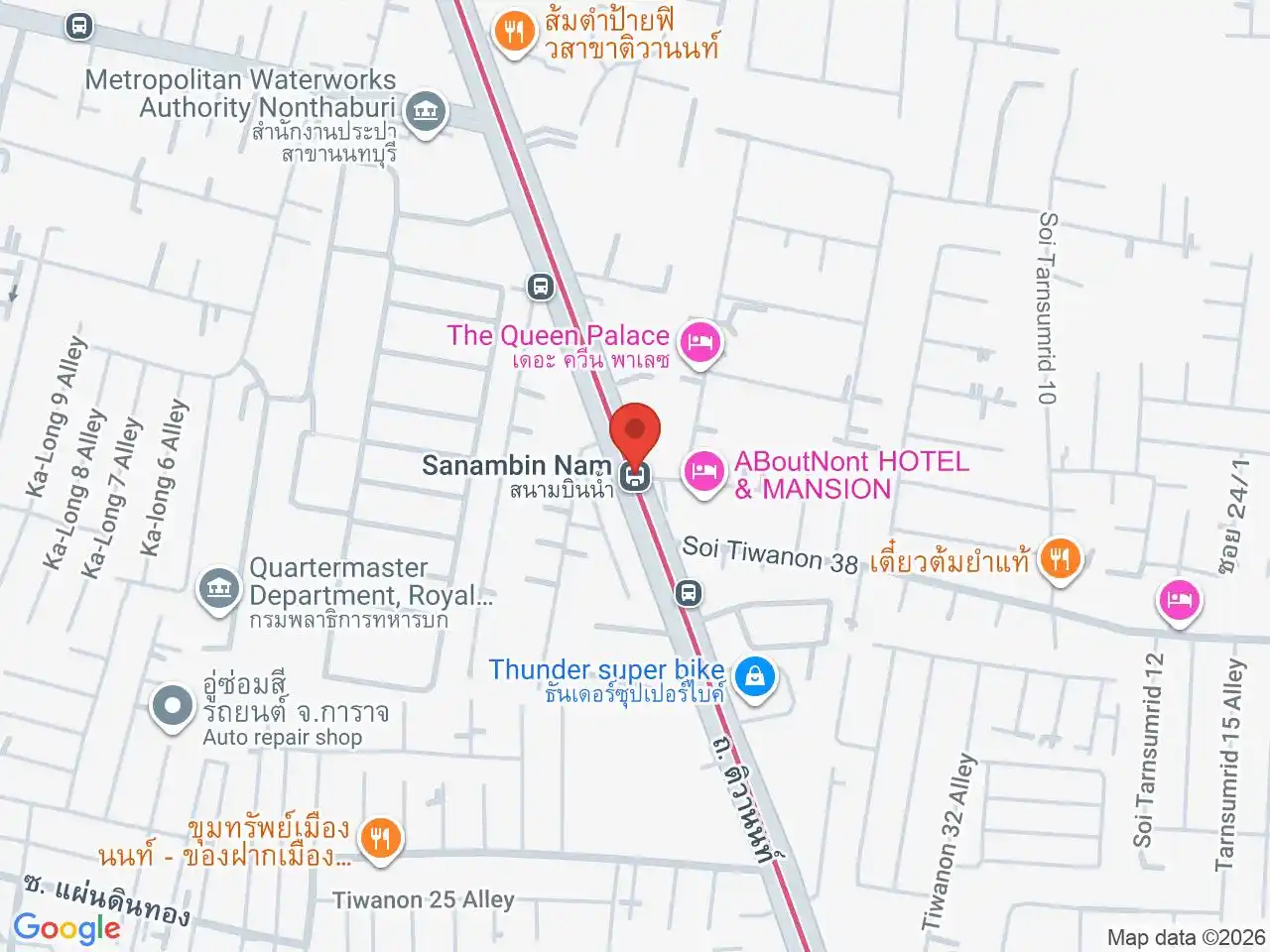
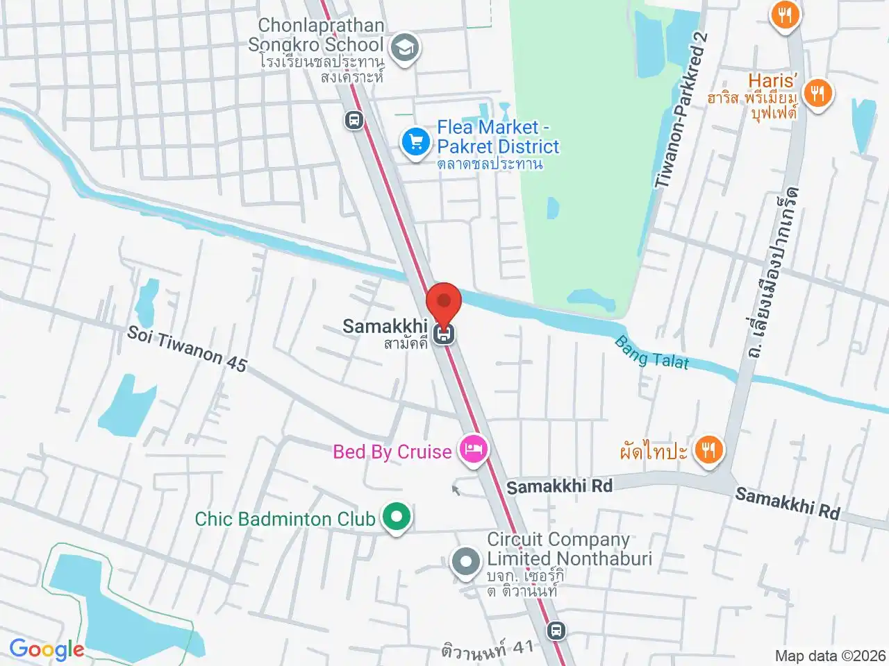
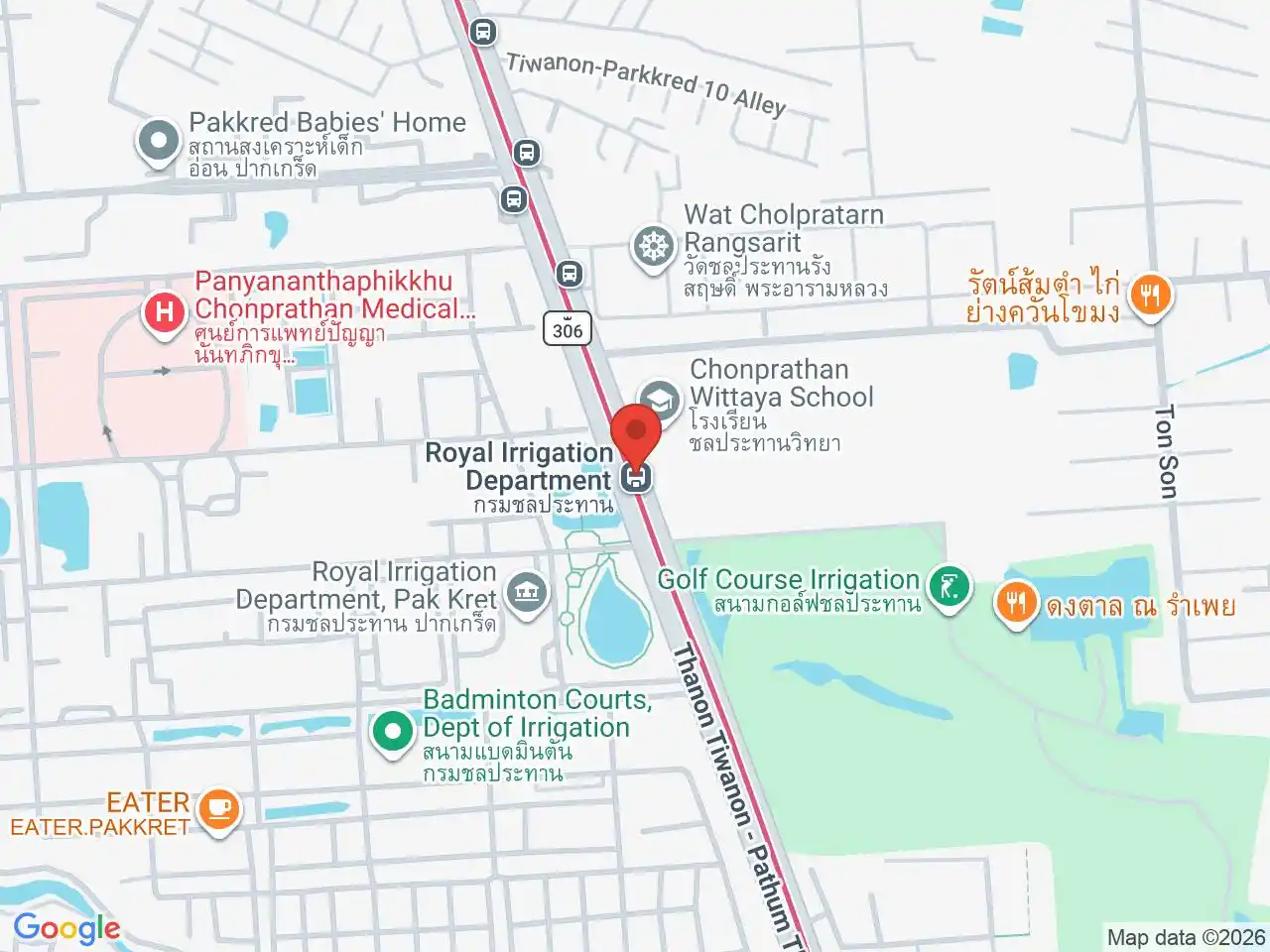
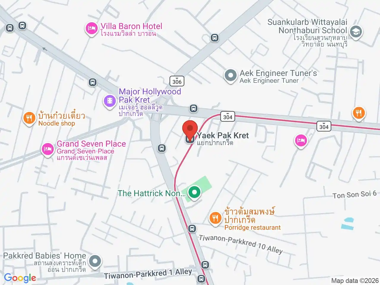
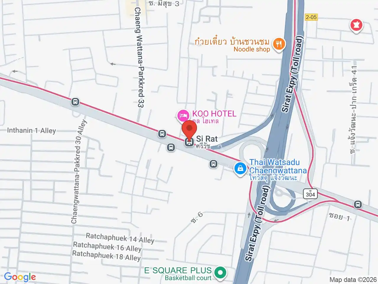
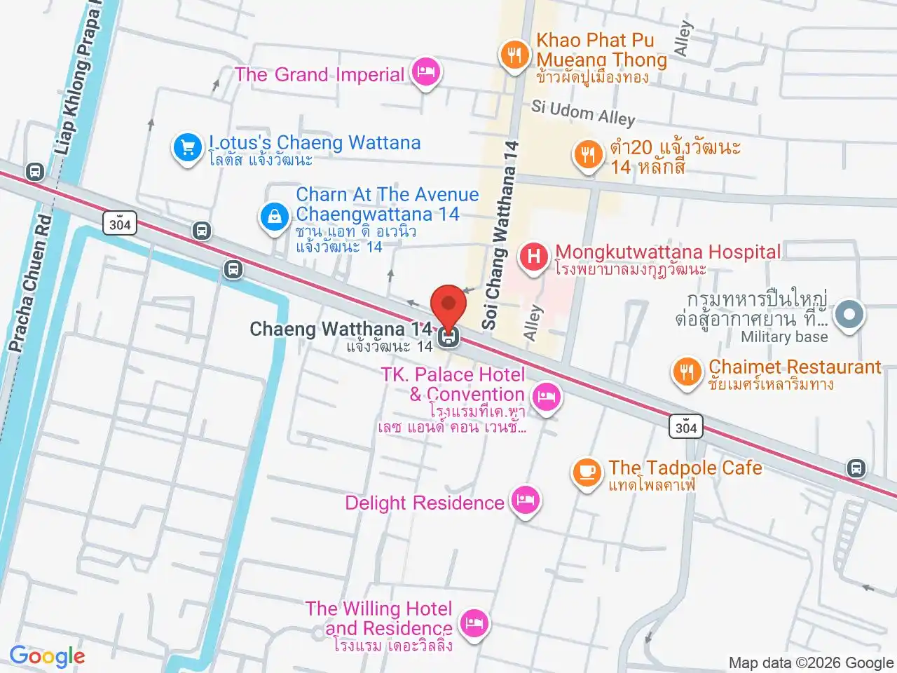
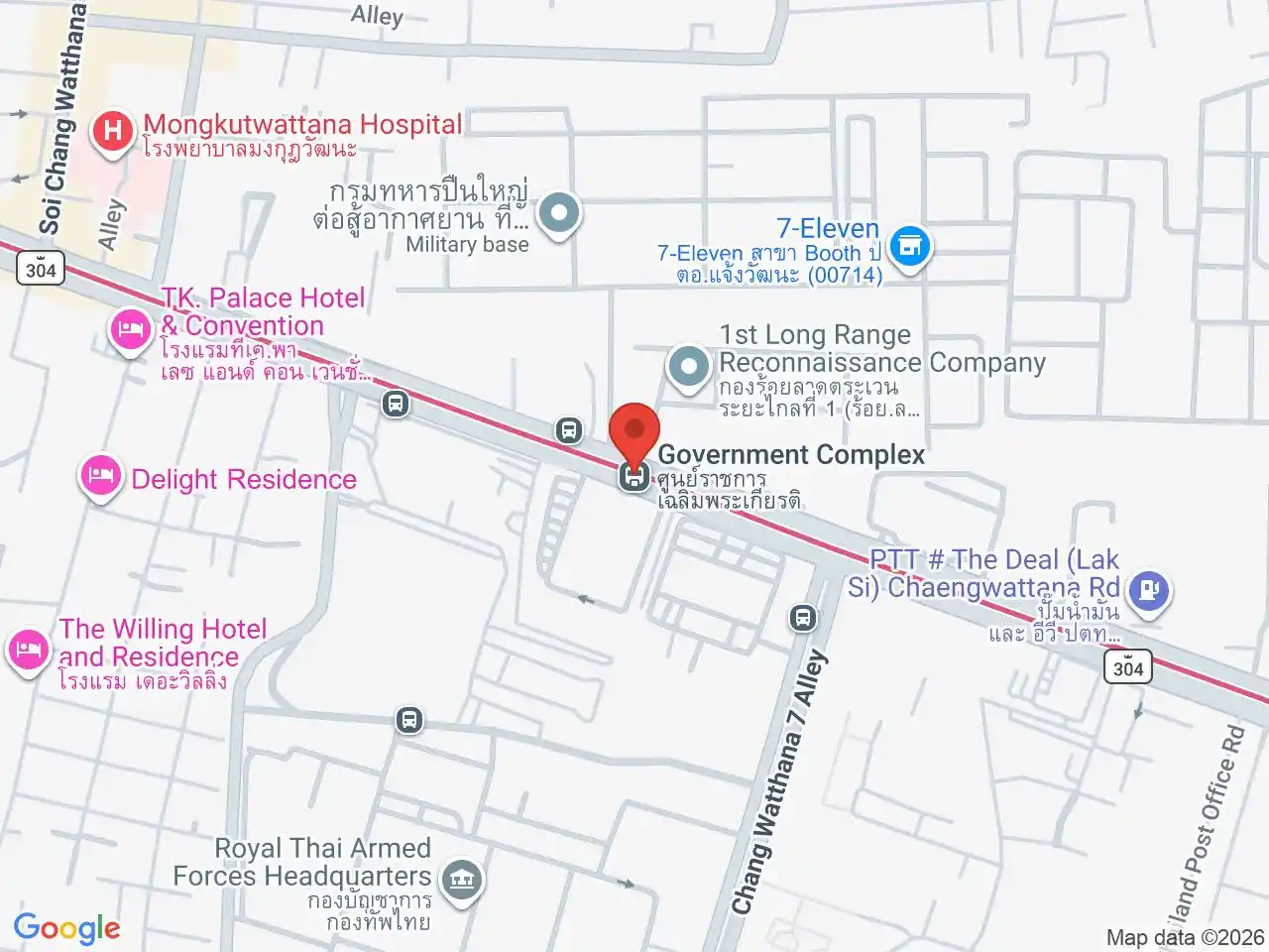
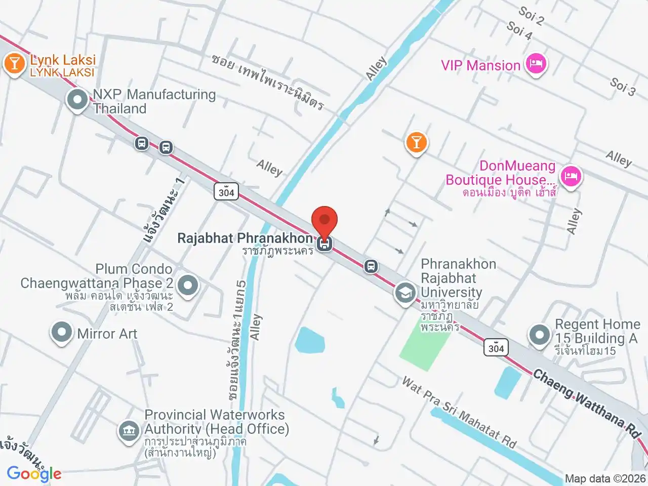
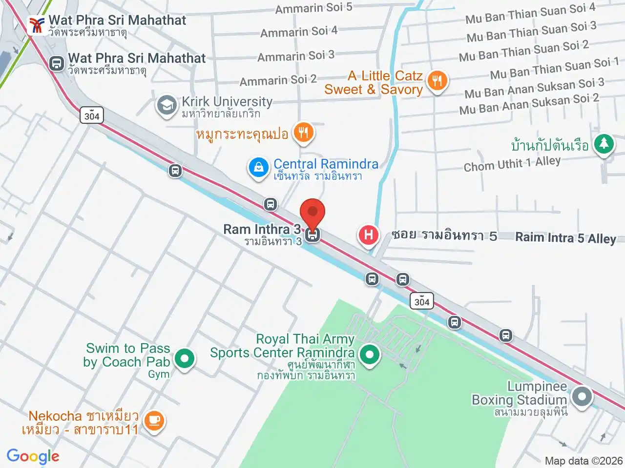
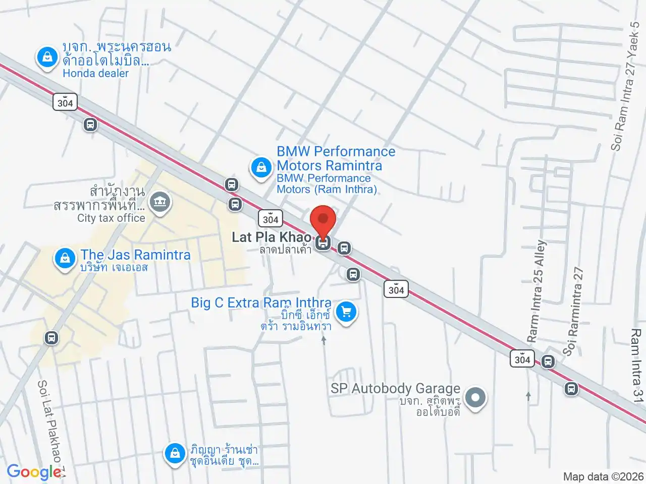
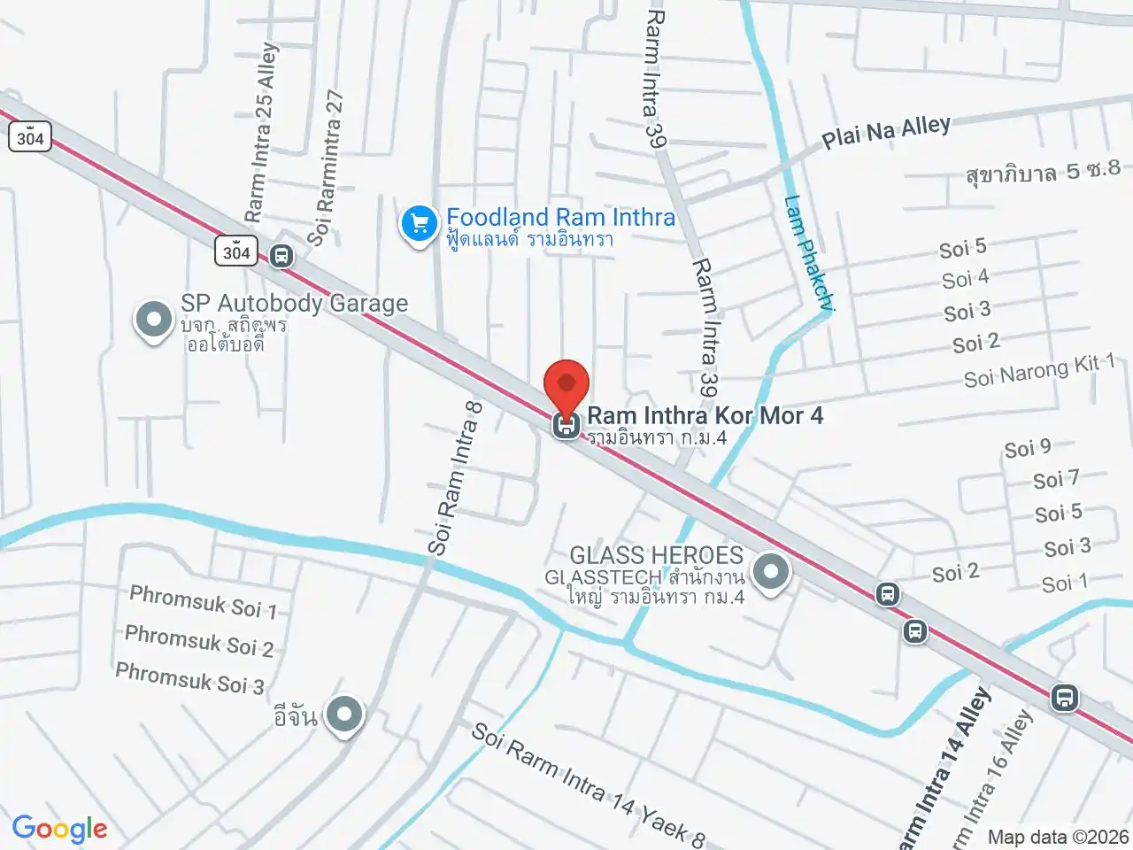
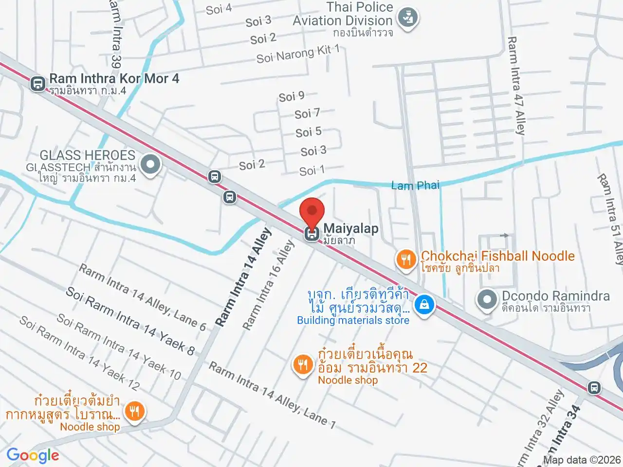
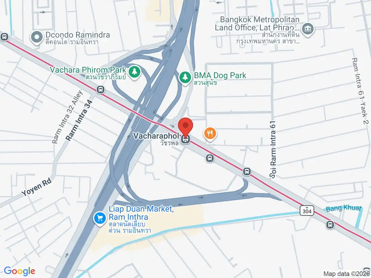
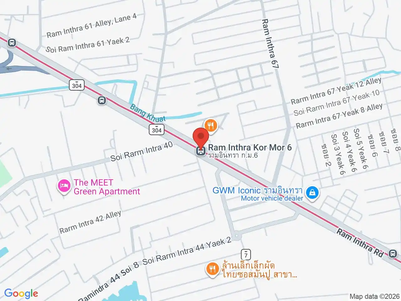
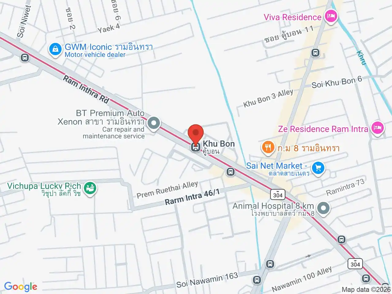
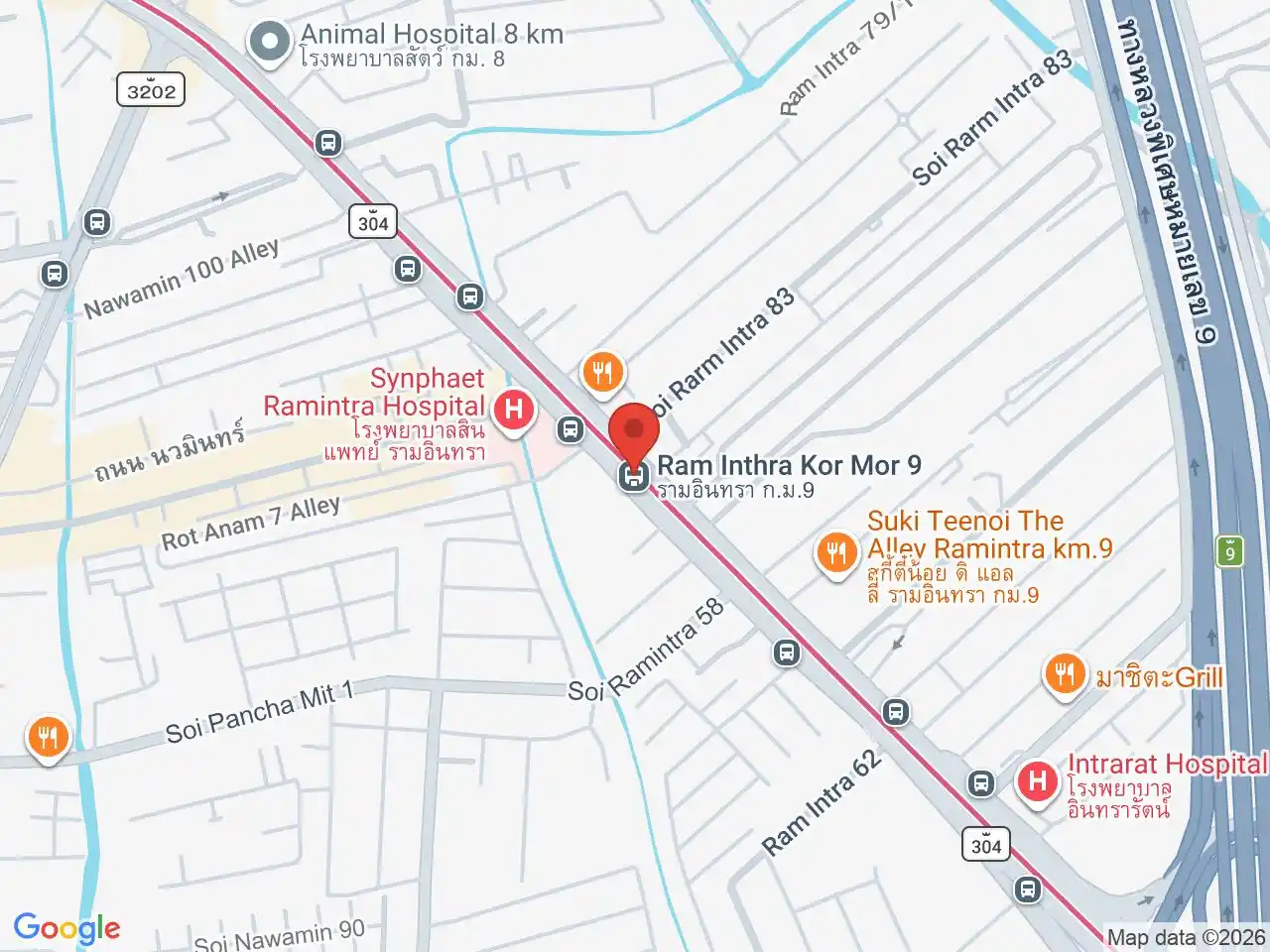
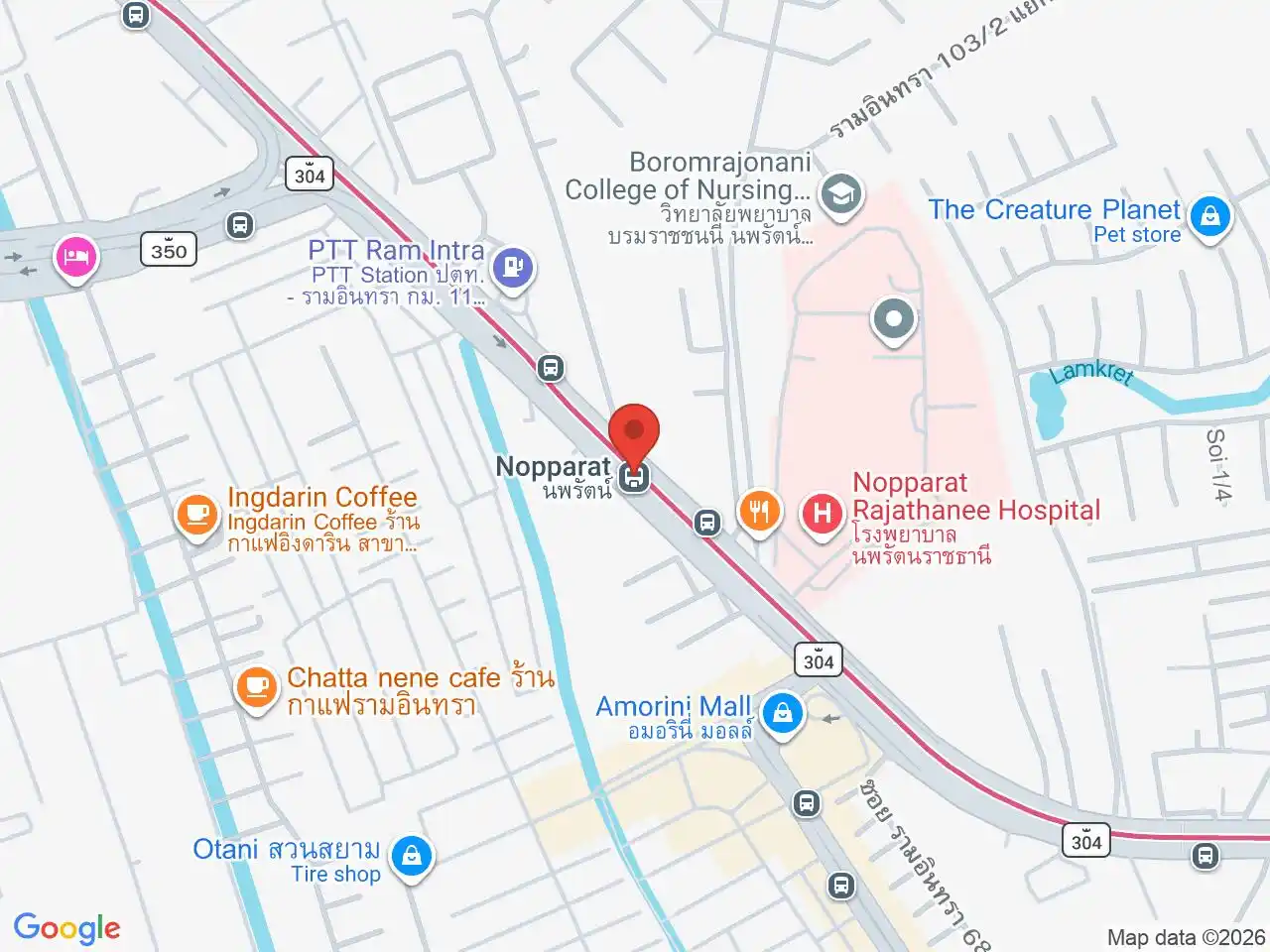
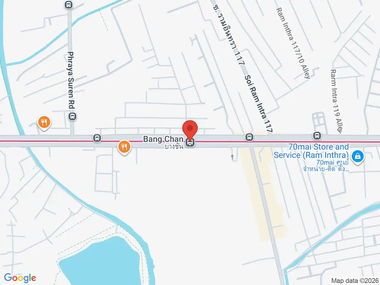
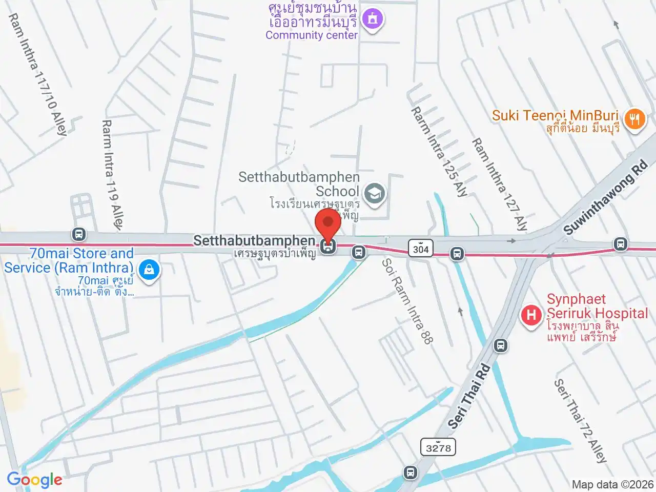
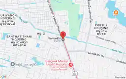
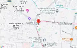
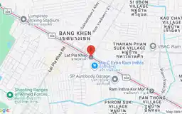
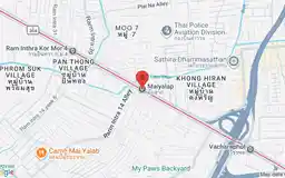
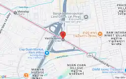
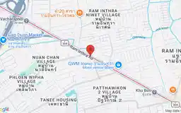
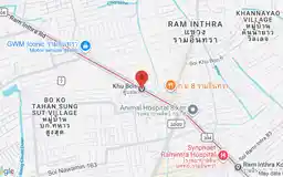
Many Pink Line names identify long roads, kilometre points, institutions, or local junctions rather than compact visitor areas. Open the exact station map to distinguish similar names and plan the correct road side, exit, bus, taxi, or motorcycle connection.
For a full overview of all transport options in Bangkok, see the Getting Around Bangkok guide.
For more information, see the Wikipedia article on MRT Pink Line.
MRT Pink Line stations
Nonthaburi Civic Center
ศูนย์ราชการนนทบุรี
Civic offices, public park, and Purple Line interchange.
Google Rating
7 reviews
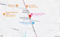
Sanambin Nam
สนามบินน้ำ
Government district along the distinctive Sanambin Nam corridor.
Google Rating
23 reviews
Google Rating
5 reviews
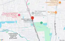
Royal Irrigation Department
กรมชลประทาน
Thailand’s historic national irrigation headquarters.
Google Rating
7 reviews
Google Rating
39 reviews
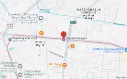
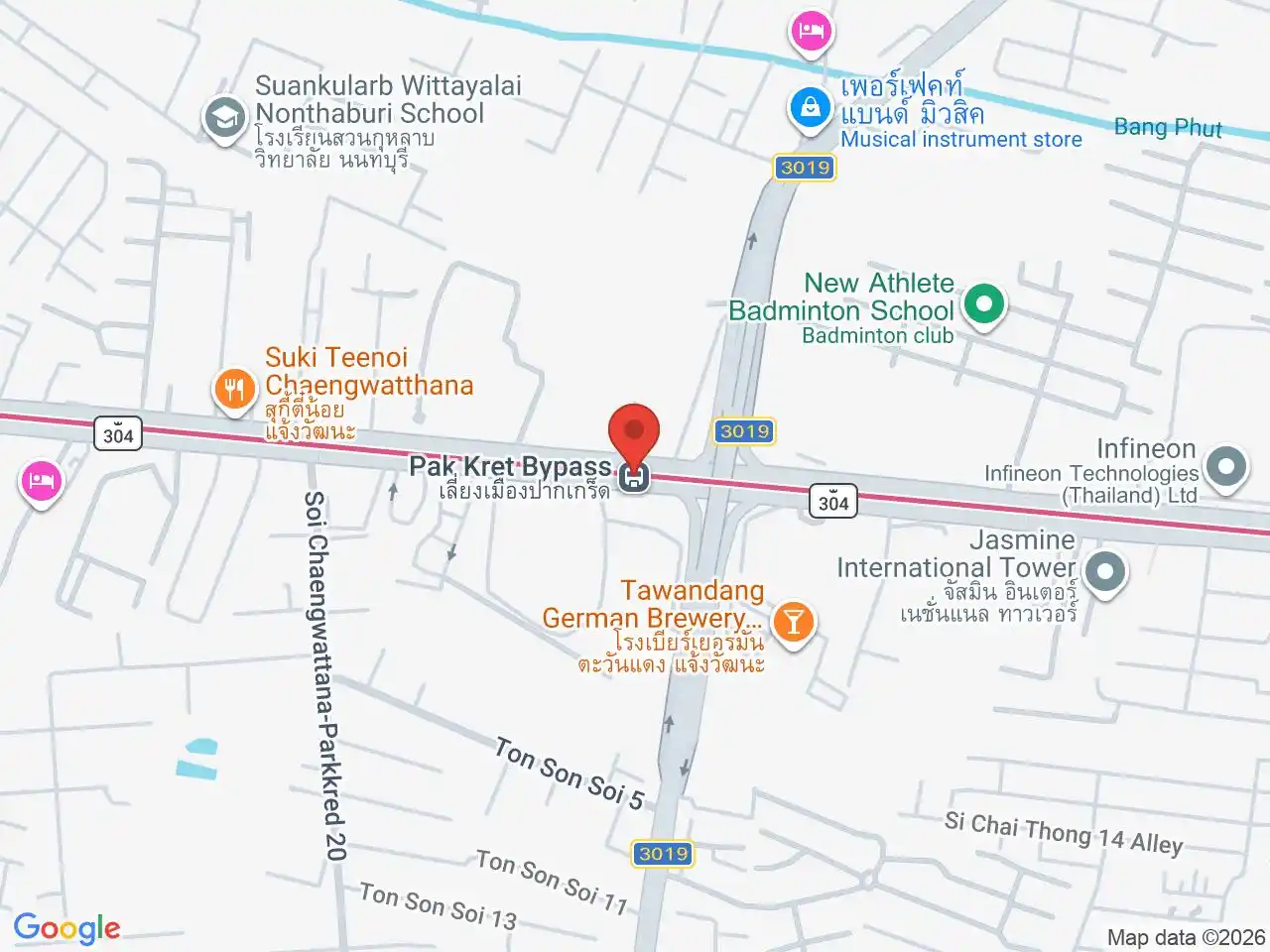
Pak Kret Bypass
เลี่ยงเมืองปากเกร็ด
Suburban shopping and busy Chaeng Watthana communities.
Google Rating
20 reviews
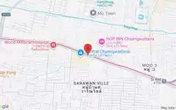
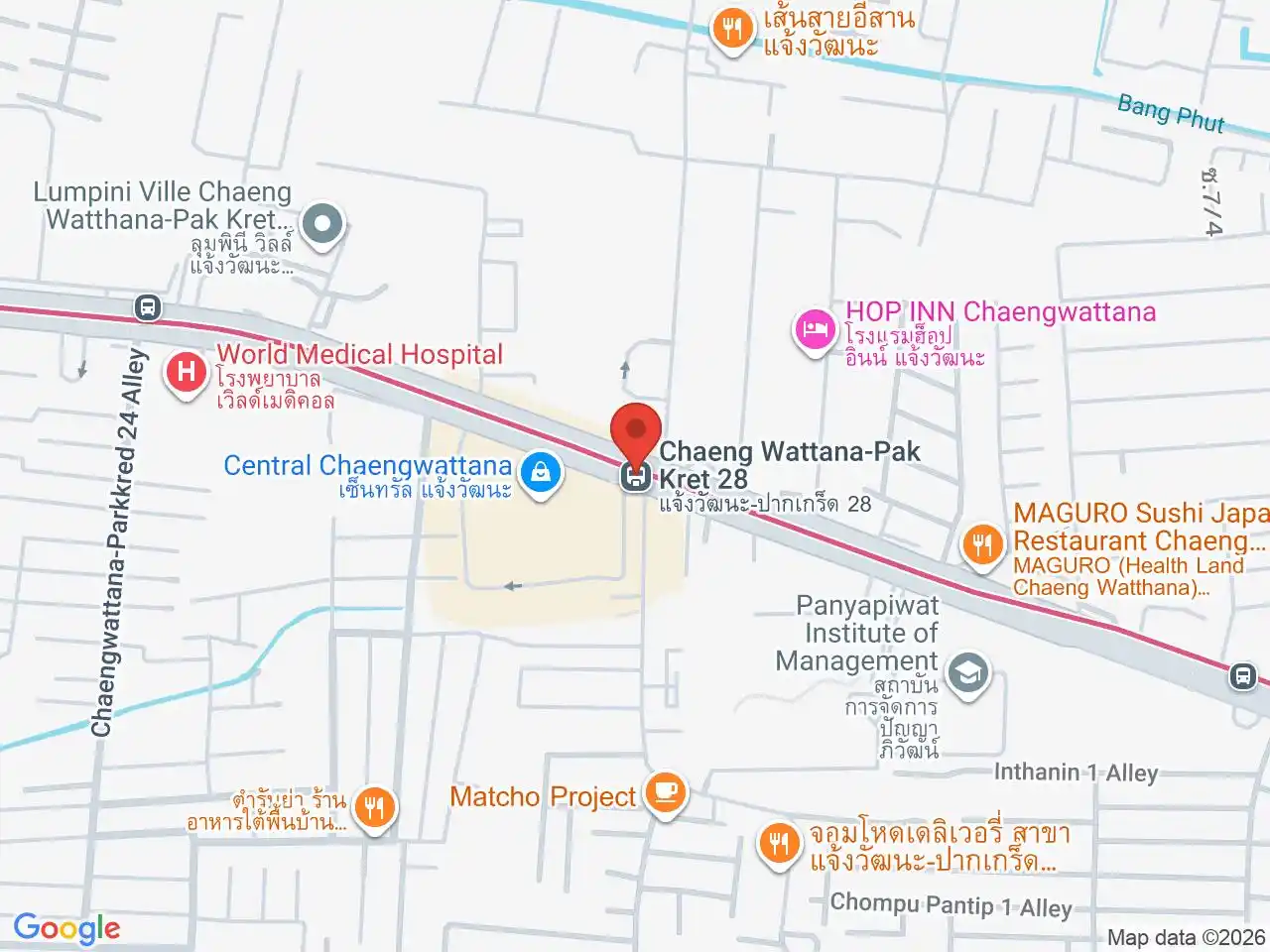
Chaeng Watthana-Pak Kret 28
แจ้งวัฒนะ-ปากเกร็ด 28
Central Chaengwattana and major retail shopping.
Google Rating
17 reviews
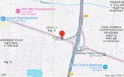
Google Rating
23 reviews
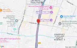
Google Rating
31 reviews
Impact Muang Thong Thani
อิมแพ็ค เมืองทองธานี
Concerts, conventions, exhibitions, and IMPACT Arena.
Google Rating
31 reviews
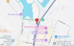
Lake Muang Thong Thani
ทะเลสาบเมืองทองธานี
Lakeside events, Thunder Dome, and recreation.
Google Rating
18 reviews
Google Rating
23 reviews
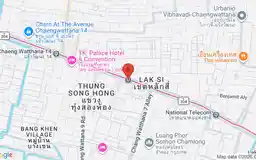
Government Complex
ศูนย์ราชการเฉลิมพระเกียรติ
Ministries, courts, immigration offices, and government services.
Google Rating
17 reviews
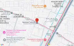
National Telecom
โทรคมนาคมแห่งชาติ
Thailand’s national telecommunications headquarters district.
Google Rating
17 reviews
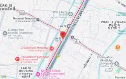
Google Rating
180 reviews
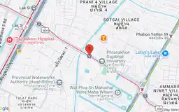
Rajabhat Phranakhon
ราชภัฏพระนคร
Phranakhon Rajabhat University and student community.
Google Rating
9 reviews
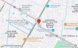
Google Rating
37 reviews
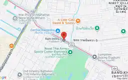
Google Rating
9 reviews
Google Rating
13 reviews
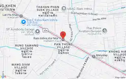
Ram Inthra Kor Mor 4
รามอินทรา กม.4
Residential Ram Inthra and everyday local dining.
Google Rating
6 reviews
Google Rating
19 reviews
Google Rating
19 reviews
Google Rating
25 reviews
Google Rating
30 reviews
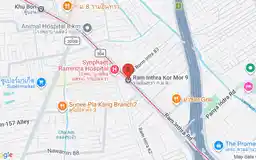
Ram Inthra Kor Mor 9
รามอินทรา กม.9
Shopping, restaurants, and eastern suburban Bangkok.
Google Rating
22 reviews
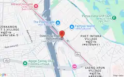
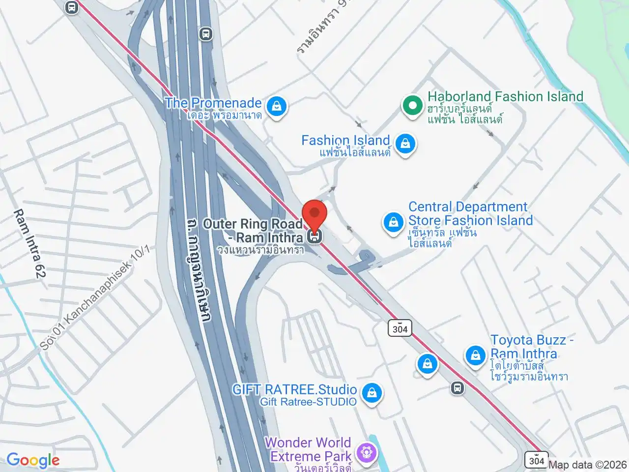
Outer Ring Road-Ram Inthra
วงแหวนรามอินทรา
Fashion Island and major regional shopping.
Google Rating
20 reviews
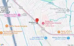
Google Rating
5 reviews
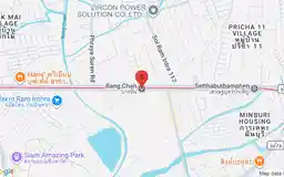
Google Rating
12 reviews
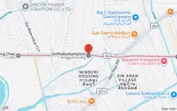
Google Rating
4 reviews
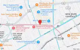
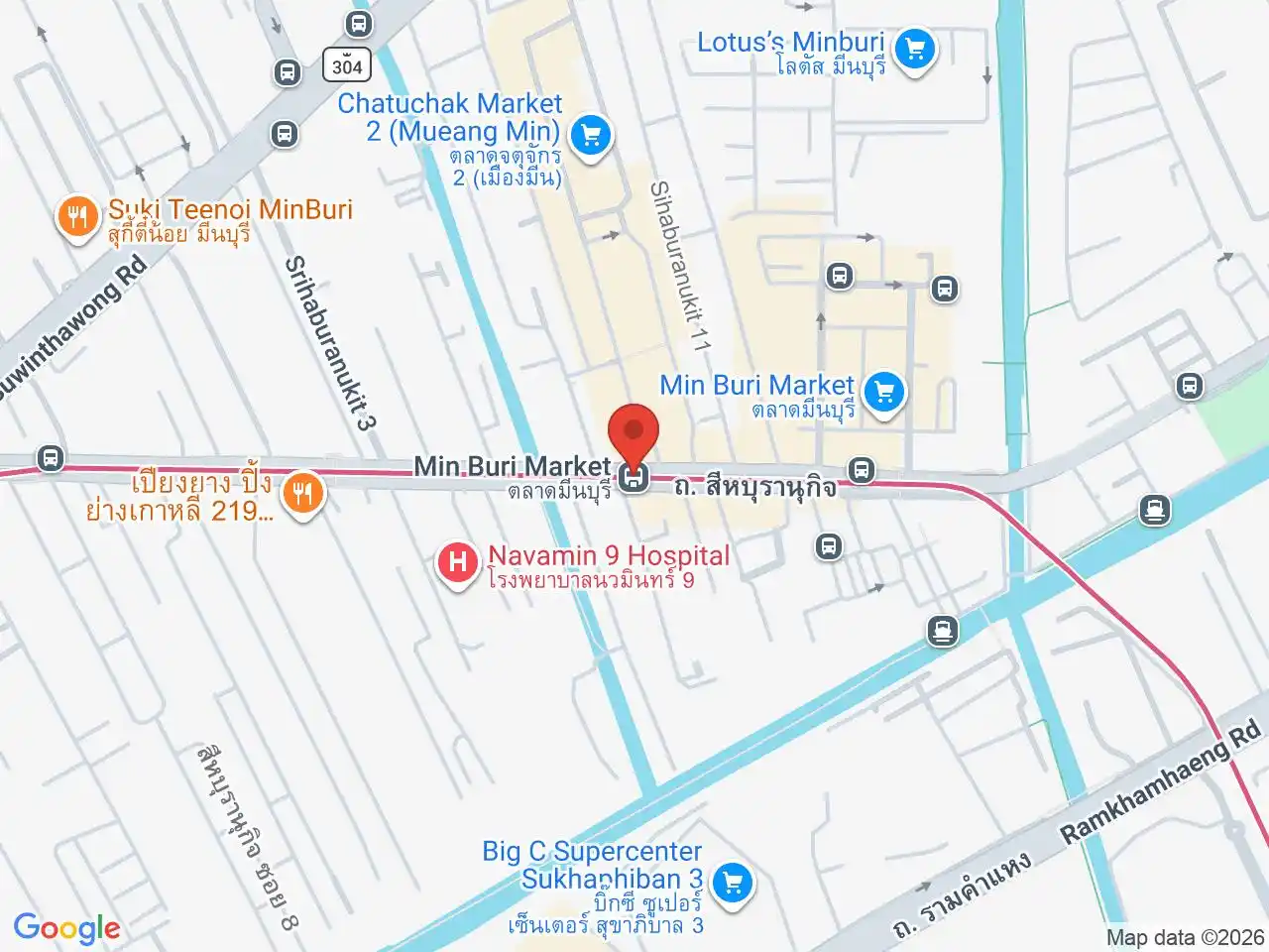
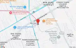
Min Buri Market
ตลาดมีนบุรี
Bustling traditional market for food, produce, and household goods.
Google Rating
67 reviews
Google Rating
36 reviews