Charoen Krung Road is one of the best places to see Bangkok’s shift from water-based city to road-connected modern capital. Built in the 19th century, it became a corridor of river trade, foreign contact, embassies, hotels, shops, churches, warehouses, and later creative revival.
In the Bangkok history timeline, Charoen Krung is where old river Bangkok and modernizing Bangkok overlap.
Bowring Treaty context
The road makes more sense after the Bowring Treaty of 1855. The treaty opened Siam more widely to international trade and brought more foreign merchants, diplomats, businesses, and shipping activity into Bangkok.
That foreign presence clustered around the Chao Phraya riverfront. Embassies, consulates, churches, warehouses, hotels, and commercial buildings needed better land routes as well as river access. Charoen Krung became part of that answer during the reign of King Rama IV, then the wider modernization of Bangkok continued under King Rama V.
Why the road mattered
Before roads dominated, Bangkok moved by river and canal. Charoen Krung represented a new kind of infrastructure: a modern road connecting royal Bangkok, commercial districts, foreign communities, and the riverfront.
It helped change how people moved through the city. It also made the area important for business, diplomacy, hotels, shops, and services tied to trade.
What survives today
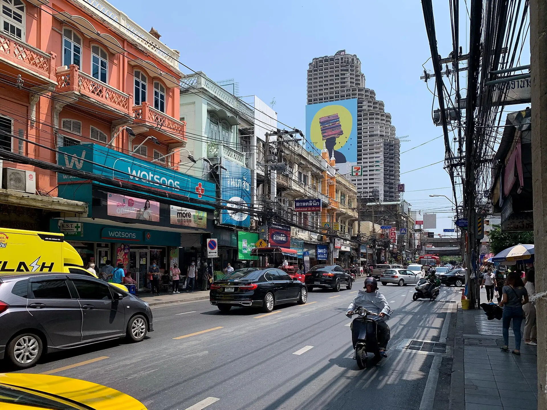
Charoen Krung still has old shophouses, religious buildings, warehouses, galleries, restaurants, hotels, and river access. It is not frozen in one period. That is the point.
The road tells a long story: water city, trade corridor, colonial-era contact without direct colonization, modern city street, and contemporary creative district.
How to walk it
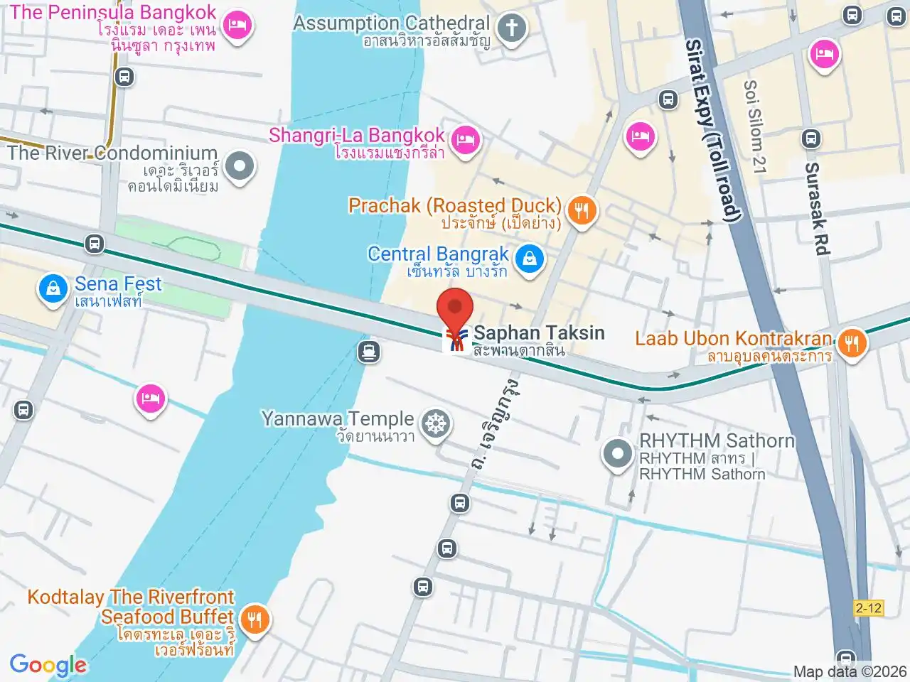
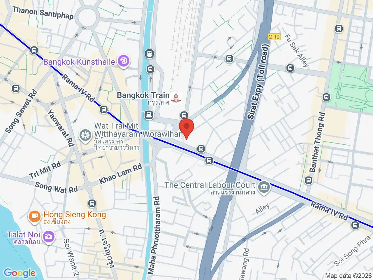
Start around Saphan Taksin BTS or the river piers, then move north toward Talat Noi and Chinatown if you have time. Do not rush it as a checklist.
Use this page with Bangkok Chinatown and Yaowarat history and Rama V and Bangkok modernization to connect the road to wider city change.
Related Areas for Charoen Krung Road and Bangkok Modernization
Charoen Krung is one of Bangkok's most historic roads, now known for creative spaces, galleries, riverside hotels, and heritage architecture.
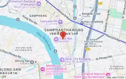
Talat Noi is a characterful old area known for street art, heritage buildings, workshops, and a growing creative scene.

Yaowarat is Bangkok's historic Chinatown area, useful for living, food, markets, temples, old shophouses, accommodation choices, and MRT access.
Related Stations for Charoen Krung Road and Bangkok Modernization
Google Rating
816 reviews
Google Rating
791 reviews