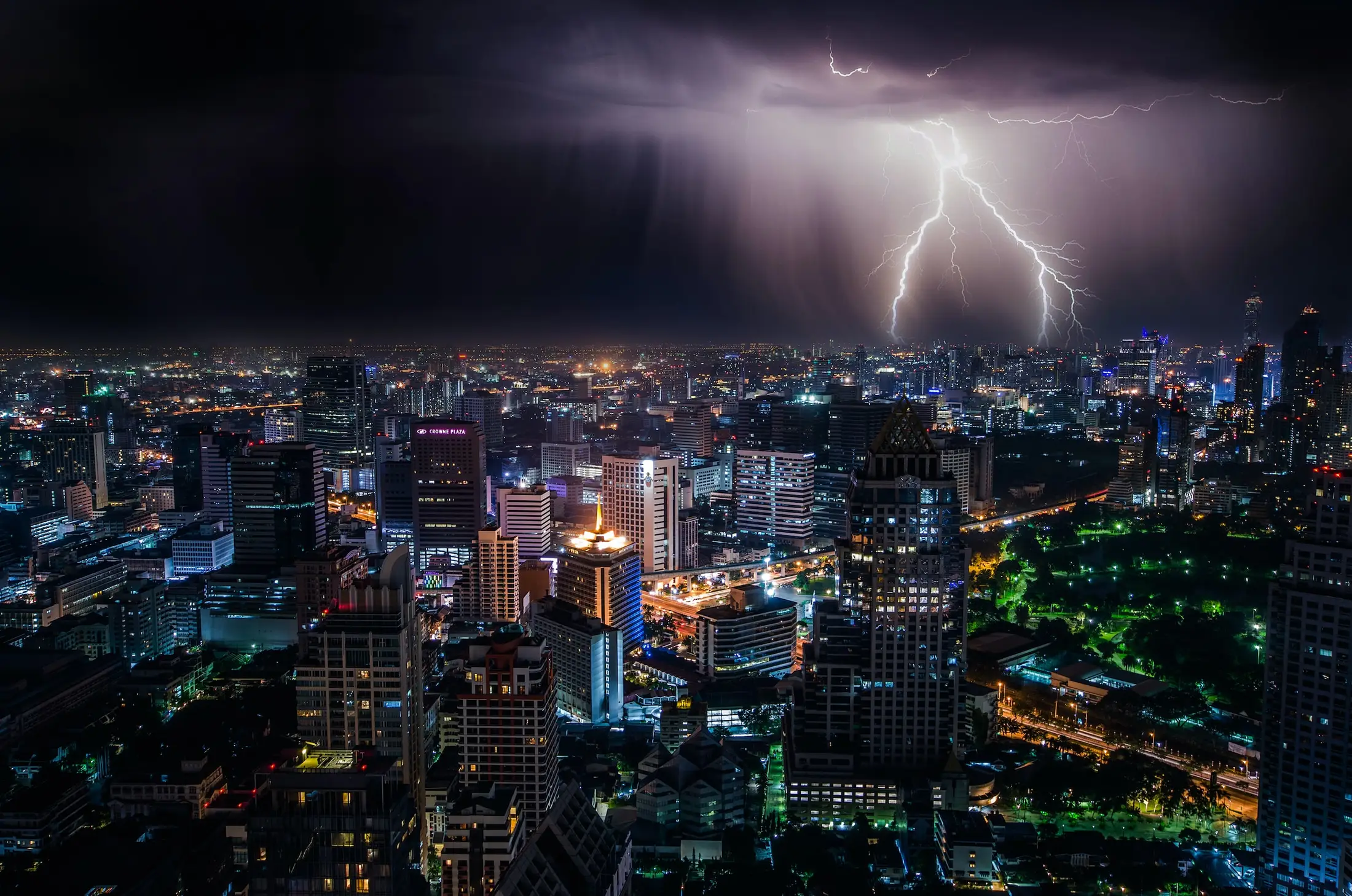
Water has shaped Bangkok from the beginning. The river and canals made the city possible, but flooding, drainage, monsoon rain, land subsidence, and flood-control decisions remain central to how Bangkok works.
This is not a side topic in Bangkok history. It is one of the city’s main long-term forces.
From canal city to flood city
Old Bangkok used water as transport and trade infrastructure. As the city modernized, roads, buildings, and filled canals changed drainage patterns.
The city still sits on low land in a river delta. Heavy rain, upstream water, high tides, drainage limits, and urban growth can combine in difficult ways.
The 2011 flood
The 2011 flood was one of the clearest modern reminders that Bangkok is part of a larger water system. Much of Thailand was affected, and Bangkok faced intense flood-control pressure.
The event changed how many residents thought about housing, roads, industrial zones, drainage, and the risk of assuming the city can fully separate itself from water.
What visitors should understand
Most trips are not defined by flooding, but rainy season can still affect movement. Streets can flood quickly during heavy storms, traffic slows, and walking routes become harder.
Use the Bangkok weather guide for practical seasonal advice. Use Bangkok as a canal city to understand why the issue is historical, not only meteorological.
Related Areas for Bangkok Floods and Water History
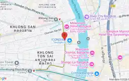
Charoen Nakhon is a Chao Phraya riverside area in Khlong San known for ICONSIAM, river views, and fast connections into central Bangkok.
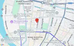
Rattanakosin is Bangkok's historic core, home to the Grand Palace, major temples, museums, and some of the city's most important landmarks.
Related Attractions for Bangkok Floods and Water History
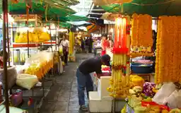
Pak Khlong Talat
Google Rating
16,151 reviews
Bangkok's largest flower market operates around the clock, with the most spectacular displays of orchids, jasmine garlands, and roses after midnight.